Malls · Alabama
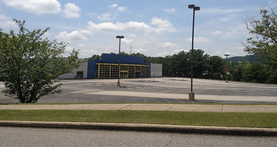
Eastwood Mall
Eastwood Mall in Birmingham, AL, opened as a center, was demolished, and the site is now referenced as Eastwood Village. · summary, model-written
Solid = from the authors' map · outlined = public source · dashed = model-written, not yet reviewed by a person. Tap any value's source label to see where it came from.
Site profile12 elements · what this retrofit is built with · tap a chip for the evidence
Closed or demolished, no retrofit recorded
This site: …demolished extraction · all sites with this15-minute neighbourhood (5+ of 6 daily needs within 800 m)
This site: 6/6 openstreetmap · all sites with this3+ other atlas sites within 10 km
This site: 3 within 10 km computed · all sites with this30,000+ vehicles a day on an adjacent road
This site: 64,449 on I-20 fhwa-hpms · all sites with thisCounty lost 10%+ of retail establishments since 2012
This site: -11% census-cbp · all sites with thisGrocery within 800 m
This site: 4 stores openstreetmap · all sites with thisHigh inland flooding risk
This site: Relatively High fema-nri · all sites with thisHigh tornado risk
This site: Relatively High fema-nri · all sites with thisInterstate or freeway within 600 m
This site: I-20 fhwa-hpms · all sites with thisLow social vulnerability tract (SVI ≤ 0.25)
This site: 0.20 cdc-svi · all sites with thisTract house prices doubled in 10 years
This site: +101% fhfa · all sites with thisWalkable block group (EPA ≥ 12)
This site: …index 14.3 epa-walkability · all sites with thisNow
| Status | Demolishedextracted, unreviewed |
|---|---|
| What is there now | Eastwood Villageextracted, unreviewed |
Site context
| Transit within 800 m | no rail station; 7 bus stops within 400 mOpenStreetMap |
|---|---|
| Motorway junctions within 2 km | 132, 132A, 132B, 133OpenStreetMap |
| FEMA flood zone | X · AREA OF MINIMAL FLOOD HAZARDFEMA NFHL |
| EPA-regulated facilities within 500 m | 18: ALADDIN CLEANERS; BURCH CORPORATION OFFICE AND WAREHOUSE; CHICK-FIL-A EASTWOOD VILLAGE; COMPASS BANK @ EASTWOOD VILLAGE; CROWN AL-29EPA FRS |
| Census tract 01073005600 | 4,460 people, 2,745 per sq mi; median household income $73,455; median gross rent $1,168; 40% renters; 8.0% vacant units; 0.0% commute by transitACS 2023 5-year |
| Walkability (EPA, block group) | index 14.3 of 20; 75 intersections per sq mi; nearest transit stop 645 m; land-use mix 0.83; 95,438 jobs within 45 min by car, 1,427 by transit; 18% of households without a carEPA Smart Location |
| Within a 10–15 minute walk (800 m) | 6 of 6 daily needs: 4 grocers, 1 schools, 6 parks or playgrounds, 3 health, 2 civic, 14 food and drink; 0 cycleway segments, 10 sidewalk-tagged segmentsOpenStreetMap |
| Opportunity Zone | noHUD |
| Housing permits, Jefferson County (AL), 2024 | 556 units in 5+ unit buildings, 25 in 2–4, 1,536 single-family; 2023: 324 in 5+Census BPS |
| Social vulnerability (CDC SVI 2022, tract) | overall percentile 0.20; socioeconomic 0.05; housing and transport 0.65; 8% below 150% of poverty; 3% of households with no vehicleCDC/ATSDR |
| Other atlas sites nearby | 3 within 10 km, 4 within 25 km: Century Plaza (0.5 km); Larkway Gardens (7.7 km); Brookwood Village (8.1 km)computed |
| Overture Maps | no place match; building footprint 19,125 m², 7.206735134124756 mOverture (CDLA-Permissive 2.0) |
| Attention: Wikipedia page views | 28,641 since 2015; 2,086 in the last 12 months (-28% vs the prior 12); peak 2020-11 with 408Wikimedia |
| Tract change 2013–2023 | population -7% (4,789 → 4,460); median income +44% ($50,875 → $73,455); renters 36% → 40%; median home value +88% ($184,200 → $346,500)Census ACS 5-year |
| Natural hazard risk (FEMA National Risk Index, tract) | relatively moderate overall (score 79.3); expected annual loss $2.3M; high: tornado, inland flooding, cold wave, lightning; community resilience relatively highFEMA NRI |
| Tax-credit housing within 1 km | 1 LIHTC properties, 90 units: Augusta Pointe (90 units)HUD LIHTC |
| Retail trade in the county, 2012 to 2023 | 2,489 establishments (-11%); 37,386 jobs (-4%)Census CBP |
| Housing market in the county | typical home value $214,208 (+2% 1 yr, +14% 5 yr); typical rent $1,339/mo (+3% 1 yr), 2026-09Zillow Research |
| House price index, tract, 2025 | 739 (2000 = 100); +4.2% 1 yr, +46% 5 yr, +101% 10 yrFHFA |
| Traffic on the busiest road within 600 m (2024) | 64,449 vehicles a day on I-20 (Interstate, 5 lanes); 10,312 trucks; 34 counted segmentsFHWA HPMS |
Summary, model-written
Eastwood Mall opened as a shopping center in Birmingham, Alabama. It was later demolished and the site is now referred to as Eastwood Village.
Why. The record does not state the reasons for the mall's closure or demolition.
Where it stands. The site is demolished and currently noted as Eastwood Village; ownership and control are not specified in the record.
For a planner
- No specific precedents or policy tools are mentioned in the record.
- Open questions include future land use, ownership, and potential redevelopment incentives.
For a developer
- Site size, current control, and entitlement stage are not provided in the record.
- Context-layer constraints such as flood risk, transit access, or environmental conditions are unknown.
What we do not know yet
- Missing opening date and demolition timeline.
- Missing anchor tenant information and reasons for closure.
- Ownership and controlling entity are not specified.
- No data on site size, zoning, or entitlements.
- No context-layer details (flood, transit, environment) are provided.
Generated by nvidia/nemotron-3-super-120b-a12b on NVIDIA API via Hermes CT from the fields, parcels, deals and context layers on this page, with no outside knowledge. It is regenerated when the record changes and has not been checked by a person. How it is made.
Elsewhere on the web
Retail history: Eastwood Mall on DeadMalls.com photos, field notes and visitor memories since 2000; matched by name and city; nothing copied here
Pages with photos
- Eastwood Mall: Pic 1 of 68 deadmalls.com
- Eastwood Mall Birmingham Al at Jame… storage.googleapis.com
- Eastwood Mall - Birmingham, Alabama (1960-2006) birminghamrewound.com
- Mallmanac.com: Eastwood Mall, Birmingham, AL mallmanac.com
- Eastwood Mall: Iconic 1960s Shopping Destination In Birmingham, AL ... bestattractions.org
- Eastwood Mall Birmingham, AL cardcow.com
Search images: Google · Bing · Commons · references: ULI case studies · Google Scholar
Multifamily screen
- closed or demolished site (sourced)
Inputs: record fields (size, status) and county Census ACS 2018–2023 figures (growth, rent). How the points work. Not a recommendation.
History and original facts
| County | Jefferson County |
|---|---|
| Census division | 6 · East South Central |
| Notes | Wikipedia categories: Demolished shopping malls in the United States |
Not yet recorded: acres, GLA, year opened, original developer, retrofit year. Know it? Tell us.
Background
Eastwood Village, formerly Eastwood Mall, was a shopping mall located in Birmingham, Alabama, United States. Its location was between Montclair Road and Crestwood Boulevard, adjacent to I-20, between Mountain Brook and Irondale.
Excerpt from Wikipedia (authors and history), CC BY-SA 4.0. May be older than the record above.
Sources
- Wikipedia: Eastwood Mall (Birmingham) · supports: after notes, status
2 quoted sentences
Eastwood Village
demolished
More in Alabama
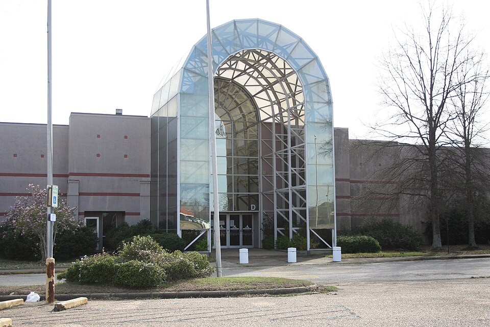 Montgomery MallMontgomery, AL · 2012Partial Regreened · Reinhabited · Partial reinhabitation: education, 2017 Partial regreening: sports,…Brookwood VillageHomewood, ALStatus not verified
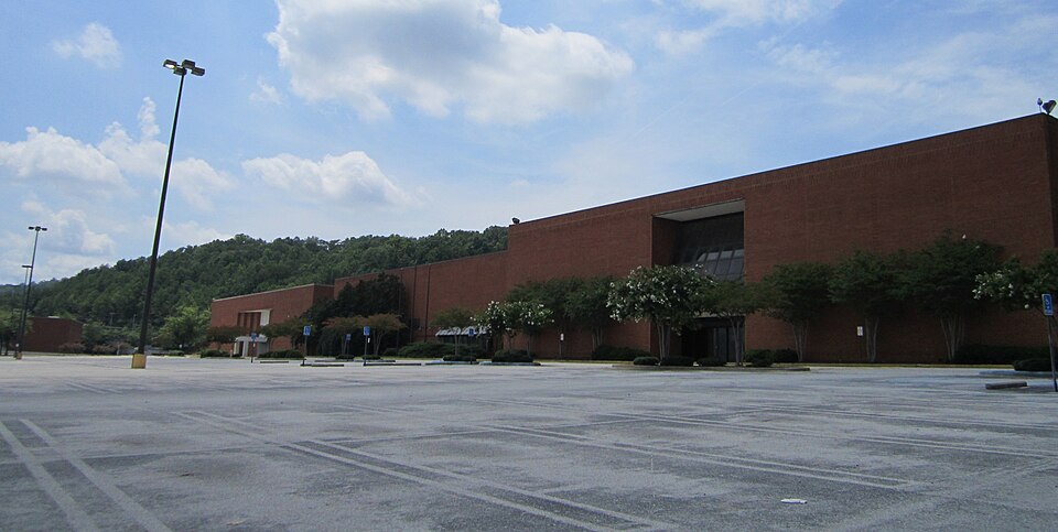 Century PlazaBirmingham, AL · 2020Redeveloped · Amazon logistics facilityHeart of Huntsville MallHuntsville, AL · 2007Redeveloped · As of August 2021, only the SpringHill Suites is finished and open…Jessop's RiversideSheffield, ALRedeveloped · office parkLarkway GardensBirmingham, ALRedevelopment, proposed