Malls · Missouri
Red Roof Mall
Partial Regreened in 2014. · from the fields below
Ask who owns this Download dossier (PDF) · early access Download record (JSON) API Share LinkedIn Correct this recordhttps://retrofitatlas.org/malls/mo/branson-red-roof-mall/
Solid = from the authors' map · outlined = public source · dashed = model-written, not yet reviewed by a person. Tap any value's source label to see where it came from.
Site profile1 elements · what this retrofit is built with · tap a chip for the evidence
Strategy
Regreened
This site: Partial regreening, baseball field record · all sites with thisFrom the authors' map
MO, Branson: Red Roof Mall, 2014
• Partial regreening, baseball field
Now
| Status | Partly retrofittedauthors' map |
|---|---|
| Strategy | Partial Regreenedauthors' map |
| What is there now | Partial regreening, baseball fieldauthors' map |
| Retrofit year | 2014authors' map |
Site context
| FEMA flood zone | X · AREA OF MINIMAL FLOOD HAZARDFEMA NFHL |
|---|---|
| EPA-regulated facilities within 500 m | 7: BALLPARKS OF AMERICA; CENTRE POINT SQUARE LOT 1; CRASH CHAMPIONS BRANSON; DISCOUNT CITY; ELEVATE BRANSONEPA FRS |
| Census tract 29213480106 | 2,520 people, 367 per sq mi; median household income $61,563; median gross rent $1,013; 49% renters; 33.8% vacant units; 0.0% commute by transitACS 2023 5-year |
| Walkability (EPA, block group) | index 7.8 of 20; 19 intersections per sq mi; no transit stop within the EPA search radius; land-use mix 0.87; 7,733 jobs within 45 min by car; 5% of households without a carEPA Smart Location |
| Within a 10–15 minute walk (800 m) | 2 of 6 daily needs: 0 grocers, 0 schools, 8 parks or playgrounds, 0 health, 0 civic, 11 food and drink; 0 cycleway segments, 0 sidewalk-tagged segmentsOpenStreetMap |
| Opportunity Zone | noHUD |
| Housing permits, Taney County (MO), 2024 | 50 units in 5+ unit buildings, 0 in 2–4, 273 single-family; 2023: 40 in 5+Census BPS |
| Social vulnerability (CDC SVI 2022, tract) | overall percentile 0.60; socioeconomic 0.52; housing and transport 0.62; 35% below 150% of poverty; 3% of households with no vehicleCDC/ATSDR |
| Overture Maps | no place match; building footprint 7,623 m², 6.291346073150635 mOverture (CDLA-Permissive 2.0) |
| Tract change 2013–2023 | population +10% (2,297 → 2,520); median income +59% ($38,653 → $61,563); renters 66% → 49%; median home value +30% ($170,000 → $221,800)Census ACS 5-year |
| Natural hazard risk (FEMA National Risk Index, tract) | relatively low overall (score 45.5); expected annual loss $1.6M; high: winter weather, ice storm; community resilience relatively lowFEMA NRI |
| Tax-credit housing within 1 km | noneHUD LIHTC |
| Retail trade in the county, 2012 to 2023 | 383 establishments (-7%); 4,785 jobs (-2%)Census CBP |
| Housing market in the county | typical home value $245,474 (-1% 1 yr, +20% 5 yr); typical rent $1,344/mo (+4% 1 yr), 2026-09Zillow Research |
| House price index, tract, 2025 | 234 (2000 = 100); +16.3% 1 yr, +54% 5 yr, +95% 10 yrFHFA |
| Traffic on the busiest road within 600 m (2024) | 5,088 vehicles a day on GRETNA RD (major collector, 4 lanes); 4 counted segmentsFHWA HPMS |
Similar sites
- Crestwood Court, Crestwood, MO · Malls · same strategy: regreen; also in MO
- Highland Mall, Austin, TX · Malls · same strategy: regreen
- Midtown Plaza, Rochester, NY · Malls · same strategy: regreen
- Montgomery Mall, Montgomery, AL · Malls · same strategy: regreen
Elsewhere on the web
Pages with photos
- Former Factory Merchants (Red Roof) Mall in Branson, Mo youtube.com
- Factory Merchants (Red Roof Mall) Branson Missou… reddit.com
- Red Roof Mall : Robbins Properties® robbins-properties.com
Search images: Google · Bing · Commons · references: ULI case studies · Google Scholar
Multifamily screen
- retrofit already built
- county grew 3.0% 2018–23
Inputs: record fields (size, status) and county Census ACS 2018–2023 figures (growth, rent). How the points work. Not a recommendation.
History and original facts
| County | Taney County |
|---|---|
| Census division | 4 · West North Central |
Not yet recorded: acres, GLA, year opened, original developer. Know it? Tell us.
Timeline
- 2014 Retrofit: regreen
Sources
More in Missouri
Antioch Center MallKansas City, MO · 2013Redeveloped · Redevelopment: office and residential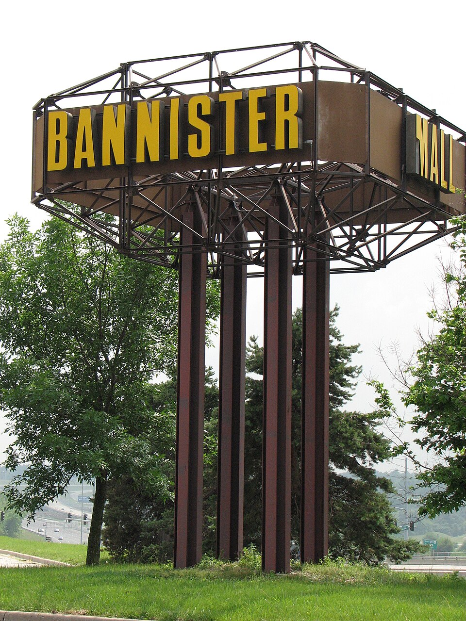 Bannister MallKansas City, MO · 2014Redeveloped · Redevelopment: officeNorthwest Plaza MallSt Anns, MO · 2013Partial Redeveloped · Reinhabited · Partial redevelopment: demolition and new retail Partial…ArmorySt. Louis, MOReinhabitation, proposed · high end office spaceBellerive Country ClubBellerive Acres, MORedeveloped · University of Missouri–St. LouisBlue Ridge MallKansas City, MORedeveloped · Blue Ridge Crossing is a shopping center located near Interstate 70…