Malls · Illinois
Megamall
Redeveloped in 2015. · from the fields below
Ask who owns this Download dossier (PDF) · early access Download record (JSON) API Share LinkedIn Correct this recordhttps://retrofitatlas.org/malls/il/chicago-megamall/
Solid = from the authors' map · outlined = public source · dashed = model-written, not yet reviewed by a person. Tap any value's source label to see where it came from.
Site profile19 elements · what this retrofit is built with · tap a chip for the evidence
Place
100k+ jobs within 45 min by transit
This site: 782,411 epa-walkability · all sites with this15-minute neighbourhood (5+ of 6 daily needs within 800 m)
This site: 6/6 openstreetmap · all sites with this200+ tax-credit housing units within 1 km
This site: 405 units in 7 properties hud-lihtc · all sites with this3+ other atlas sites within 10 km
This site: 15 within 10 km computed · all sites with thisBike network nearby
This site: 181 ways openstreetmap · all sites with thisCounty lost 10%+ of retail establishments since 2012
This site: -11% census-cbp · all sites with thisCounty permitting 2,000+ apartment units a year
This site: 4,853 units, Cook County census-bps · all sites with thisCounty typical rent $2,000+
This site: $2,228/mo zillow · all sites with thisGrocery within 800 m
This site: 13 stores openstreetmap · all sites with thisHigh-income tract ($100k+)
This site: $107,857 census-acs · all sites with thisLow social vulnerability tract (SVI ≤ 0.25)
This site: 0.24 cdc-svi · all sites with thisRail within 800 m
This site: Logan Square openstreetmap · all sites with thisRenter-majority tract
This site: 61% census-acs · all sites with thisShrinking county
This site: -0.7% census-acs · all sites with thisTract income up 60%+ since 2013
This site: +102% census-acs · all sites with thisWalkable block group (EPA ≥ 12)
This site: …index 15.7 epa-walkability · all sites with thisStrategy
Redeveloped
This site: Redevelopment: residential mixed-use record · all sites with thisNew use
Housing
This site: Redevelopment: residential mixed-use arcgis-webmap · all sites with thisMixed use
This site: Redevelopment: residential mixed-use arcgis-webmap · all sites with thisFrom the authors' map
IL, Chicago: Megamall/Logan Apartments, 2015
• Redevelopment: residential mixed-use
Now
| Status | Retrofit builtderived from authors' map (retrofit year present) |
|---|---|
| Strategy | Redevelopedauthors' map |
| What is there now | Redevelopment: residential mixed-useauthors' map |
| Retrofit year | 2015authors' map |
Site context
| Transit within 800 m | Logan Square (rail); 10 bus stops within 400 mOpenStreetMap |
|---|---|
| Motorway junctions within 2 km | 45B, 45C, 46A, 46BOpenStreetMap |
| FEMA flood zone | X · AREA OF MINIMAL FLOOD HAZARDFEMA NFHL |
| EPA-regulated facilities within 500 m | 14: ABCO SCREENPRINT CO INC; ARBY GRAPHIC SERVICE; AUTO CLUTCH & PARTS; BABYS PERFECT DIAPER SERVICE; CITGOEPA FRS |
| Census tract 17031220500 | 2,955 people, 22,159 per sq mi; median household income $107,857; median gross rent $2,032; 61% renters; 6.5% vacant units; 28.5% commute by transitACS 2023 5-year |
| Walkability (EPA, block group) | index 15.7 of 20; 256 intersections per sq mi; nearest transit stop 303 m; land-use mix 0.58; 536,584 jobs within 45 min by car, 782,411 by transit; 28% of households without a carEPA Smart Location |
| Within a 10–15 minute walk (800 m) | 6 of 6 daily needs: 13 grocers, 3 schools, 32 parks or playgrounds, 9 health, 17 civic, 112 food and drink; 181 cycleway segments, 499 sidewalk-tagged segmentsOpenStreetMap |
| Opportunity Zone | noHUD |
| Housing permits, Cook County (IL), 2024 | 4,853 units in 5+ unit buildings, 512 in 2–4, 1,142 single-family; 2023: 3,332 in 5+Census BPS |
| Social vulnerability (CDC SVI 2022, tract) | overall percentile 0.24; socioeconomic 0.36; housing and transport 0.26; 16% below 150% of poverty; 21% of households with no vehicleCDC/ATSDR |
| Other atlas sites nearby | 15 within 10 km, 26 within 25 km: 1800 N. Clybourn (4.4 km); Former Sears department store (5.2 km); Cabrini–Green Homes (6.0 km); BP Gas Station at 1647 N. LaSalle Drive (6.0 km); Shell Gas Station at 130 W. North Ave. (6.1 km)computed |
| Overture Maps | no place match; building footprint 4,328 m²Overture (CDLA-Permissive 2.0) |
| Tract change 2013–2023 | population +8% (2,731 → 2,955); median income +102% ($53,468 → $107,857); renters 60% → 61%; median home value +51% ($380,400 → $573,100)Census ACS 5-year |
| Natural hazard risk (FEMA National Risk Index, tract) | relatively low overall (score 23.0); expected annual loss $1.2M; high: cold wave; community resilience relatively highFEMA NRI |
| Tax-credit housing within 1 km | 7 LIHTC properties, 405 units: Palmer Square Apts (160 units); Lorington Apts Preservation (54 units); Lorington Apts (54 units)HUD LIHTC |
| Retail trade in the county, 2012 to 2023 | 13,577 establishments (-11%); 214,575 jobs (-4%)Census CBP |
| Housing market in the county | typical home value $340,258 (+6% 1 yr, +23% 5 yr); typical rent $2,228/mo (+5% 1 yr), 2026-09Zillow Research |
| House price index, tract, 2025 | 468 (2000 = 100), +39% 5 yr, +86% 10 yrFHFA |
| Traffic on the busiest road within 600 m (2024) | 24,601 vehicles a day on Fullerton Ave (minor arterial, 4 lanes); 14 counted segmentsFHWA HPMS |
Similar sites
- Randhurst Mall, Mount Prospect, IL · Malls · same strategy: redevelop; also in IL; 26 km away
- Former Sears department store, Chicago, IL · Big boxes · same strategy: redevelop; also in IL; 5 km away
- Illinois Brick Company's yard 22, Blue Island, IL · Industrial sites · same strategy: redevelop; also in IL; 30 km away
- St Charles Mall, St Charles, IL · Malls · same strategy: redevelop; also in IL
Elsewhere on the web
Pages with photos
- Megamall Transformed Into Street Art For Its Last Days In Logan Square ... dnainfo.com
- Massive Megamall Site Developers Poised To Start E… medium.com
- Mall of America owner puts megamall on the line for mass… chicagotribune.com
- Home | Discount Mall | Discount Megamall discountmallchicago.com
- Onde fica o shopping SM Megamall? - Ond… ondefica.dicasblogger.com.br
- Destination: Megamall nbcnews.com
- SM MEGAMALL - All You SHOULD Know Before You G… tripadvisor.com.sg
Search images: Google · Bing · Commons · references: ULI case studies · Google Scholar
Multifamily screen
- retrofit already built
Inputs: record fields (size, status) and county Census ACS 2018–2023 figures (growth, rent). How the points work. Not a recommendation.
History and original facts
| Now called / also known as | Logan Apartments |
|---|---|
| County | Cook County |
| Census division | 3 · East North Central |
Not yet recorded: acres, GLA, year opened, original developer. Know it? Tell us.
Timeline
- 2015 Retrofit: redevelop
Sources
More in Illinois
Forest Park MallForest Park, IL · 1997Reinhabited · Reinhabitation: retail and religious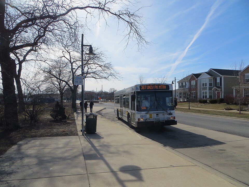 Park Forest PlazaPark Forest, IL · 2001Partial Redeveloped · Partial redevelopment: civic, residential, new streets
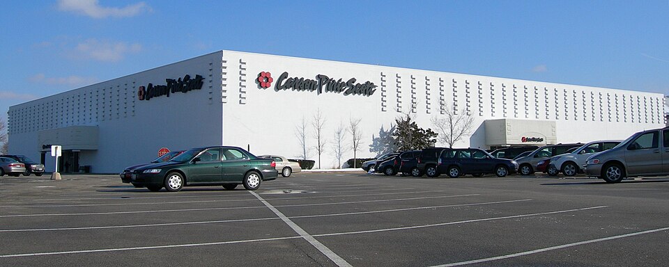 Randhurst MallMount Prospect, IL · 2010Redeveloped · Redevelopment: mixed use, new streets
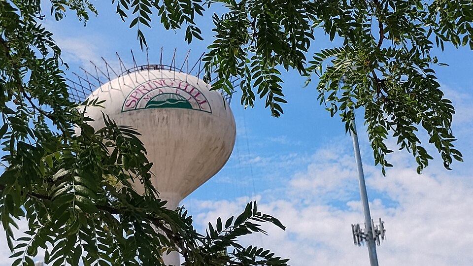 Spring Hill MallWest Dundee, IL · 2015Partial Redeveloped · Partial redevelopment, open air streetSt Charles MallSt Charles, IL · 2016Redeveloped · Redevelopment: residential, new streets
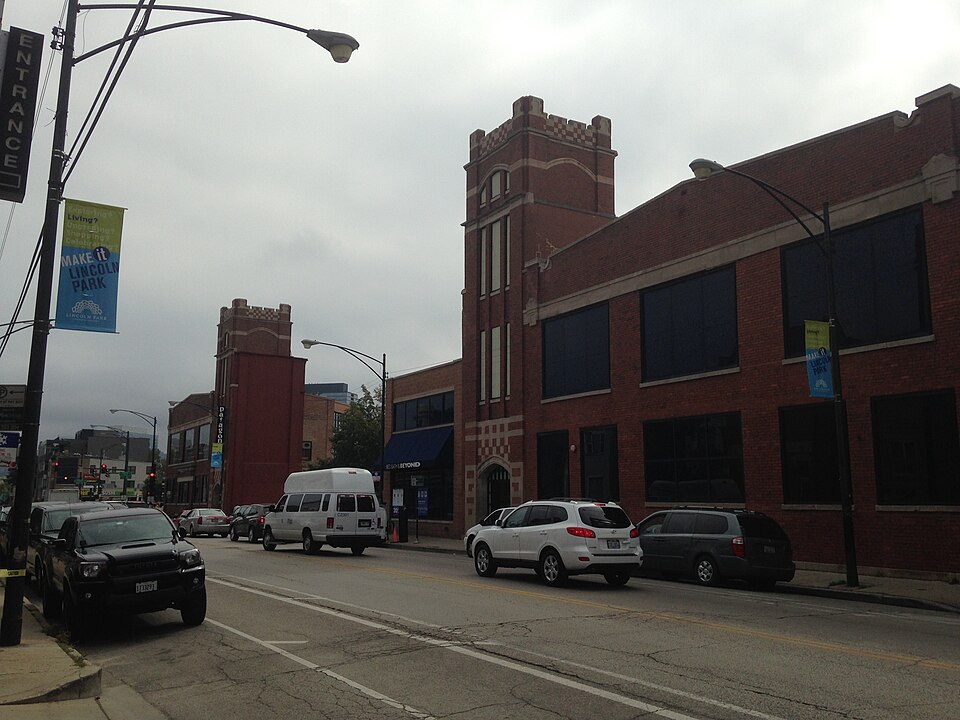 1800 N. ClybournChicago, ILReinhabited · As of 2015, one large L-shaped building houses anchor Bed Bath &…
Park Forest PlazaPark Forest, IL · 2001Partial Redeveloped · Partial redevelopment: civic, residential, new streetsRandhurst MallMount Prospect, IL · 2010Redeveloped · Redevelopment: mixed use, new streetsSpring Hill MallWest Dundee, IL · 2015Partial Redeveloped · Partial redevelopment, open air streetSt Charles MallSt Charles, IL · 2016Redeveloped · Redevelopment: residential, new streets1800 N. ClybournChicago, ILReinhabited · As of 2015, one large L-shaped building houses anchor Bed Bath &…