Malls · Oklahoma
Crossroads Mall (Oklahoma City)
Opened 1974. Closed 2017. Reinhabited · Redeveloped.
Solid = from the authors' map · outlined = public source · dashed = model-written, not yet reviewed by a person. Tap any value's source label to see where it came from.
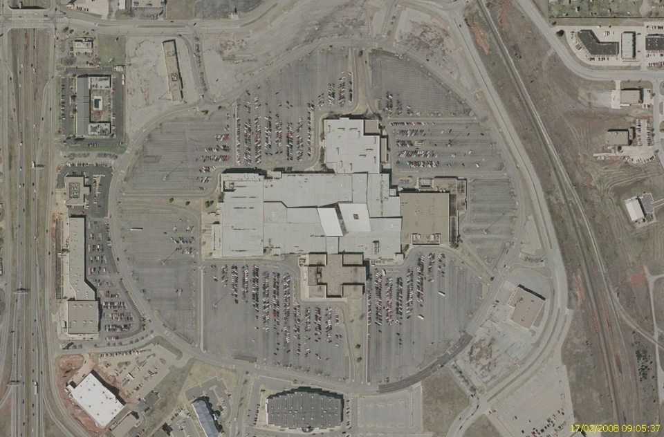
Site profile22 elements · what this retrofit is built with · tap a chip for the evidence
Dillard's
This site: Dillard's wikipedia · all sites with thisJCPenney
This site: JCPenney wikipedia · all sites with thisMacy's
This site: Macy's wikipedia · all sites with thisMontgomery Ward
This site: Montgomery Ward wikipedia · all sites with thisWebsite dead or redirecting
This site: …http://www.marriott.com/hotels/travel/okcst-fairfield-inn-oklahoma-city-south-cr overture / http check · all sites with thisSingle-purpose entity
This site: Raptor Properties, LLC county-parcels · all sites with thisHigh heat wave risk
This site: Relatively High fema-nri · all sites with thisHigh social vulnerability tract (SVI ≥ 0.75)
This site: 0.97 cdc-svi · all sites with thisHigh tornado risk
This site: Relatively High fema-nri · all sites with thisInterstate or freeway within 600 m
This site: E I-240 SERVICE RD fhwa-hpms · all sites with thisLower-income tract (< $50k)
This site: $49,946 census-acs · all sites with thisOpportunity Zone
This site: 40109107303 hud-oz · all sites with thisWalkable block group (EPA ≥ 12)
This site: …index 16 epa-walkability · all sites with this1M+ sq ft GLA
This site: 1,175,047 sq ft esri-closed-us-malls-2014 · all sites with thisBuilding footprint 50,000+ m²
This site: 60,967 m² overture · all sites with thisRedeveloped
This site: As of 2021, the mall is home to, in the former Montgomery Wards store, “Santa Fe South High School” for students and the former JCPenney is being used for a… extraction · all sites with thisReinhabited
This site: As of 2021, the mall is home to, in the former Montgomery Wards store, “Santa Fe South High School” for students and the former JCPenney is being used for a… extraction · all sites with thisCivic and government
This site: …new_use field extraction · all sites with thisEducation
This site: in the former Montgomery Wards store, “Santa Fe South High School” for students and the former JCPenney is being used for a s extraction · all sites with thisEntertainment and sports
This site: …new_use field extraction · all sites with thisLogistics and industrial
This site: …new_use field extraction · all sites with thisRetail (continued)
This site: …new_use field extraction · all sites with thisNow
| Status | Closedextracted, unreviewed |
|---|---|
| Strategy | Reinhabited · Redevelopedextracted, unreviewed |
| New uses | education, retail, civic, industrial, entertainmentextracted, unreviewed |
| What is there now | As of 2021, the mall is home to, in the former Montgomery Wards store, “Santa Fe South High School” for students and the former JCPenney is being used for a shop called “Crossroads Antiques & Collections”.extracted, unreviewed |
Securitised debt and public filers
Filings (2001 to date) that name “Crossroads Mall” and “Oklahoma City” (153 hits, first 100 sampled, 8 other filers such as tenants left out). No commercial-mortgage trust names this mall in the sample, which does not rule out a securitised loan. Text matches, not a title search. Open the search · all trusts.
| Kind | Filer | Filings | Dates | Forms |
|---|---|---|---|---|
| Public owner (weak) | SIMON PROPERTY GROUP INC /DE/ (SPG, SPG-PJ) | 48 | 2002-08-09 to 2010-02-25 | 8-K 32, 10-K 15, 8-K/A 1 |
| Public owner (weak) | MACERICH CO (MAC) | 16 | 2001-03-29 to 2009-05-27 | 10-K 9, 10-Q 4, 8-K 2, 10-K/A 1 |
| Public owner (weak) | SIMON PROPERTY GROUP L P /DE/ | 13 | 2003-03-31 to 2010-03-12 | 10-K 13 |
| Public owner (weak) | GENERAL GROWTH PROPERTIES INC | 1 | 2001-03-19 to 2001-03-19 | 10-K 1 |
Site context
| FEMA flood zone | no NFHL polygon at point (unmapped or outside coverage)FEMA NFHL |
|---|---|
| EPA-regulated facilities within 500 m | 3: DILLARDS CROSSROADS MALL; FORMER ONE HOUR MOTO PHOTO; MONTGOMERY WARD-CROSSROADSEPA FRS |
| Census tract 40109107303 | 1,269 people, 278 per sq mi; median household income $49,946; median gross rent $899; 45% renters; 20.1% vacant units; 0.0% commute by transitACS 2023 5-year |
| Walkability (EPA, block group) | index 16 of 20; 84 intersections per sq mi; nearest transit stop 581 m; land-use mix 0.94; 86,532 jobs within 45 min by car, 19,428 by transit; 10% of households without a carEPA Smart Location |
| Within a 10–15 minute walk (800 m) | 2 of 6 daily needs: 0 grocers, 1 schools, 0 parks or playgrounds, 0 health, 0 civic, 3 food and drink; 0 cycleway segments, 8 sidewalk-tagged segmentsOpenStreetMap |
| Opportunity Zone | yes, tract 40109107303 (rural)HUD |
| Housing permits, Oklahoma County (OK), 2024 | 1,248 units in 5+ unit buildings, 385 in 2–4, 4,531 single-family; 2023: 363 in 5+Census BPS |
| Social vulnerability (CDC SVI 2022, tract) | overall percentile 0.97; socioeconomic 0.96; housing and transport 0.90; 51% below 150% of poverty; 13% of households with no vehicleCDC/ATSDR |
| Other atlas sites nearby | 0 within 10 km, 2 within 25 kmcomputed |
| Overture Maps | place Fairfield Inn Oklahoma City South/Crossroads Mall (hotel, confidence 0.98, from Microsoft, Overture); building footprint 60,967 m²Overture (CDLA-Permissive 2.0) |
| Website and social | www.marriott.com (down or redirecting, status 404)Overture / Internet Archive |
| Attention: Wikipedia page views | 68,637 since 2015; 6,002 in the last 12 months (-24% vs the prior 12); peak 2022-07 with 1,906Wikimedia |
| Tract change 2013–2023 | population -23% (1,652 → 1,269); median income +39% ($35,893 → $49,946); renters 41% → 45%; median home value +95% ($24,600 → $47,900)Census ACS 5-year |
| Natural hazard risk (FEMA National Risk Index, tract) | relatively low overall (score 53.1); expected annual loss $996,768; high: tornado, heat wave, hail, ice storm; community resilience relatively lowFEMA NRI |
| Tax-credit housing within 1 km | noneHUD LIHTC |
| Retail trade in the county, 2012 to 2023 | 2,946 establishments (+1%); 49,251 jobs (+17%)Census CBP |
| Housing market in the county | typical home value $221,970 (+0% 1 yr, +21% 5 yr); typical rent $1,341/mo (+3% 1 yr), 2026-09Zillow Research |
| Traffic on the busiest road within 600 m (2024) | 9,300 vehicles a day on E I-240 SERVICE RD (Interstate, 1 lanes); 16 counted segmentsFHWA HPMS |
Summary, model-written
Crossroads Mall opened in 1974 as a super‑regional shopping center. After losing its Montgomery Ward anchor in 2001 and experiencing financial distress that led to a 2009 foreclosure, the mall closed in 2017. Since closure, the former Montgomery Wards building houses Santa Fe South High School and the former JCPenney operates as Crossroads Antiques & Collections, while ownership has shifted through several entities to the current Crossroads Renewal Project.
Why. The record shows anchor loss (Montgomery Ward closing in 2001) and financial distress leading to a 2009 foreclosure as visible causes of the mall’s decline.
Where it stands. The mall remains closed as a retail venue, with anchor spaces repurposed, and is currently controlled by Crossroads Renewal Project (owner since 2025).
For a planner
- Strategy noted: reinhabit and redevelop with proposed new uses of education, retail, civic, industrial, and entertainment.
- Policy tools or incentives applied are not specified in the record.
- Open questions include timing and details of the renewal plan, compatibility of proposed mixes, and any required zoning or entitlement actions.
For a developer
- Site size: approximately 1,175,047 sq ft GLA (peak 140 stores).
- Current control: Crossroads Renewal Project (owner from 2025 onward).
- Entitlement stage: not detailed in the record; only strategy of reinhabit/redevelop is mentioned.
- No explicit constraints (flood, transit, environment) are cited in the record.
- Market signals: opportunity score 40, driven by large vacant GLA and closed/demolished status.
What we do not know yet
- Verified status is 'draft', indicating the record may not be fully reviewed.
- Missing details on zoning, permits, or entitlement approvals for any redevelopment.
- No information on site-specific constraints such as flood risk, transit access, or environmental conditions.
- Unclear terms and duration of the current school and antiques leases in the anchor spaces.
- Future plans and financial capacity of Crossroads Renewal Project are not described.
Generated by nvidia/nemotron-3-super-120b-a12b on NVIDIA API via Hermes CT from the fields, parcels, deals and context layers on this page, with no outside knowledge. It is regenerated when the record changes and has not been checked by a person. How it is made.
Similar sites
- Highland Mall, Austin, TX · Malls · similar GLA (1,116,000 sq ft); opened 1971; closed 2015
- Lincoln Mall, Matteson, IL · Malls · similar GLA (990,000 sq ft); opened 1973; closed 2015
- San Jacinto Mall, Baytown, TX · Malls · similar GLA (1,156,000 sq ft); opened 1981; closed 2020
- Six Flags Mall, Arlington, TX · Malls · similar GLA (1,049,000 sq ft); opened 1970; closed 2016
Elsewhere on the web
Retail history: Crossroads Mall on DeadMalls.com photos, field notes and visitor memories since 2000; matched by name and city; nothing copied here
Pages with photos
- Crossroads Mall, once home to Jeff Lowe's tiger petting zoo, s… oklahoman.com
- !!DEADMALL!! Crossroads Mall in Oklahoma City. youtube.com
- Destiny Mall labelscar.com
- Crossroads Mall gets yet another lease on life... - The Lost Ogle thelostogle.com
- Abandoned Crossroads Mall Oklahoma – TJHA network.nadshealthykitchen.com
- Crossroads Mall Oklahoma City … fity.club

Search images: Google · Bing · Commons · references: ULI case studies · Google Scholar
Multifamily screen
- closed or demolished site (sourced)
- 1,175,047 sq ft GLA (large site)
Inputs: record fields (size, status) and county Census ACS 2018–2023 figures (growth, rent). How the points work. Not a recommendation.
History and original facts
| Opened | 1974Wikidata |
|---|---|
| Closed | 2017extracted, unreviewed |
| Gross leasable area | 1,175,047 sq ftEsri 2014 layer |
| Stores at peak | 140Esri 2014 layer |
| Architect | Architectonics, Inc. of Dallas and Phelps-Spitz-Ammerman-Thomas, Inc. of Oklahoma City |
| Anchors | Macy's, Dillard's, JCPenney, Regal Cinemas, Montgomery Ward, John A. Brown |
| Address | I-35 & I-240 |
| County | Oklahoma |
| Census division | 7 · West South Central |
| Notes | Wikipedia categories: Defunct shopping malls in the United States |
Not yet recorded: acres, original developer, retrofit year. Know it? Tell us.
Background
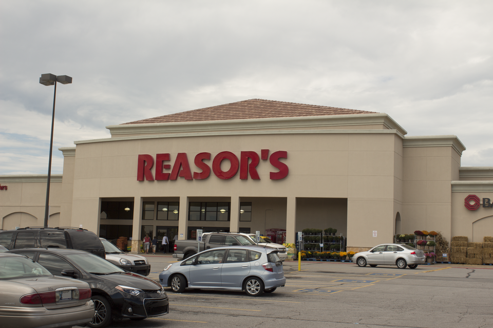
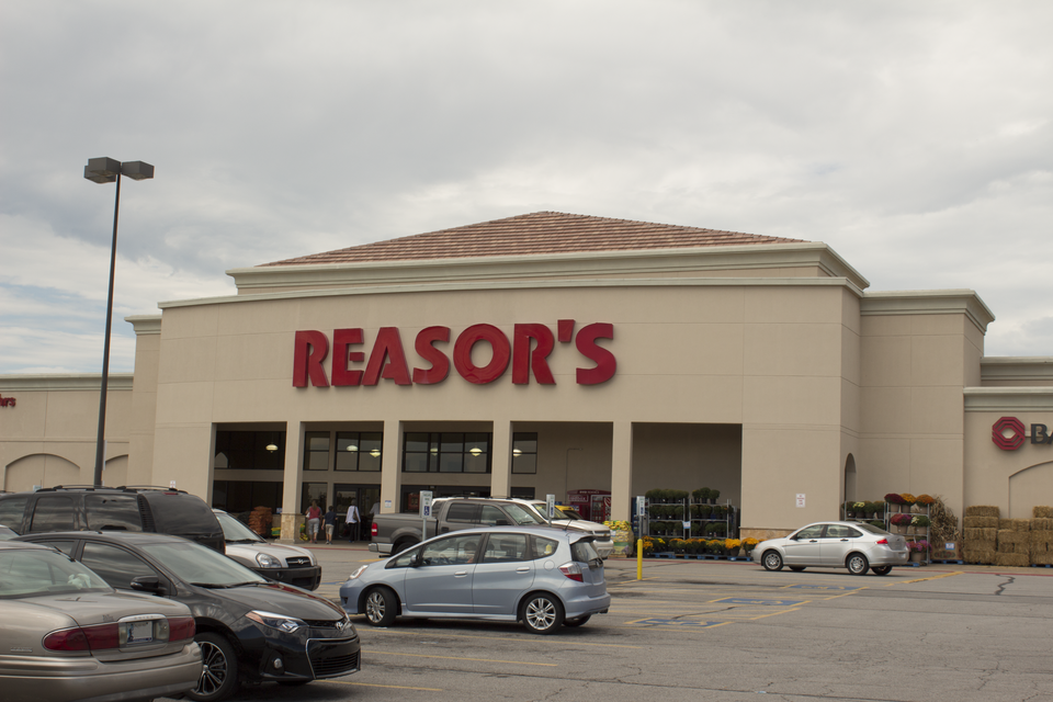
Crossroads Mall was a 1,268,000 sq ft (117,800 m2) super regional shopping mall and trade area located in south Oklahoma City, Oklahoma, United States.
Excerpt from Wikipedia (authors and history), CC BY-SA 4.0. May be older than the record above.
Timeline
- 1974 Opened (Wikidata)
- 1974 Mall opened
- 1974 John A. Brown store opened
- 2001 Montgomery Ward closed
- 2009 Property foreclosed, ownership transferred to Federal Reserve Bank of New York
- 2011 Sold to Raptor Properties, LLC
- 2013 Rebrand to Plaza Mayor announced
- 2017 Closure announced, set for Oct 31, 2017
- 2021 Sold to Linn's Crossroads Plaza LLC
- 2021 SFS DEVELOPMENT INC purchased former anchor spaces
- 2025 Sold to Crossroads Renewal Project
Sources
- found by hermes-web (staffboxfree) · supports: after notes, status, strategy, year closed
17 quoted sentences
would close it permanently on October 31, 2017
As of 2021, the mall is home to, in the former Montgomery Wards store, “Santa Fe South High School” for students and the former JCPenney is being used for a shop called “Crossroads Antiques & Collections”.
would close it permanently on October 31, 2017
In July 2021, it was announced that the mall was bought for $6 million by Linn's Crossroads Plaza LLC, with plans to repurpose the mall over the next year.
- Esri StoryMaps: Closed_US_Malls feature layer (2014) · 2014-10-02
More in Oklahoma
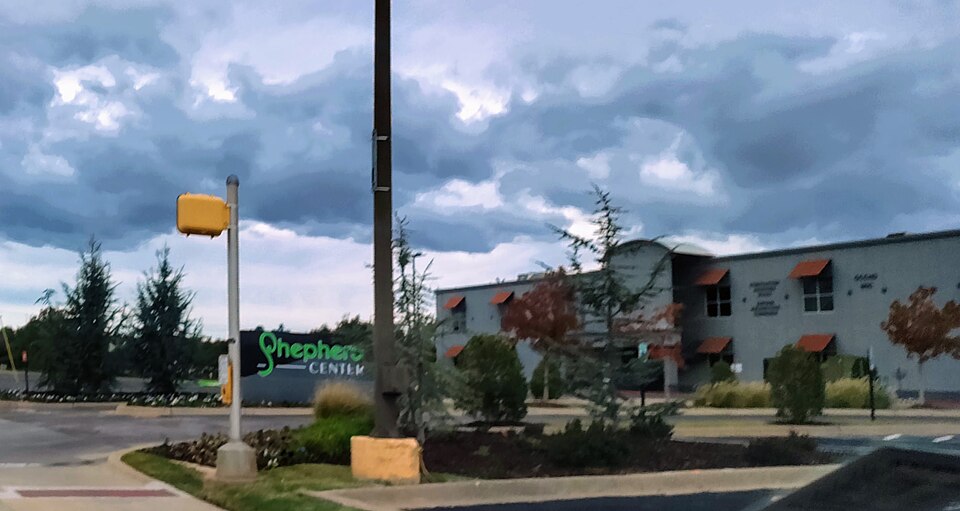 Shepherd MallOklahoma City, OK · 1995Reinhabited · Reinhabitation: government offices, education
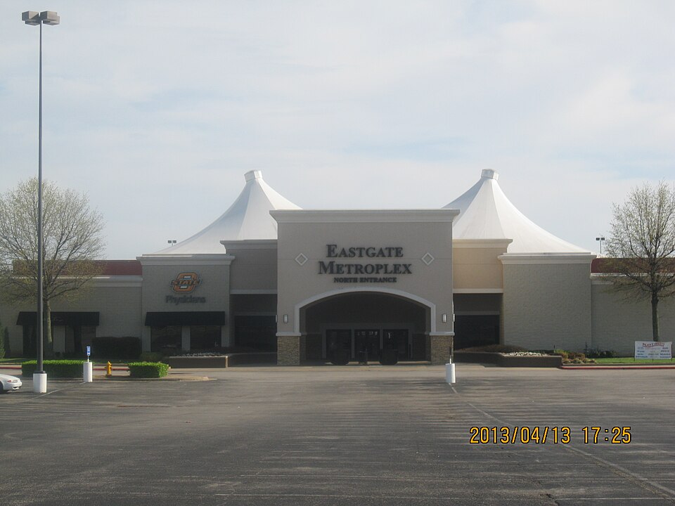 Eastland MallTulsa, OKRedeveloped · mixed-use professional/retail complex
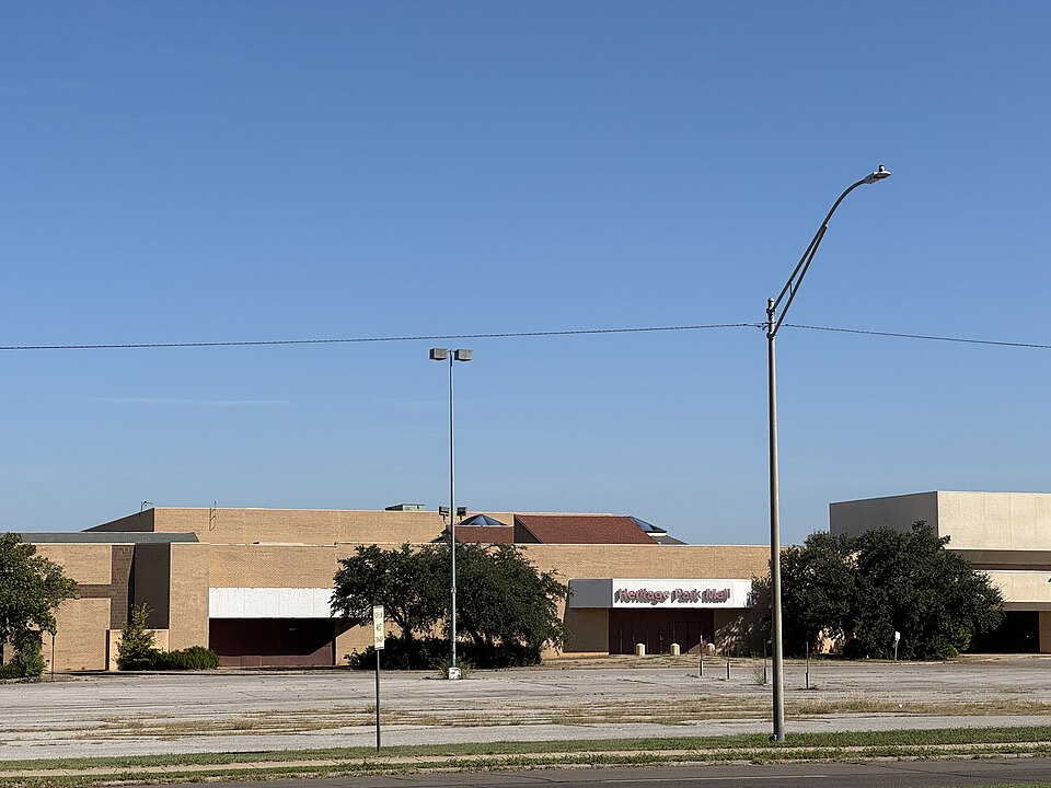 Heritage Park MallMidwest City, OKClosed
 Southland Shopping CenterTulsa, OKClosed
 Tulsa PromenadeTulsa, OKReinhabited · The businesses occupying the anchor buildings on the perimeter of the…