Other · Indiana
Lifeline Data Center
Reinhabited in 2013. · from the fields below
Solid = from the authors' map · outlined = public source · dashed = model-written, not yet reviewed by a person. Tap any value's source label to see where it came from.
Site profile14 elements · what this retrofit is built with · tap a chip for the evidence
JCPenney
This site: JCPenney wikipedia · all sites with this15-minute neighbourhood (5+ of 6 daily needs within 800 m)
This site: 6/6 openstreetmap · all sites with thisGrocery within 800 m
This site: 3 stores openstreetmap · all sites with thisHigh heat wave risk
This site: Relatively High fema-nri · all sites with thisHigh social vulnerability tract (SVI ≥ 0.75)
This site: 0.96 cdc-svi · all sites with thisHigh tornado risk
This site: Relatively High fema-nri · all sites with thisInterstate or freeway within 600 m
This site: SHADELAND AVE fhwa-hpms · all sites with thisLower-income tract (< $50k)
This site: $42,074 census-acs · all sites with thisRenter-majority tract
This site: 50% census-acs · all sites with thisTract house prices doubled in 10 years
This site: +128% fhfa · all sites with thisTract income flat or down since 2013
This site: +1% census-acs · all sites with thisWalkable block group (EPA ≥ 12)
This site: …index 13.8 epa-walkability · all sites with thisReinhabited
This site: Reinhabitation: solar data center record · all sites with thisData center
This site: Reinhabitation: solar data center arcgis-webmap · all sites with thisFrom the authors' map
Lifeline Data Center, Indianapolis, IN – data center
IN, Indianapolis: Eastgate Mall/Lifeline Data Center, 2013
• Reinhabitation: solar data center
Now
| Status | Retrofit builtderived from authors' map (retrofit year present) |
|---|---|
| Strategy | ReinhabitedWikidata |
| What is there now | Reinhabitation: solar data centerauthors' map |
| Retrofit year | 2013authors' map |
Site context
| FEMA flood zone | X · AREA OF MINIMAL FLOOD HAZARDFEMA NFHL |
|---|---|
| EPA-regulated facilities within 500 m | 11: BUILDERS SQUARE 1480; CALIBER COLLISION CENTER SHADELAND 2613; DOLLAR GENERAL STORE; EARL SCHEIB OF IND INC; EASTGATE CHRYSLER PLYMOUTH INCEPA FRS |
| Census tract 18097360602 | 6,523 people, 3,832 per sq mi; median household income $42,074; median gross rent $994; 50% renters; 5.5% vacant units; 5.4% commute by transitACS 2023 5-year |
| Walkability (EPA, block group) | index 13.8 of 20; 29 intersections per sq mi; nearest transit stop 594 m; land-use mix 0.89; 120,275 jobs within 45 min by car, 73,960 by transit; 9% of households without a carEPA Smart Location |
| Within a 10–15 minute walk (800 m) | 6 of 6 daily needs: 3 grocers, 1 schools, 4 parks or playgrounds, 4 health, 4 civic, 13 food and drink; 6 cycleway segments, 35 sidewalk-tagged segmentsOpenStreetMap |
| Opportunity Zone | noHUD |
| Housing permits, Marion County (IN), 2024 | 621 units in 5+ unit buildings, 32 in 2–4, 1,253 single-family; 2023: 1,457 in 5+Census BPS |
| Social vulnerability (CDC SVI 2022, tract) | overall percentile 0.96; socioeconomic 0.94; housing and transport 0.86; 38% below 150% of poverty; 13% of households with no vehicleCDC/ATSDR |
| Other atlas sites nearby | 2 within 10 km, 7 within 25 km: Indianapolis Stamping Plant site (9.9 km); Circle Centre Mall (10.0 km)computed |
| Overture Maps | no place match; building footprint 29,930 m², 5.784050941467285 mOverture (CDLA-Permissive 2.0) |
| Tract change 2013–2023 | population +6% (6,175 → 6,523); median income +1% ($41,587 → $42,074); renters 41% → 50%; median home value +51% ($103,600 → $156,400)Census ACS 5-year |
| Natural hazard risk (FEMA National Risk Index, tract) | relatively moderate overall (score 60.7); expected annual loss $1.2M; high: tornado, heat wave, cold wave; community resilience relatively lowFEMA NRI |
| Tax-credit housing within 1 km | noneHUD LIHTC |
| Retail trade in the county, 2012 to 2023 | 2,856 establishments (-4%); 45,527 jobs (-2%)Census CBP |
| Housing market in the county | typical home value $227,822 (-1% 1 yr, +20% 5 yr); typical rent $1,379/mo (+2% 1 yr), 2026-09Zillow Research |
| House price index, tract, 2025 | 321 (2000 = 100); +3.6% 1 yr, +58% 5 yr, +128% 10 yrFHFA |
| Traffic on the busiest road within 600 m (2024) | 22,176 vehicles a day on SHADELAND AVE (freeway or expressway, 4 lanes); 1,216 trucks; 25 counted segmentsFHWA HPMS |
Similar sites
- Kahn Tailoring Company building, Indianapolis, IN · Other · same strategy: reinhabit; also in IN; 10 km away
- Lockefield Gardens, Indianapolis, IN · Garden apartments · same strategy: reinhabit; also in IN; 11 km away
- Commons Mall, Columbus, IN · Malls · same strategy: reinhabit; also in IN
- Circle Centre Mall, Indianapolis, IN · Malls · same strategy: reinhabit; also in IN; 10 km away
Elsewhere on the web
Pages with photos
- Lifeline Data Center’s New Patented Technology – Inside INdiana Business insideindianabusiness.com
- Lifeline Data Centers | CMMC Compliance lifelinedatacenters.com
- Lifeline Data Centers to Install 4-MW System at Indianapoli… solarbuildermag.com
- Lifeline Data Centers - Eastgate - East Gate … foursquare.com
- Lifeline Data Centers Eastgate Data Center located in Indian… datacentercatalog.com
- Lifeline data centers Data Center Locations datacenters.com
Search images: Google · Bing · Commons · references: ULI case studies · Google Scholar
Multifamily screen
- retrofit already built
Inputs: record fields (size, status) and county Census ACS 2018–2023 figures (growth, rent). How the points work. Not a recommendation.
History and original facts
| Now called / also known as | Eastgate Mall, Eastgate Consumer Mall |
|---|---|
| Anchors | JCPenney |
| County | Marion County |
| Census division | 3 · East North Central |
| Notes | Map entry: Lifeline Data Center, Indianapolis, IN – data center |
Not yet recorded: acres, GLA, year opened, original developer. Know it? Tell us.
Background
Eastgate Consumer Mall, originally Eastgate Shopping Center, was a shopping mall located in Indianapolis, Indiana, United States, at the corner of Washington Street and Shadeland Avenue. It was originally an outdoor mall featuring Sears, JCPenney, and H. P. Wasson and Company; a re-development in 1981 changed it from a conventional shopping center to an outlet mall. After years of decline, the mall closed for business in 2004 and was re-purposed as industrial space.
Excerpt from Wikipedia (authors and history), CC BY-SA 4.0. May be older than the record above.
Timeline
- 2013 Retrofit: reinhabit
Sources
- Retrofitting Suburbia Interactive Mall Map (ArcGIS web map ce33ab26…) · 2021-01-20
- Wikipedia: Eastgate Consumer Mall · 2026-06-06 · CC BY-SA 4.0
More in Indiana
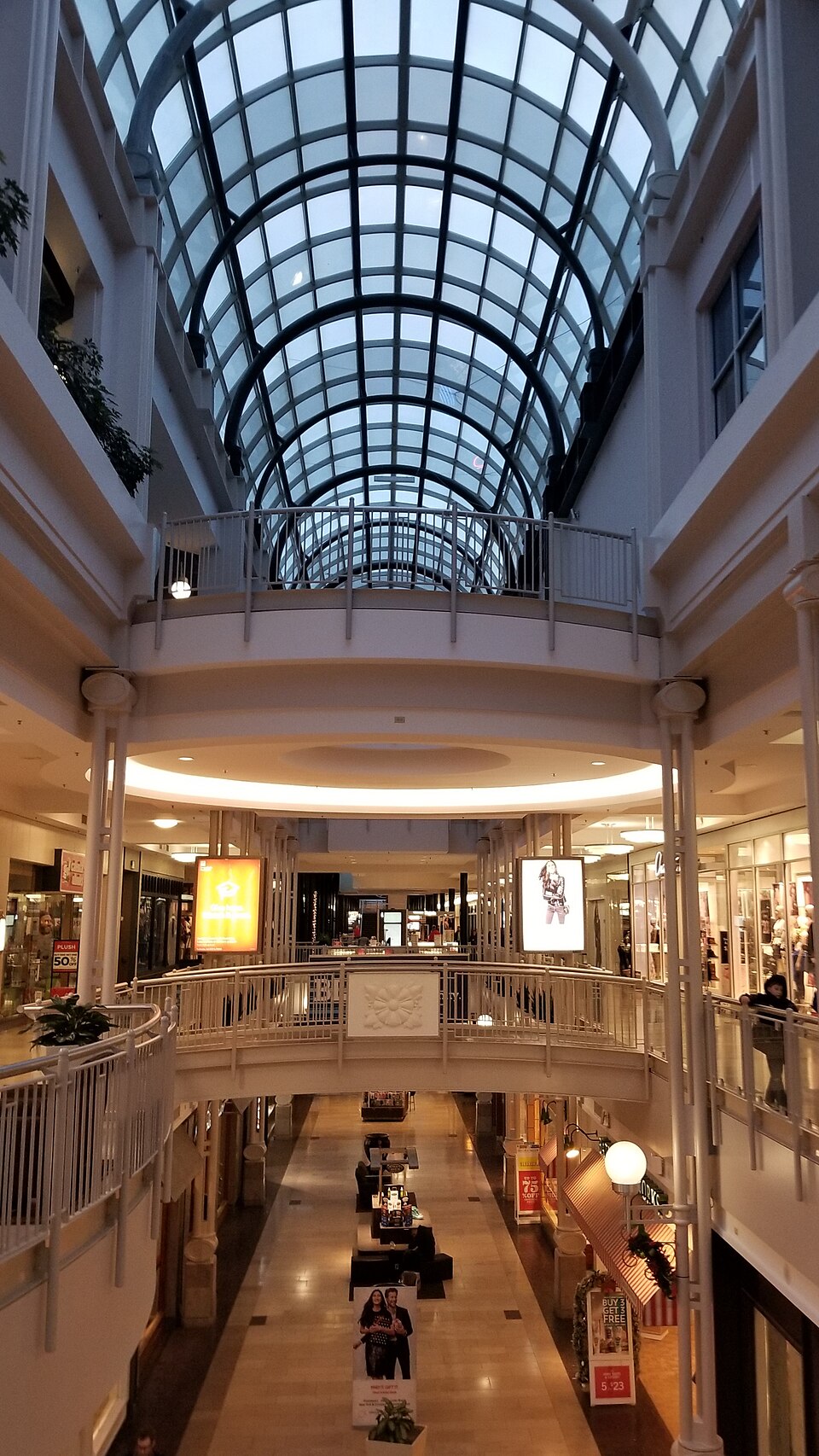 Circle Centre MallIndianapolis, IN · 2025Redeveloped · Reinhabited · redevelopment into a multi-use campus known as Traction Yards
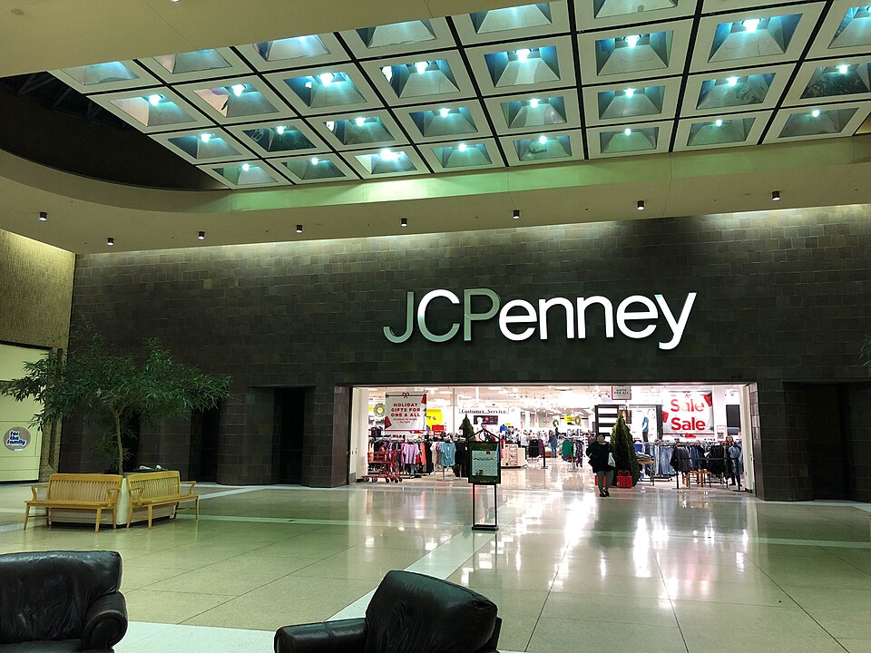 Concord MallElkhart, INRedeveloped