Malls · Indiana
Commons Mall
Reinhabited in 2009. · from the fields below
Solid = from the authors' map · outlined = public source · dashed = model-written, not yet reviewed by a person. Tap any value's source label to see where it came from. documented = a quoted excerpt (click to read it) · reported = a source named, no excerpt yet · no source.
Site profile16 elements · what this retrofit is built with · tap a chip for the evidence
On Facebook
This site: …https://www.facebook.com/187698264626224 overture · all sites with thisWebsite alive
This site: …http://www.thecommonscolumbus.com overture / http check · all sites with this15-minute neighbourhood (5+ of 6 daily needs within 800 m)
This site: 6/6 openstreetmap · all sites with this30,000+ vehicles a day on an adjacent road
This site: 39,560 on SR 46 fhwa-hpms · all sites with thisBike network nearby
This site: 27 ways openstreetmap · all sites with thisGrocery within 800 m
This site: 1 stores openstreetmap · all sites with thisHigh inland flooding risk
This site: Relatively High fema-nri · all sites with thisHigh natural hazard risk (FEMA NRI)
This site: Relatively High; tornado, inland flooding, winter weather fema-nri · all sites with thisHigh social vulnerability tract (SVI ≥ 0.75)
This site: 0.79 cdc-svi · all sites with thisHigh tornado risk
This site: Very High fema-nri · all sites with thisNational Register place within 500 m
This site: McEwen-Samuels-Marr House; Bartholomew County Courthouse nps-nrhp · all sites with thisRail within 800 m
This site: Columbus Transportation Hub openstreetmap · all sites with thisRenter-majority tract
This site: 74% census-acs · all sites with thisTract house prices doubled in 10 years
This site: +105% fhfa · all sites with thisTract income up 60%+ since 2013
This site: +62% census-acs · all sites with thisReinhabited
This site: Reinhabitation: community event space record · all sites with thisFrom the authors' map
IN, Columbus: Commons Mall/ The Commons, 2009
• Reinhabitation: community event space
Now
| Status | Retrofit builtderived from authors' map (retrofit year present) reported |
|---|---|
| Strategy | Reinhabitedauthors' map reported |
| What is there now | Reinhabitation: community event spaceauthors' map reported |
| Retrofit year | 2009authors' map reported |
Securitised debt and public filers
Filings (2001 to date) that name “Commons Mall” and “Columbus” (36 hits, first 36 sampled, 8 other filers such as tenants left out). No commercial-mortgage trust names this mall in the sample, which does not rule out a securitised loan. Text matches, not a title search. Open the search · all trusts.
| Kind | Filer | Filings | Dates | Forms |
|---|---|---|---|---|
| Public owner (weak) | ROUSE COMPANY | 9 | 2001-03-30 to 2006-04-18 | 10-K 8, 10-Q 1 |
| Public owner (weak) | GENERAL GROWTH PROPERTIES INC | 2 | 2005-03-22 to 2006-03-31 | 10-K 2 |
| Public owner (weak) | GLIMCHER REALTY TRUST | 2 | 2005-02-24 to 2005-04-28 | 8-K 2 |
Site context
| Transit within 800 m | Columbus Transportation Hub (rail)OpenStreetMap |
|---|---|
| Motorway junctions within 2 km | junctionOpenStreetMap |
| FEMA flood zone | X · AREA OF MINIMAL FLOOD HAZARDFEMA NFHL |
| EPA-regulated facilities within 500 m | 21: ARLINGTON PLATING CO CORP; BARTHOLOMEW COUNTY COURT SERVICES CENTER; COLUMBUS CITY OF 1821 TRAIL; COLUMBUS ENGINEERING INC; COLUMBUS ROAD CONSTRUCTIONEPA FRS |
| Census tract 18005010100 | 5,641 people, 2,890 per sq mi; median household income $60,399; median gross rent $1,150; 74% renters; 8.6% vacant units; 2.3% commute by transitACS 2023 5-year |
| Walkability (EPA, block group) | index 9.3 of 20; 105 intersections per sq mi; no transit stop within the EPA search radius; land-use mix 0.61; 22,850 jobs within 45 min by car; 15% of households without a carEPA Smart Location |
| Within a 10–15 minute walk (800 m) | 6 of 6 daily needs: 1 grocers, 2 schools, 11 parks or playgrounds, 2 health, 6 civic, 7 food and drink; 27 cycleway segments, 135 sidewalk-tagged segmentsOpenStreetMap |
| Opportunity Zone | noHUD |
| National Register places within 500 m | 6: McEwen-Samuels-Marr House; Bartholomew County Courthouse; Columbus City Hall; Haw Creek Leather CompanyNPS |
| Housing permits, Bartholomew County (IN), 2024 | 0 units in 5+ unit buildings, 12 in 2–4, 183 single-family; 2023: 0 in 5+Census BPS |
| Social vulnerability (CDC SVI 2022, tract) | overall percentile 0.79; socioeconomic 0.76; housing and transport 0.93; 39% below 150% of poverty; 15% of households with no vehicleCDC/ATSDR |
| Other atlas sites nearby | 1 within 10 km, 1 within 25 km: NexusPark (0.1 km)computed |
| Overture Maps | place Commons Mall (shopping_mall, confidence 0.92, from Overture, Overture-signals, meta); building footprint 8,773 m², 10.533737182617188 mOverture (CDLA-Permissive 2.0) |
| Website and social | www.thecommonscolumbus.com (alive); archived 2018–2026 (Wayback) · social: facebookOverture / Internet Archive |
| Tract change 2013–2023 | population +23% (4,588 → 5,641); median income +62% ($37,218 → $60,399); renters 69% → 74%; median home value +25% ($89,500 → $111,600)Census ACS 5-year |
| Natural hazard risk (FEMA National Risk Index, tract) | relatively high overall (score 86.0); expected annual loss $3.3M; high: tornado, inland flooding, winter weather; community resilience relatively highFEMA NRI |
| Tax-credit housing within 1 km | 1 LIHTC properties, 25 units: Armory - 2 (25 units)HUD LIHTC |
| Retail trade in the county, 2025 (BLS QCEW) | 4,860 jobs in 300 establishments; average annual pay $34,045; employment location quotient 0.99; employment +0.6% on the yearBLS QCEW 2025, NAICS 44-45, private |
| Jobs located in the tract, 2022 | 15,520 jobs; 267 in retail trade, 559 in accommodation and food (workplace blocks summed to tract 18005010100)Census LEHD LODES8 WAC 2022 |
| Upward mobility (Opportunity Atlas, 2010 tract) | children of low-income (25th percentile) families reached the 34th income percentile as adults; 5.5% incarcerated at the 2010 count (831 children in the sample); born 1978–83, measured 2014–15Opportunity Insights |
| Food access (USDA FARA 2019, 2010 tract) | low-income, low-access tract (1 mile urban / 10 miles rural); 20% of residents more than 1 mile from a supermarket; poverty rate 23.5%; median family income $45,884; 351 SNAP householdsUSDA ERS |
| Schools | Bartholomew County School Corporation (PK-12); 3 public schools within 1 mile: Central Middle School; CSA Lincoln Campus; Richard L Johnson Early Educ CntrNCES EDGE |
| Elevation | 628 ft above sea level at the site pointUSGS 3DEP |
| Storm events in the county, 2016-2025 | 63 county-logged events: 41 thunderstorm wind, 8 hail, 7 flash flood, 5 flood; $3,307,200 property damage reported; 2 direct deaths; forecast-zone events (most flood, winter and heat) not countedNOAA Storm Events |
| Homes for sale in ZIP 47201, 2026-09 | median list price $294,945 (-6.7% on the year); 170 active listings; median 45 days on market; 23% with a price cutRealtor.com Research |
| Retail trade in the county, 2012 to 2023 | 286 establishments (-8%); 4,861 jobs (+2%)Census CBP |
| Housing market in the county | typical home value $274,111 (+2% 1 yr, +30% 5 yr); typical rent $1,380/mo (+2% 1 yr), 2026-09Zillow Research |
| House price index, tract, 2025 | 474 (2000 = 100); -0.4% 1 yr, +55% 5 yr, +105% 10 yrFHFA |
| Traffic on the busiest road within 600 m (2024) | 39,560 vehicles a day on SR 46 (principal arterial, 4 lanes); 1,530 trucks; 37 counted segmentsFHWA HPMS |
Similar sites
- NexusPark, Columbus, IN · Malls · same strategy: reinhabit; also in IN; 0 km away
- Lifeline Data Center, Indianapolis, IN · Other · same strategy: reinhabit; also in IN
- 100 Oaks Mall, Nashville, TN · Malls · same strategy: reinhabit
- Buford Clairmont Mall, Chamblee, GA · Malls · same strategy: reinhabit
Elsewhere on the web
Pages with photos
- Columbus Indiana - The Commons - Historic Architectur… flickriver.com
- Week 22 (The Commons: part 1) | 52 weeks of Columbus, Indiana 52weeks.rickyberkey.org
- The Commons - Columbus, Indiana Photograph by Susan Ri… fineartamerica.com
- Image Gallery: The Commons, Cesar Pelli, Columbus, Indiana tboake.com
- The Commons Mall, in downtown Columbus Indiana… alamy.com
- The Commons – Community event center in Columbus, Indiana thecommonscolumbus.com
- The Commons is a Free Indoor Playground in Columbus (with a two-story ... littleindiana.com
Search images: Google · Bing · Commons · references: ULI case studies · Google Scholar
Multifamily screen
- retrofit already built
Inputs: record fields (size, status) and county Census ACS 2018–2023 figures (growth, rent). How the points work. Not a recommendation.
History and original facts
| Now called / also known as | The Commons |
|---|---|
| County | Bartholomew County |
| Census division | 3 · East North Central |
Not yet recorded: acres, GLA, year opened, original developer. Know it? Tell us.
Timeline
- 2009 Retrofit: reinhabit
Sources
More in Indiana
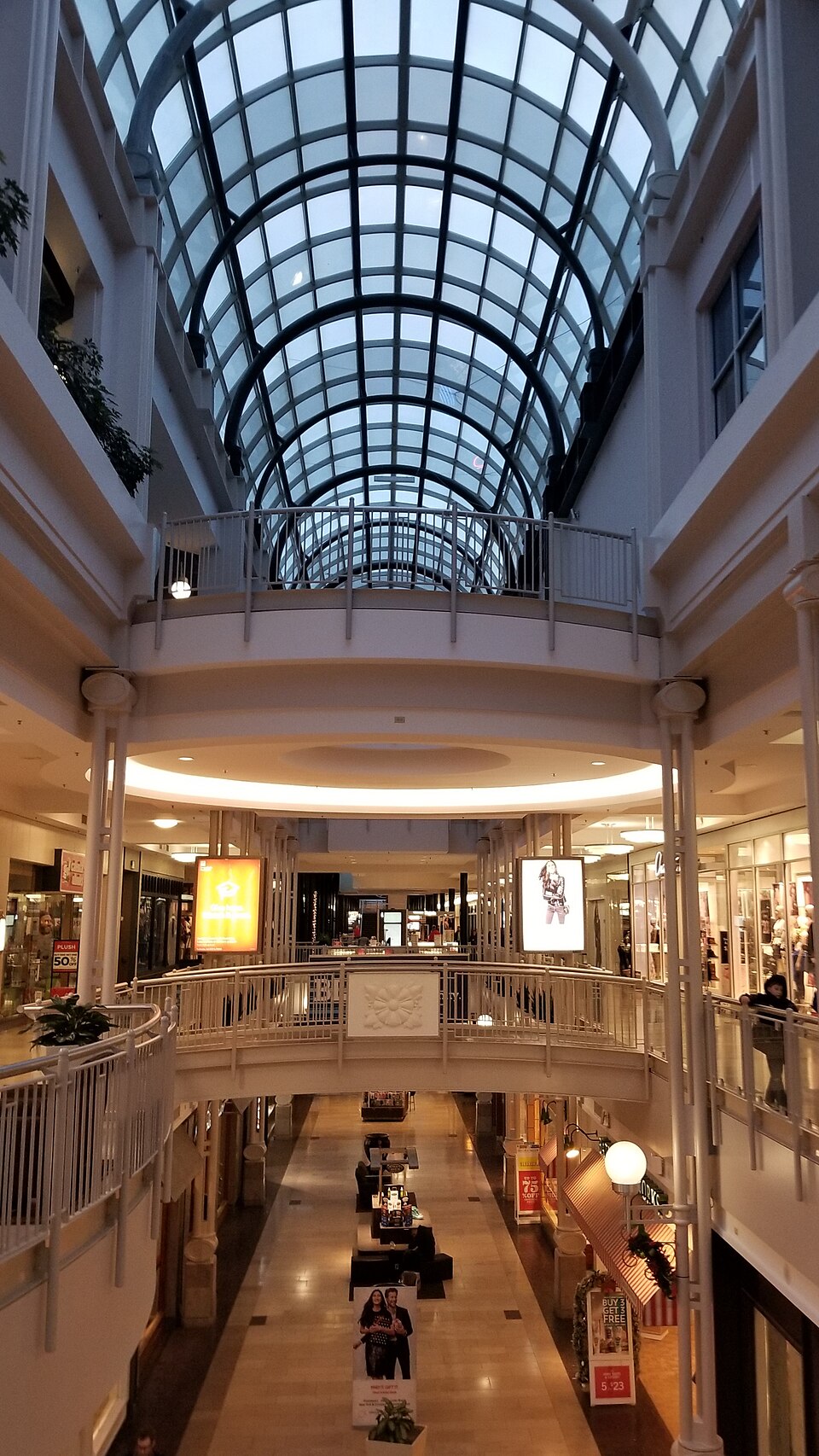 Circle Centre MallIndianapolis, IN · 2025Redeveloped · Reinhabited · redevelopment into a multi-use campus known as Traction Yards
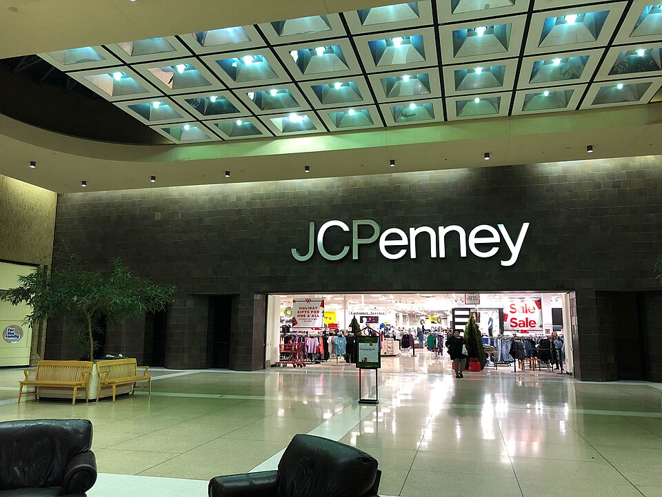 Concord MallElkhart, INRedeveloped