Malls · Illinois
Dixie Square Mall
Opened 1966. Closed 2012. Redeveloped · Regreened in 2012.
Solid = from the authors' map · outlined = public source · dashed = model-written, not yet reviewed by a person. Tap any value's source label to see where it came from.
Site profile23 elements · what this retrofit is built with · tap a chip for the evidence
JCPenney
This site: JCPenney wikipedia · all sites with thisMontgomery Ward
This site: Montgomery Ward wikipedia · all sites with thisWoolworth
This site: Woolworth wikipedia · all sites with thisHigh attention (20k+ Wikipedia views a year)
This site: 28,825 wikimedia · all sites with thisPublic body
This site: Harvey-Dixmoor School District county-parcels · all sites with this15-minute neighbourhood (5+ of 6 daily needs within 800 m)
This site: 6/6 openstreetmap · all sites with thisCounty lost 10%+ of retail establishments since 2012
This site: -11% census-cbp · all sites with thisCounty permitting 2,000+ apartment units a year
This site: 4,853 units, Cook County census-bps · all sites with thisCounty typical rent $2,000+
This site: $2,228/mo zillow · all sites with thisGrocery within 800 m
This site: 3 stores openstreetmap · all sites with thisHigh heat wave risk
This site: Relatively High fema-nri · all sites with thisHigh inland flooding risk
This site: Relatively High fema-nri · all sites with thisHigh natural hazard risk (FEMA NRI)
This site: Relatively High; tornado, inland flooding, heat wave, cold wave fema-nri · all sites with thisHigh social vulnerability tract (SVI ≥ 0.75)
This site: 0.99 cdc-svi · all sites with thisHigh tornado risk
This site: Relatively High fema-nri · all sites with thisLower-income tract (< $50k)
This site: $34,492 census-acs · all sites with thisOpportunity Zone
This site: 17031827400 hud-oz · all sites with thisShrinking county
This site: -0.7% census-acs · all sites with thisWalkable block group (EPA ≥ 12)
This site: …index 16.5 epa-walkability · all sites with thisRedeveloped
This site: …brownfield land, cold storage warehouse extraction · all sites with thisRegreened
This site: …brownfield land, cold storage warehouse extraction · all sites with thisLogistics and industrial
This site: …brownfield land, cold storage warehouse extraction · all sites with thisMixed use
This site: …new_use field extraction · all sites with thisNow
| Status | Demolishedextracted, unreviewed |
|---|---|
| Strategy | Redeveloped · Regreenedextracted, unreviewed |
| New uses | mixed, industrialextracted, unreviewed |
| What is there now | brownfield land, cold storage warehouseextracted, unreviewed |
| Retrofit year | 2012extracted, unreviewed |
| Redeveloper | MG Development South LLCextracted, unreviewed |
Planning
| Zoning change | intermodal freightextracted, unreviewed |
|---|---|
| Entitlement year | 2015extracted, unreviewed |
Deals and debt
| Date | Event | Price | Parties | Source |
|---|---|---|---|---|
| 2016 | Sold | — | city of Harvey ← John Deneen | Wikipedia |
| 2010 | Sold | $4.0M closed | MG Development South LLC ← John Deneen | Wikipedia |
| 2006 | Sold | — | John Deneen ← Harvey-Dixmoor School District | Wikipedia |
Site context
| Transit within 800 m | no rail station; 2 bus stops within 400 mOpenStreetMap |
|---|---|
| Motorway junctions within 2 km | 349A, 349B, 350, 6AOpenStreetMap |
| FEMA flood zone | no NFHL polygon at point (unmapped or outside coverage)FEMA NFHL |
| EPA-regulated facilities within 500 m | 7: CLARK SERVICE STATION; DUNBAR ARMORED; HARVEY AUTO MALL; MARATHON, QUICK GAS & MINIMART; MCDONAGH DEMOLITION INCEPA FRS |
| Census tract 17031827400 | 2,935 people, 2,669 per sq mi; median household income $34,492; 44% renters; 28.6% vacant units; 2.0% commute by transitACS 2023 5-year |
| Walkability (EPA, block group) | index 16.5 of 20; 129 intersections per sq mi; no transit stop within the EPA search radius; land-use mix 0.67; 224,970 jobs within 45 min by car, 34,562 by transit; 35% of households without a carEPA Smart Location |
| Within a 10–15 minute walk (800 m) | 6 of 6 daily needs: 3 grocers, 2 schools, 5 parks or playgrounds, 1 health, 6 civic, 2 food and drink; 1 cycleway segments, 54 sidewalk-tagged segmentsOpenStreetMap |
| Opportunity Zone | yes, tract 17031827400 (rural)HUD |
| Housing permits, Cook County (IL), 2024 | 4,853 units in 5+ unit buildings, 512 in 2–4, 1,142 single-family; 2023: 3,332 in 5+Census BPS |
| Social vulnerability (CDC SVI 2022, tract) | overall percentile 0.99; socioeconomic 0.92; housing and transport 0.99; 43% below 150% of poverty; 19% of households with no vehicleCDC/ATSDR |
| Other atlas sites nearby | 1 within 10 km, 11 within 25 km: Illinois Brick Company's yard 22 (5.0 km)computed |
| Overture Maps | no place match; building footprint 4,597 m², 4.1 mOverture (CDLA-Permissive 2.0) |
| Attention: Wikipedia page views | 505,108 since 2015; 28,825 in the last 12 months (-14% vs the prior 12); peak 2015-09 with 36,934Wikimedia |
| Tract change 2013–2023 | population -33% (4,399 → 2,935); median income +18% ($29,095 → $34,492); renters 63% → 44%; median home value +18% ($88,000 → $104,200)Census ACS 5-year |
| Natural hazard risk (FEMA National Risk Index, tract) | relatively high overall (score 87.6); expected annual loss $2.4M; high: tornado, inland flooding, heat wave, cold wave; community resilience relatively highFEMA NRI |
| Tax-credit housing within 1 km | 1 LIHTC properties, 41 units: Varylin Terrace Apts (41 units)HUD LIHTC |
| Retail trade in the county, 2012 to 2023 | 13,577 establishments (-11%); 214,575 jobs (-4%)Census CBP |
| Housing market in the county | typical home value $340,258 (+6% 1 yr, +23% 5 yr); typical rent $2,228/mo (+5% 1 yr), 2026-09Zillow Research |
| House price index, tract, 2024 | 159 (2000 = 100)FHFA |
| Traffic on the busiest road within 600 m (2024) | 14,842 vehicles a day on Dixie Hwy (principal arterial, 4 lanes); 1,150 trucks; 10 counted segmentsFHWA HPMS |
Summary, model-written
Dixie Square Mall opened in 1966 with anchors Montgomery Ward, JCPenney, Woolworth, Walgreens and Jewel, but closed permanently in 1978 due to high vacancy and low patronage. After closure it saw temporary use as a school, a movie set, and then years of abandonment before demolition in 2012. The site was later redeveloped as brownfield land hosting a cold‑storage warehouse, with the city of Harvey acquiring the property in 2016.
Why. The record cites high vacancy rates and low patronage as the reasons for the mall’s closure, compounded by subsequent neglect and vandalism. No explicit anchor loss, competition, or debt factors are mentioned.
Where it stands. The mall is demolished; the site is now brownfield land with a cold‑storage warehouse, controlled by the city of Harvey following its 2016 purchase from John Deneen.
For a planner
- Early example of a dead mall that transitioned through temporary civic and cultural uses before demolition.
- Zoning was changed to intermodal freight and an entitlement was granted in 2015 under a redevelop/regreen strategy.
- Open questions include the extent of environmental remediation needed, flood‑plain considerations, and transit access for future reuse.
For a developer
- Site size is not specified in the record.
- Control lies with the city of Harvey; entitlement was secured in 2015.
- Context‑layer constraints (flood, transit, environment) are not provided, so they are unknown.
- Market signals are weak: opp_score 0.0 with reasons noting the retrofit is already built, the site is closed/demolished, and housing is present in the record.
What we do not know yet
- Exact parcel dimensions and current building footprint are missing.
- Flood‑zone status, transit proximity, and environmental contamination details are not in the record.
- Post‑2016 ownership details beyond the city of Harvey are unspecified.
- The record is marked as 'draft' verified, indicating possible unreviewed or model‑extracted fields.
Generated by nvidia/nemotron-3-super-120b-a12b on NVIDIA API via Hermes CT from the fields, parcels, deals and context layers on this page, with no outside knowledge. It is regenerated when the record changes and has not been checked by a person. How it is made.
Similar sites
- Lincoln Mall, Matteson, IL · Malls · opened 1973; closed 2015; same strategy: redevelop
- Cape Cod Factory Outlet Mall, Bourne, MA · Malls · opened 1972; closed 2011; same strategy: redevelop
- Ford City Mall, Chicago, IL · Malls · opened 1965; same strategy: redevelop; also in IL
- Indian Mall, Jonesboro, AR · Malls · opened 1968; closed 2008; same strategy: redevelop
Elsewhere on the web
Pages with photos
- Dixie Square Mall Time Capsule Dixie Square Mall 1/11/2009 fity.club
- Dixie Square Mall - Harvey, Illinois flickr.com
- Dixie Square Mall: an Abandoned Shopping Mall in Harvey, IL opacity.us
- Dixie Square Mall - Wikipedia en.wikipedia.org
- Dixie Square Mall 1966 ar.inspiredpencil.com
- Abandoned Mall With Water sometimes-interesting.com
- Dixie Square Mall | Ghosts of Retailers' pa… ghosts-of-retailers-past.fandom.com
Search images: Google · Bing · Commons · references: ULI case studies · Google Scholar
Multifamily screen
- retrofit already built
- closed or demolished site (sourced)
- housing in the record
Inputs: record fields (size, status) and county Census ACS 2018–2023 figures (growth, rent). How the points work. Not a recommendation.
History and original facts
| Opened | 1966Wikidata |
|---|---|
| Closed | 2012Wikidata |
| Original developer | Robert Meyer Corporation, Meyer C. Weiner, Robert E. Fryling, T. C. MacDonaldextracted, unreviewed |
| Architect | Hornbach, Steenwyk, and Thrall |
| Anchors | JCPenney, Montgomery Ward, Walgreens, Woolworth, Jewel |
| County | Cook County |
| Census division | 3 · East North Central |
| Notes | Wikipedia categories: Demolished shopping malls in the United States |
Not yet recorded: acres, GLA. Know it? Tell us.
Background
Dixie Square Mall, formally the Dixie Square Shopping Center, was an enclosed shopping mall at the junction of 151st Street and Dixie Highway in the Chicago suburb of Harvey, Illinois, United States. Opened in 1966, the mall featured Montgomery Ward, JCPenney, Woolworth, Walgreens, and Jewel as its anchor stores, with discount store Turn Style joining in 1970. The mall was in operation for twelve years, closing permanently in 1978. It is thus considered an early example of a dead mall; it was characterized by high vacancy rates and low patronage, which led to its closure. While many other dead malls were redeveloped or demolished, Dixie Square became notable for its extensive neglect, vandalism damage, and history. After closure, the mall was used for a scene in the film The Blues Brothers and then left abandoned. It achieved notoriety because of a growing Internet cult-following of urban exploration groups dedicated to covering the mall's deteriorating condition.
Excerpt from Wikipedia (authors and history), CC BY-SA 4.0. May be older than the record above.
Timeline
- 1966 Opened (Wikidata)
- 1966 opened
- 1978 closed
- 1979 temporary school
- 2012 Closed (Wikidata)
- 2012 demolition
Sources
- Wikipedia: Dixie Square Mall · supports: after notes, original developer, status, strategy, zoning change
10 quoted sentences
developed by Robert Meyer Corporation...
The vast majority of the former site is now brownfield land...
final demolition was completed in May of that year
November 2015 article suggested...
More in Illinois
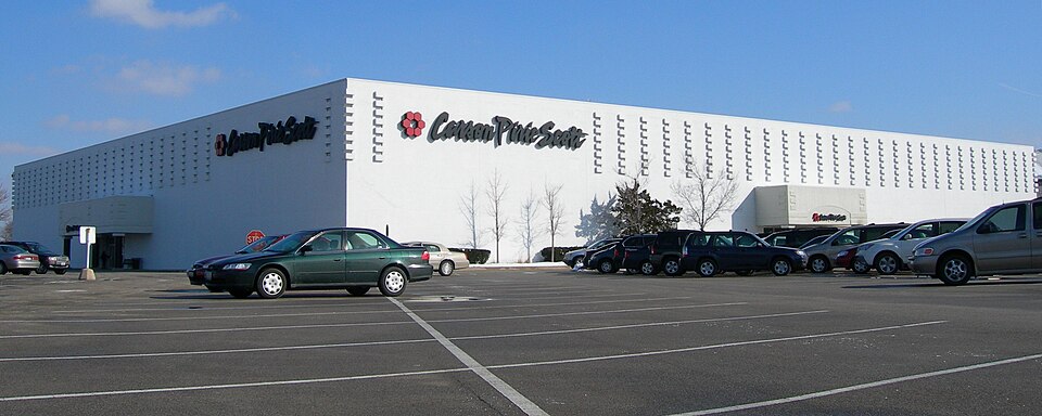
 Forest Park MallForest Park, IL · 1997Reinhabited · Reinhabitation: retail and religious
 MegamallChicago, IL · 2015Redeveloped · Redevelopment: residential mixed-use
 Park Forest PlazaPark Forest, IL · 2001Partial Redeveloped · Partial redevelopment: civic, residential, new streets
 Randhurst MallMount Prospect, IL · 2010Redeveloped · Redevelopment: mixed use, new streets
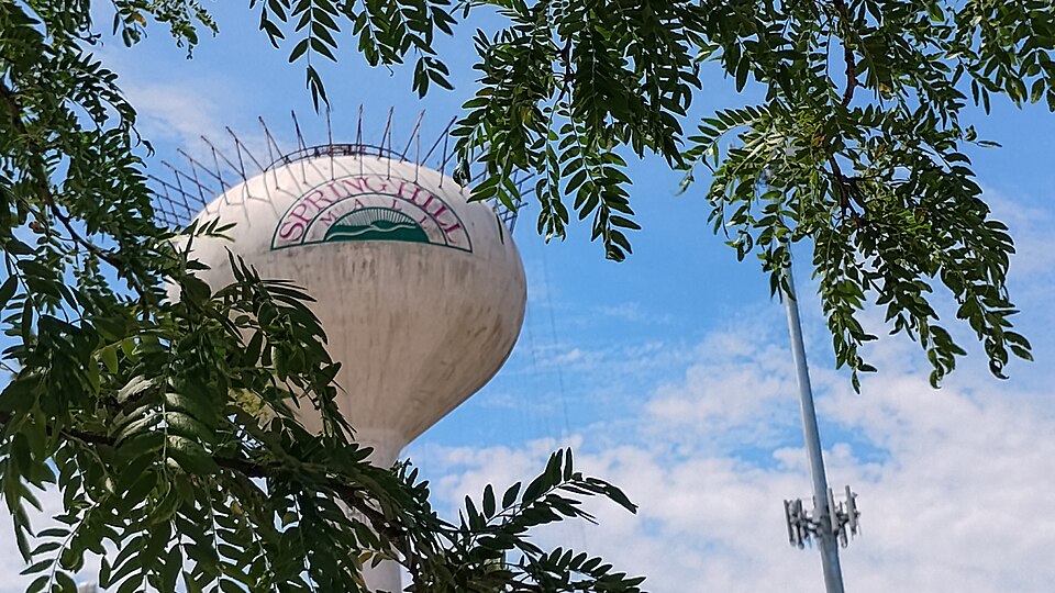 Spring Hill MallWest Dundee, IL · 2015Partial Redeveloped · Partial redevelopment, open air streetSt Charles MallSt Charles, IL · 2016Redeveloped · Redevelopment: residential, new streets