Malls · Massachusetts
Assembly Mall
Partial Redeveloped in 2012. · from the fields below
Solid = from the authors' map · outlined = public source · dashed = model-written, not yet reviewed by a person. Tap any value's source label to see where it came from.
Site profile17 elements · what this retrofit is built with · tap a chip for the evidence
On Facebook
This site: …https://www.facebook.com/167675709923072 overture · all sites with thisWebsite alive
This site: …http://www.assemblyrow.com overture / http check · all sites with this15-minute neighbourhood (5+ of 6 daily needs within 800 m)
This site: 6/6 openstreetmap · all sites with this3+ other atlas sites within 10 km
This site: 8 within 10 km computed · all sites with this30,000+ vehicles a day on an adjacent road
This site: 168,627 on 93 fhwa-hpms · all sites with thisBike network nearby
This site: 156 ways openstreetmap · all sites with thisCounty lost 10%+ of retail establishments since 2012
This site: -10% census-cbp · all sites with thisCounty permitting 2,000+ apartment units a year
This site: 2,440 units, Middlesex County census-bps · all sites with thisCounty typical rent $2,000+
This site: $3,069/mo zillow · all sites with thisGrocery within 800 m
This site: 5 stores openstreetmap · all sites with thisHigh-income tract ($100k+)
This site: $139,688 census-acs · all sites with thisInterstate or freeway within 600 m
This site: 93 fhwa-hpms · all sites with thisLow social vulnerability tract (SVI ≤ 0.25)
This site: 0.19 cdc-svi · all sites with thisOpportunity Zone
This site: 25017350103 hud-oz · all sites with thisRenter-majority tract
This site: 94% census-acs · all sites with thisRedeveloped
This site: Partial redevelopment, mixed use record · all sites with thisMixed use
This site: Partial redevelopment, mixed use arcgis-webmap · all sites with thisFrom the authors' map
MA, Somerville: Assembly Mall/ Assembly Row, 2012
• Partial redevelopment, mixed use
Now
| Status | Partly retrofittedauthors' map |
|---|---|
| Strategy | Partial RedevelopedWikipedia |
| What is there now | Partial redevelopment, mixed useauthors' map |
| Retrofit year | 2012authors' map |
Site context
| FEMA flood zone | no NFHL polygon at point (unmapped or outside coverage)FEMA NFHL |
|---|---|
| EPA-regulated facilities within 500 m | 35: 74 MIDDLESEX AVE; ALTA XMBLY; ASSEMBLY ROW - BLOCK 5; ASSEMBLY ROW - BLOCK 5; ASSEMBLY ROW AT ASSEMBLY SQUARE BLOCK 7AEPA FRS |
| Census tract 25017350106 | 2,165 people, 8,344 per sq mi; median household income $139,688; median gross rent $3,433; 94% renters; 1.2% vacant units; 29.2% commute by transitACS 2023 5-year |
| Within a 10–15 minute walk (800 m) | 6 of 6 daily needs: 5 grocers, 1 schools, 54 parks or playgrounds, 6 health, 3 civic, 40 food and drink; 156 cycleway segments, 401 sidewalk-tagged segmentsOpenStreetMap |
| Opportunity Zone | yes, tract 25017350103 (rural)HUD |
| Housing permits, Middlesex County (MA), 2024 | 2,440 units in 5+ unit buildings, 166 in 2–4, 889 single-family; 2023: 2,902 in 5+Census BPS |
| Social vulnerability (CDC SVI 2022, tract) | overall percentile 0.19; socioeconomic 0.18; housing and transport 0.69; 11% below 150% of poverty; 22% of households with no vehicleCDC/ATSDR |
| Other atlas sites nearby | 8 within 10 km, 21 within 25 km: A&P food-storage and bakery warehouse (1.7 km); 15 Court Square (4.3 km); Orchard Gardens (4.3 km); Filene's landmark flagship store (4.3 km); 85 Devonshire St. (4.4 km)computed |
| Overture Maps | place Assembly Row (shopping_mall, confidence 0.95, from Overture, Overture-signals, meta); building footprint 5,475 m², 18.017271041870117 mOverture (CDLA-Permissive 2.0) |
| Website and social | www.assemblyrow.com (alive) · social: facebookOverture / Internet Archive |
| Attention: Wikipedia page views | 110,838 since 2015; 7,141 in the last 12 months (-18% vs the prior 12); peak 2016-10 with 1,796Wikimedia |
| Tract change 2013–2023 | tract boundary changed between the 2010 and 2020 census; no 2013 comparisonCensus ACS |
| Natural hazard risk (FEMA National Risk Index, tract) | very low overall (score 0.8); expected annual loss $189,702; community resilience very highFEMA NRI |
| Tax-credit housing within 1 km | 3 LIHTC properties, 84 units: St Polycarp Iii (31 units); St Polycarp Ii (29 units); St Polycarp I (24 units)HUD LIHTC |
| Retail trade in the county, 2012 to 2023 | 4,650 establishments (-10%); 79,115 jobs (-5%)Census CBP |
| Housing market in the county | typical home value $804,837 (+2% 1 yr, +22% 5 yr); typical rent $3,069/mo (+2% 1 yr), 2026-09Zillow Research |
| Traffic on the busiest road within 600 m (2024) | 168,627 vehicles a day on 93 (Interstate, 7 lanes); 10,259 trucks; 23 counted segmentsFHWA HPMS |
Similar sites
- Nouvelle at Natick, Natick, MA · Malls · same strategy: redevelop; also in MA; 27 km away
- Lafayette Place Mall, Boston, MA · Malls · same strategy: redevelop; also in MA; 5 km away
- Arsenal Mall, Watertown, MA · Malls · same strategy: redevelop; also in MA; 7 km away
- Cambridge Discovery Park, Cambridge, MA · Office parks · same strategy: redevelop; also in MA; 6 km away
Elsewhere on the web
Pages with photos
- Assembly Row - You'll find it all on The Row assemblyrow.com
- ASSEMBLY ROW - All You SHOULD Know Before Going 2026 (with Photos) - Tripadvisor tripadvisor.in
- Staples Assembly Square Mall Somerville Ma at Dwayne Cars… storage.googleapis.com
- Lawrence Massachusetts Travel Inspiration purewander.com
- Assembly Row Shopping shop.cometoboston.com
- Assembly Row- Shopping Malls in Boston thebostondaybook.com
Search images: Google · Bing · Commons · references: ULI case studies · Google Scholar
Multifamily screen
- retrofit already built
- median rent $2,126
Inputs: record fields (size, status) and county Census ACS 2018–2023 figures (growth, rent). How the points work. Not a recommendation.
History and original facts
| Now called / also known as | Assembly Row, Assembly Square Mall |
|---|---|
| County | Middlesex County |
| Census division | 1 · New England |
| Notes | Wikipedia categories: Demolished shopping malls in the United States |
Not yet recorded: acres, GLA, year opened, original developer. Know it? Tell us.
Background
Assembly Square is a neighborhood in Somerville, Massachusetts, United States. It is located along the west bank of the Mystic River, bordered by Ten Hills and Massachusetts Route 28 to the north and the Charlestown neighborhood of Boston to the south. The district's western border runs along Interstate 93. Located 2.5 mi (4.0 km) from downtown Boston, the 143 acres (580,000 m2) parcel is named for a former Ford Motor Company plant that closed in 1958.
Excerpt from Wikipedia (authors and history), CC BY-SA 4.0. May be older than the record above.
Timeline
- 2012 Retrofit: redevelop
Sources
- Retrofitting Suburbia Interactive Mall Map (ArcGIS web map ce33ab26…) · 2021-01-20
- Wikipedia: Assembly Square Mall · 2026-08-06 · CC BY-SA 4.0
More in Massachusetts
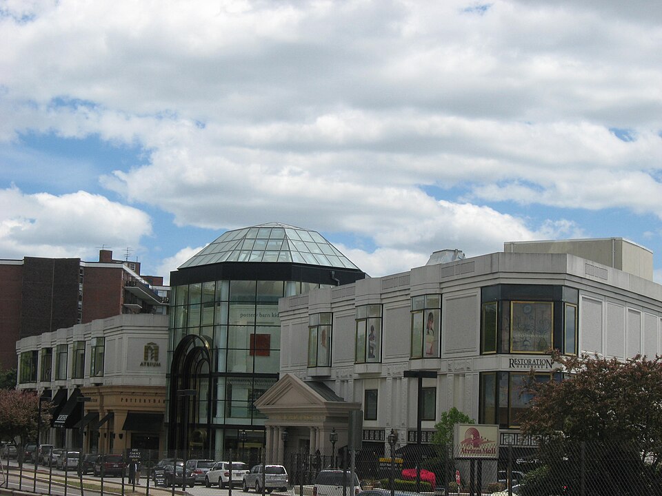 Atrium MallNewton, MA · 2016Reinhabited · Reinhabitation; fitness, medical office, transit shuttle
 Lafayette Place MallBoston, MA · 1997Redeveloped · Reinhabited · Reinhabitation: mixed use and office Redevelopment: 3 additional…
 Nouvelle at NatickNatick, MA · 2007Partial Redeveloped · Regreened · Partial redevelopment: residential Partial regreening: green roof
 Worcester GalleriaWorcester, MA · 2010Redeveloped · Redevelopment: mixed use, new streets15 Court SquareBoston, MARedevelopment, approved · 80 apartments