Malls · Georgia
Albany Mall
Albany Mall, a 47.37‑acre closed Georgia mall, is REO‑owned and listed for sale in 2026, awaiting reuse determination future planning. · summary, model-written
Solid = from the authors' map · outlined = public source · dashed = model-written, not yet reviewed by a person. Tap any value's source label to see where it came from. documented = a quoted excerpt (click to read it) · reported = a source named, no excerpt yet · no source.
Site profile5 elements · what this retrofit is built with · tap a chip for the evidence
Closed per a 2014 list or a Wikipedia category, unchecked
This site: …closed import, no source · all sites with thisForeclosure or REO
This site: research-deals · all sites with thisListed for sale
This site: research-deals · all sites with thisCounty lost 10%+ of retail establishments since 2012
This site: -12% census-cbp · all sites with thisShrinking county
This site: -7.8% census-acs · all sites with thisNow
| Status | Closedpublic reporting reported |
|---|
Deals and debt
| Date | Event | Price | Parties | Source |
|---|---|---|---|---|
| 2026-09 | Listed · REO | $2.0M asking | ← Lender (REO) | commercialcafe.com 2026-09-08 |
Site context
| Housing permits, Dougherty County (GA), 2024 | 20 units in 5+ unit buildings, 0 in 2–4, 25 single-family; 2023: 15 in 5+Census BPS |
|---|---|
| Retail trade in the county, 2025 (BLS QCEW) | 4,962 jobs in 424 establishments; average annual pay $34,418; employment location quotient 1.12; employment -8.8% on the yearBLS QCEW 2025, NAICS 44-45, private |
| Jobs located in the tract, 2022 | 5,645 jobs; 1,171 in retail trade, 1,019 in accommodation and food (workplace blocks summed to tract 13095000400)Census LEHD LODES8 WAC 2022 |
| Upward mobility (Opportunity Atlas, 2010 tract) | children of low-income (25th percentile) families reached the 40th income percentile as adults; 2.5% incarcerated at the 2010 count (523 children in the sample); born 1978–83, measured 2014–15Opportunity Insights |
| Food access (USDA FARA 2019, 2010 tract) | not a low-access tract at 1 mile; 2% of residents more than 1 mile from a supermarket; poverty rate 24.7%; median family income $39,621; 475 SNAP householdsUSDA ERS |
| Schools | Dougherty School District (PK-12); 0 public schools within 1 mileNCES EDGE |
| Elevation | 236 ft above sea level at the site pointUSGS 3DEP |
| Storm events in the county, 2016-2025 | 158 county-logged events: 91 thunderstorm wind, 40 flash flood, 12 flood, 11 hail; $317,416,000 property damage reported; 5 direct deaths; forecast-zone events (most flood, winter and heat) not countedNOAA Storm Events |
| Homes for sale in ZIP 31707, 2026-09 | median list price $158,675 (-5.9% on the year); 147 active listings; median 55 days on market; 16% with a price cutRealtor.com Research |
| Retail trade in the county, 2012 to 2023 | 431 establishments (-12%); 6,193 jobs (-5%)Census CBP |
| Housing market in the county | typical home value $126,402 (+2% 1 yr, +28% 5 yr); typical rent $978/mo (+4% 1 yr), 2026-09Zillow Research |
| Traffic on the busiest road within 600 m (2024) | 24,300 vehicles a day on Dawson Rd; (principal arterial, 4 lanes); 500 trucks; 37 counted segmentsFHWA HPMS |
Summary, model-written
The mall opened as a regional shopping center (date unknown) and operated until it closed, after which the property was taken over by a lender and listed for sale in September 2026 as an REO asset.
Why. The record shows a distressed loan or foreclosure status and a listing for sale, indicating financial distress as the primary cause of closure; no anchor loss or competition details are provided.
Where it stands. The site is currently closed and controlled by the lender (REO) that listed it for sale in 2026.
For a planner
- No specific policy tools or precedents are cited in the record.
- Open questions include the intended future use, required zoning changes, and any needed environmental review.
For a developer
- The site comprises 47.37 acres under lender (REO) control.
- Entitlement stage, floodplain, transit access, and environmental constraints are not detailed in the record.
- Market signals from surrounding tract data are not provided.
What we do not know yet
- Opening date and exact closure timeline are unknown.
- Anchor tenant status and reasons for distress beyond loan foreclosure are not specified.
- Environmental conditions, flood risk, and transit proximity are not described.
- Zoning and entitlement status are not provided.
- Data quality is thin, based on a single source and a draft verification.
Generated by nvidia/nemotron-3-super-120b-a12b on NVIDIA API via Hermes CT from the fields, parcels, deals and context layers on this page, with no outside knowledge. It is regenerated when the record changes and has not been checked by a person. How it is made.
Similar sites
- Boulevard Mall, Erie County, NY · Malls · similar size (63 acres)
- Heritage Park Mall, Midwest City, OK · Malls · similar size (39 acres)
- Berkshire Mall, Wyomissing, PA · Malls · similar size (59 acres)
- Westgate Mall, Bangor, ME · Malls · similar size (55 acres)
Elsewhere on the web
Pages with photos
- MallsCenters - US Shopping Malls & Stores mallscenters.com
- Albany Mall - FlyLab Drones - Georgia Drone Photography flylabdrones.com
- ALBANY MALL - Updated July 2026 - 13 Photos & 15 Rev… yelp.com
- Park Inn by Radisson Albany, GA, Albany: Hotel Reviews, Rooms & Prices | Hotels.com hotels.com
- Albany Mall in Albany, Georgia - Ask AI | mindtrip mindtrip.ai
Search images: Google · Bing · Commons · references: ULI case studies · Google Scholar
Multifamily screen
- closed or demolished per category only, +0 until sourced
- 47.37 acres
- county shrank -7.8% 2018–23
- distressed loan or foreclosure
- listed for sale
Inputs: record fields (size, status) and county Census ACS 2018–2023 figures (growth, rent). How the points work. Not a recommendation.
History and original facts
| Acres | 47.4public reporting |
|---|---|
| County | Dougherty County |
| Census division | 5 · South Atlantic |
| Notes | Record created from a 2024+ transaction, listing or loan report; no retrofit recorded. |
Not yet recorded: GLA, year opened, original developer, what is there now, retrofit year. Know it? Tell us.
Sources
- REO Sale | Albany Mall, Dillard's-Anchored · 2026-09-08
1 quoted sentence
RealINSIGHT Marketplace, in partnership with Newmark, is presenting Albany Mall, an enclosed regional mall in Dougherty County, Georgia.
More in Georgia
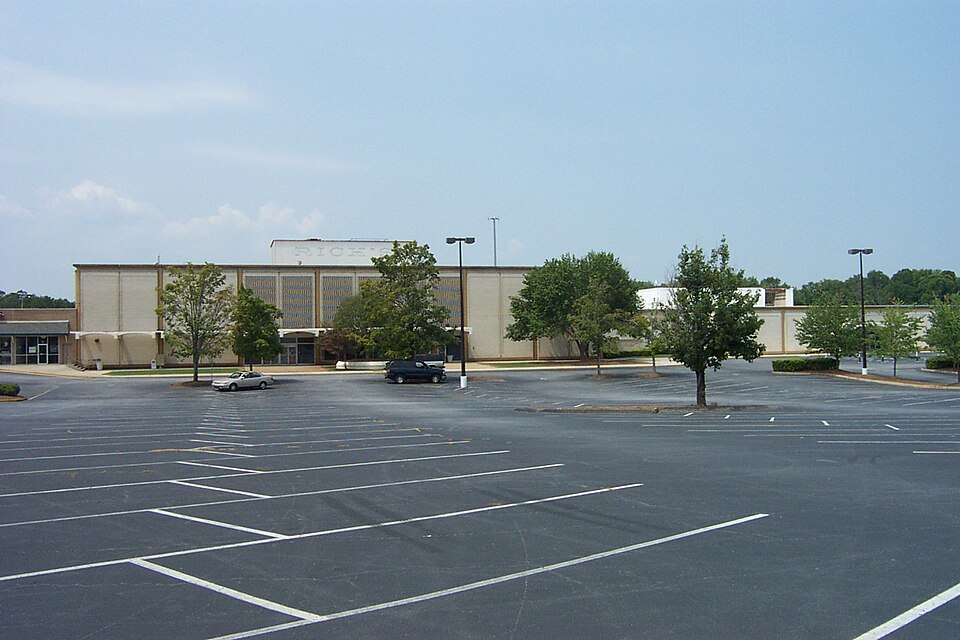
 Buford Clairmont MallChamblee, GA · 2000Reinhabited · Reinhabitation: ethnic mall
 Cobb Ctr MallSmyrna, GA · 2004Partial Regreened · Partial regreening, parkColumbus Square MallColumbus, GA · 2005Redeveloped · Redevelopment: civic
 Furniture StoreNorcross, GAReinhabited · Reinhabitation: ethnic mallHouston MallWarner Robins, GA · 2014Reinhabited · Reinhabitation: healthcare
 Phipps PlazaAtlanta, GA · 2018Partial Redeveloped · Partial redevelopment, mixed use