Malls · Pennsylvania
MacDade Mall
Opened 1970.
Solid = from the authors' map · outlined = public source · dashed = model-written, not yet reviewed by a person. Tap any value's source label to see where it came from. documented = a quoted excerpt (click to read it) · reported = a source named, no excerpt yet · no source.
Site profile6 elements · what this retrofit is built with · tap a chip for the evidence
Kmart
This site: Kmart wikipedia · all sites with thisClosed per a 2014 list or a Wikipedia category, unchecked
This site: …closed import, no source · all sites with this100k+ jobs within 45 min by transit
This site: 338,160 epa-walkability · all sites with thisLow social vulnerability tract (SVI ≤ 0.25)
This site: 0.21 cdc-svi · all sites with thisTract house prices doubled in 10 years
This site: +114% fhfa · all sites with thisWalkable block group (EPA ≥ 12)
This site: …index 12.8 epa-walkability · all sites with thisNow
| Status | ClosedEsri 2014 layer reported |
|---|
Securitised debt and public filers
Filings (2001 to date) that name “MacDade Mall” and “Holmes” (10 hits, first 10 sampled, 3 other filers such as tenants left out). Only weak matches to commercial-mortgage trusts: the mall may have backed a securitised loan, or may just be mentioned in the filing; several trusts usually means one loan split into pari-passu notes. Earliest trust filing in the sample 2015-02-27 (a sample date, not the issuance date); candidate loan vintage 2015 from the trust name (weak match). Whether the loan is still in the pool, in special servicing or repaid is in the trust's monthly distribution reports, which are not searchable here. Text matches, not a title search. Open the search · all trusts.
| Kind | Filer | Filings | Dates | Forms |
|---|---|---|---|---|
| CMBS trust (weak) | GS Mortgage Securities Trust 2015-GC28 | 1 | 2015-02-27 to 2015-02-27 | 8-K 1 |
Site context
| FEMA flood zone | X · AREA OF MINIMAL FLOOD HAZARDFEMA NFHL |
|---|---|
| EPA-regulated facilities within 500 m | 2: GETTY 69209; INTERBORO SCHOOL DISTRICTEPA FRS |
| Census tract 42045403502 | 2,668 people, 6,634 per sq mi; median household income $70,368; median gross rent $1,103; 16% renters; 14.6% vacant units; 1.7% commute by transitACS 2023 5-year |
| Walkability (EPA, block group) | index 12.8 of 20; 169 intersections per sq mi; nearest transit stop 325 m; land-use mix 0.24; 165,750 jobs within 45 min by car, 338,160 by transit; 0% of households without a carEPA Smart Location |
| Opportunity Zone | noHUD |
| Housing permits, Delaware County (PA), 2024 | 5 units in 5+ unit buildings, 9 in 2–4, 267 single-family; 2023: 12 in 5+Census BPS |
| Social vulnerability (CDC SVI 2022, tract) | overall percentile 0.21; socioeconomic 0.34; housing and transport 0.17; 12% below 150% of poverty; 6% of households with no vehicleCDC/ATSDR |
| Other atlas sites nearby | 0 within 10 km, 19 within 25 kmcomputed |
| Overture Maps | no place match; building footprint 24,393 m², 5.814060688018799 mOverture (CDLA-Permissive 2.0) |
| Tract change 2013–2023 | population -13% (3,054 → 2,668); median income +37% ($51,228 → $70,368); renters 33% → 16%; median home value +28% ($157,300 → $201,200)Census ACS 5-year |
| Natural hazard risk (FEMA National Risk Index, tract) | very low overall (score 14.7); expected annual loss $574,926; high: winter weather; community resilience relatively highFEMA NRI |
| Tax-credit housing within 1 km | noneHUD LIHTC |
| Retail trade in the county, 2025 (BLS QCEW) | 23,421 jobs in 1,536 establishments; average annual pay $39,168; employment location quotient 1.08; employment +0.3% on the yearBLS QCEW 2025, NAICS 44-45, private |
| Jobs located in the tract, 2022 | 1,006 jobs; 596 in retail trade, 158 in accommodation and food (workplace blocks summed to tract 42045403502)Census LEHD LODES8 WAC 2022 |
| Upward mobility (Opportunity Atlas, 2010 tract) | children of low-income (25th percentile) families reached the 43th income percentile as adults; 1.0% incarcerated at the 2010 count (199 children in the sample); born 1978–83, measured 2014–15Opportunity Insights |
| Food access (USDA FARA 2019, 2010 tract) | not a low-access tract at 1 mile; poverty rate 10.5%; median family income $84,000; 120 SNAP householdsUSDA ERS |
| Schools | Interboro School District (KG-12); 8 public schools within 1 mile: Kindergarten Academy; Glenolden Sch; Interboro SHS; Prospect Park SchNCES EDGE |
| Elevation | 87 ft above sea level at the site pointUSGS 3DEP |
| Storm events in the county, 2016-2025 | 304 county-logged events: 161 thunderstorm wind, 105 flash flood, 26 hail, 8 flood; $30,455,000 property damage reported; forecast-zone events (most flood, winter and heat) not countedNOAA Storm Events |
| Homes for sale in ZIP 19036, 2026-09 | median list price $227,000 (-5.4% on the year); 26 active listings; median 46 days on market; 25% with a price cutRealtor.com Research |
| Retail trade in the county, 2012 to 2023 | 1,554 establishments (-9%); 25,519 jobs (+3%)Census CBP |
| Housing market in the county | typical home value $362,572 (+3% 1 yr, +29% 5 yr); typical rent $1,748/mo (+3% 1 yr), 2026-09Zillow Research |
| House price index, tract, 2025 | 403 (2000 = 100), +56% 5 yr, +114% 10 yrFHFA |
| Traffic on the busiest road within 600 m (2024) | 25,103 vehicles a day on MACDADE BL (principal arterial); 40 counted segmentsFHWA HPMS |
Summary, model-written
MacDade Mall opened in 1970 as a 260,000‑square‑foot shopping center with approximately 35 stores. It operated as a mall until it closed; the record does not specify a closure date or subsequent use.
Why. The record does not state any reasons for the mall’s closure; no anchor losses, competition, debt, or demolition events are listed.
Where it stands. The mall is currently closed, and the record does not identify an owner or controlling entity.
For a planner
- No specific precedents or policy tools are documented in the record.
- Open questions include the year and cause of closure, current ownership, and potential reuse or redevelopment options.
For a developer
- Site size is 260,000 sf GLA.
- Control and entitlement stage are unknown from the record.
- Context‑layer constraints (flood, transit, environment) are not recorded.
- Market signals from surrounding tract data are not available.
What we do not know yet
- Exact closure date is not recorded.
- Reasons for closure (anchor loss, competition, debt, demolition) are not stated.
- Current owner or controlling entity is unknown.
- Present physical condition and any demolition or reuse activity are undocumented.
- Zoning, flood‑plain, transit access, and environmental constraints are not provided in the record.
Generated by nvidia/nemotron-3-super-120b-a12b on NVIDIA API via Hermes CT from the fields, parcels, deals and context layers on this page, with no outside knowledge. It is regenerated when the record changes and has not been checked by a person. How it is made.
Similar sites
- Exton Square Mall, Exton, PA · Malls · opened 1973; also in PA; 31 km away
- Granite Run Mall, Middletown, PA · Malls · opened 1974; also in PA; 11 km away
- Fairfield Commons Mall, Glen Allen, VA · Malls · similar GLA (335,000 sq ft); opened 1968
- North Park Mall, Villa Park, IL · Malls · similar GLA (333,596 sq ft); opened 1973
Elsewhere on the web
Pages with photos
- MacDade Mall in Holmes, PA commons.wikimedia.org
- 2600 MacDade Blvd, Holmes, PA 19043 - MacDade Mall | LoopNet loopnet.com
- MacDade Mall wikimapia.org
- MacDade Mall [Abandoned Mall] - Holmes, PA youtube.com
- MACDADE MALL - Updated July 2026 … yelp.com
- Macdade Mall - Holmes, PA | 600 S. Macdade Blvd; constr… flickr.com
- Whatever Happened to MacDade Mall? A Look Back at the Delco Landmark delco.today

Search images: Google · Bing · Commons · references: ULI case studies · Google Scholar
Multifamily screen
- closed or demolished per category only, +0 until sourced
Inputs: record fields (size, status) and county Census ACS 2018–2023 figures (growth, rent). How the points work. Not a recommendation.
History and original facts
| Opened | 1970Esri 2014 layer |
|---|---|
| Gross leasable area | 260,000 sq ftEsri 2014 layer reported |
| Stores at peak | 35Esri 2014 layer reported |
| Anchors | Kmart, Acme Markets |
| Address | MacDade Blvd. & South Ave. |
| County | Delaware |
| Census division | 2 · Mid-Atlantic |
| Notes | Listed as a closed mall in Esri's 2014 Closed_US_Malls layer (Directory of Major Malls data). Current status to be checked. |
Not yet recorded: acres, original developer, what is there now, retrofit year. Know it? Tell us.
Timeline
- 1970 Opened
Sources
- Esri StoryMaps: Closed_US_Malls feature layer (2014) · 2014-10-02
More in Pennsylvania
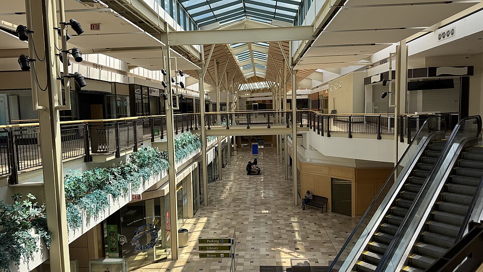 Exton Square MallExton, PA · 2020Partial Redeveloped · Reinhabited · Partial reinhabitation: healthcare, civic Partial redevelopment:…Granite Run MallMiddletown, PA · 2013Partial Redeveloped · Partial redevelopment: demalled plus residential
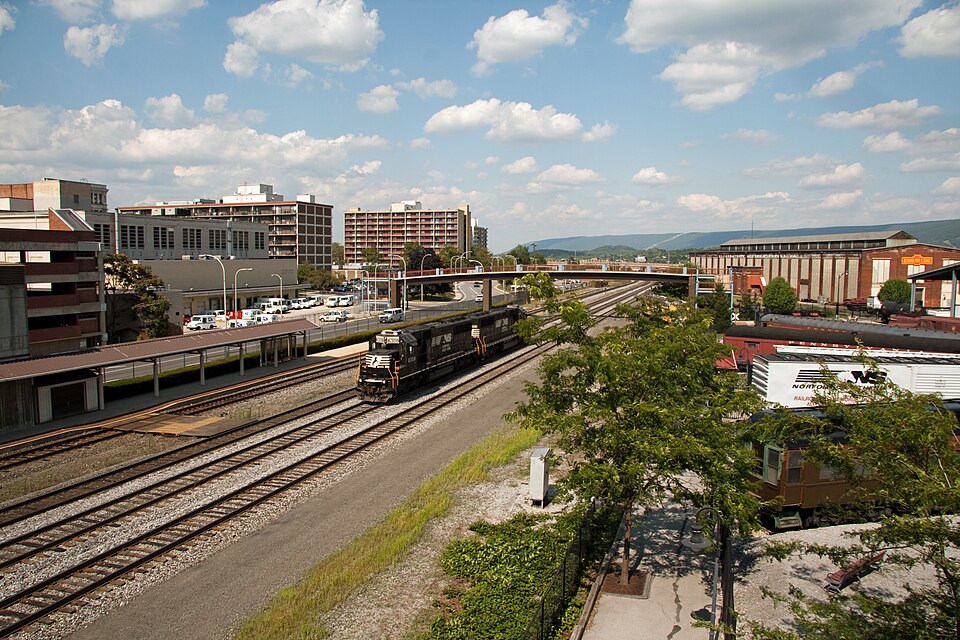 Station MallAltoona, PA · 2010Reinhabited · Reinhabitation, healthcare435 Devon Park Dr.Wayne, PA · 2024Regreening · Reinhabitation, under construction · 162 apartments across the existing two-story buildings. Three acres…Abbey Gardens office complexReading, PAReinhabitation, approved · 92 apartments, made up of 84 one-bed and eight two-bed flats