Other · Ohio
Cincinnati–Blue Ash Airport
Opened 1921. Closed 2012. Redevelopment · Regreening, under construction in 2017.
Solid = from the authors' map · outlined = public source · dashed = model-written, not yet reviewed by a person. Tap any value's source label to see where it came from. documented = a quoted excerpt (click to read it) · reported = a source named, no excerpt yet · no source.
Site profile9 elements · what this retrofit is built with · tap a chip for the evidence
Retrofit in the pipeline
This site: …under construction newtypes-extraction · all sites with this3+ other atlas sites within 10 km
This site: 4 within 10 km computed · all sites with thisCounty lost 10%+ of retail establishments since 2012
This site: -11% census-cbp · all sites with this60+ acre site
This site: 98 acres newtypes-extraction · all sites with thisRedeveloped
This site: …mixed-use development on the site named The Neighborhoods of Summit Park, beginning with a residential subdivision named The Daventry record · all sites with thisRegreened
This site: …mixed-use development on the site named The Neighborhoods of Summit Park, beginning with a residential subdivision named The Daventry record · all sites with thisHousing
This site: …te named The Neighborhoods of Summit Park, beginning with a residential subdivision named The Daventry newtypes-extraction · all sites with thisMixed use
This site: …mixed-use development on the site named The Neighborhoods of Summit P newtypes-extraction · all sites with thisPark and open space
This site: …e development on the site named The Neighborhoods of Summit Park, beginning with a residential subdivision named The Daventr newtypes-extraction · all sites with thisNow
| Status | Under constructionnewtypes-extraction reported |
|---|---|
| Strategy | Redevelopment · Regreening, under constructionWikipedia no source |
| New uses | housing, mixed, parkWikipedia no source |
| What is there now | mixed-use development on the site named The Neighborhoods of Summit Park, beginning with a residential subdivision named The Daventrynewtypes-extraction reported |
| Retrofit year | 2017newtypes-extraction reported |
| Redeveloper | Al Neyernewtypes-extraction reported |
Deals and debt
| Date | Event | Price | Parties | Source |
|---|---|---|---|---|
| 2017 | Sold | — | Al. Neyer ← Cincinnati | Wikipedia |
| 2006 | Sold | $37.5M closed | City of Blue Ash ← City of Cincinnati | Wikipedia |
Site context
| Housing permits, Hamilton County (OH), 2024 | 217 units in 5+ unit buildings, 39 in 2–4, 566 single-family; 2023: 654 in 5+Census BPS |
|---|---|
| Other atlas sites nearby | 4 within 10 km, 11 within 25 km: CIC Industrial Park (1.9 km); Kenwood Plaza (5.0 km); Tri-County Mall (8.1 km); Swifton Center (9.2 km)computed |
| Retail trade in the county, 2025 (BLS QCEW) | 38,928 jobs in 2,586 establishments; average annual pay $39,344; employment location quotient 0.77; employment -1.1% on the yearBLS QCEW 2025, NAICS 44-45, private |
| Jobs located in the tract, 2022 | 13,097 jobs; 172 in retail trade, 443 in accommodation and food (workplace blocks summed to tract 39061023501)Census LEHD LODES8 WAC 2022 |
| Upward mobility (Opportunity Atlas, 2010 tract) | children of low-income (25th percentile) families reached the 54th income percentile as adults; -0.1% incarcerated at the 2010 count (92 children in the sample); born 1978–83, measured 2014–15Opportunity Insights |
| Food access (USDA FARA 2019, 2010 tract) | low-access at 1 mile, not low-income; 33% of residents more than 1 mile from a supermarket; poverty rate 5.1%; median family income $133,315; 64 SNAP householdsUSDA ERS |
| Schools | Sycamore Community City School District (PK-12); 1 public school within 1 mile: Evendale Elementary SchoolNCES EDGE |
| Elevation | 841 ft above sea level at the site pointUSGS 3DEP |
| Storm events in the county, 2016-2025 | 324 county-logged events: 147 thunderstorm wind, 71 flash flood, 57 hail, 41 flood; $6,576,950 property damage reported; 2 direct deaths; forecast-zone events (most flood, winter and heat) not countedNOAA Storm Events |
| Homes for sale in ZIP 45242, 2026-09 | median list price $733,075 (-10.5% on the year); 46 active listings; median 37 days on market; 12% with a price cutRealtor.com Research |
| Retail trade in the county, 2012 to 2023 | 2,518 establishments (-11%); 40,920 jobs (-26%)Census CBP |
| Housing market in the county | typical home value $266,241 (+1% 1 yr, +24% 5 yr); typical rent $1,468/mo (+2% 1 yr), 2026-09Zillow Research |
| Traffic on the busiest road within 600 m (2024) | 19,416 vehicles a day on REED HARTMAN HWY (minor arterial, 4 lanes); 4 counted segmentsFHWA HPMS |
Summary, model-written
Former airport (1921–2012) on 98 acres in Blue Ash, OH, sold to developer Al Neyer in 2017 for mixed-use redevelopment. Current status: under construction as The Neighborhoods of Summit Park, beginning with residential subdivision The Daventry. New use includes housing, mixed-use, and park elements. Developer acquired land from City of Cincinnati (2017 sale).
Why. 98 acres (larger than average for redevelopment), active construction, housing-focused strategy, and confirmed developer commitment. Peer comparisons (e.g., Summit Place Mall, Northland Center) show similar redevelopments.
Where it stands. Site is actively being redeveloped; no further details on construction progress or specific housing metrics beyond permits (2023–2024: 566+ residential units projected). Regreen strategy implementation details unknown. Traffic data (Reed Hartman Hwy, 4 lanes) and housing market (Zillow ZHVI $266k) are contextual but not site-specific.
For a planner
- 98-acre parcel in active redevelopment
- Mixed-use housing strategy aligns with regional housing market (ZHVI $266k)
- No known barriers to construction noted
For a developer
- Land acquired 2017, under construction
- 98 acres exceeds typical redevelopment size (peer comparisons average 74–100 acres)
- Housing focus matches opportunity reasons
What we do not know yet
- Regreen strategy execution unknown
- No current occupancy or sales data
- Tri-County Mall (8.1km) closed but not directly comparable
Generated by qwen3-30b-a3b-64k:latest on Dell 5820 RTX 3090 (Ollama, qwen3-30b-a3b) from the fields, parcels, deals and context layers on this page, with no outside knowledge. It is regenerated when the record changes and has not been checked by a person. How it is made.
Similar sites
- Summit Place Mall, Waterford Township, MI · Malls · similar size (74 acres); closed 2009; same strategy: redevelop
- Northland Center, Southfield, MI · Malls · closed 2015; same strategy: redevelop, regreen
- Gwinnett Place Mall, Gwinnett County · Malls · similar size (87.5 acres); same strategy: redevelop
- RedGate Park and Arboretum, Rockville, MD · Golf courses · similar size (131 acres); same strategy: regreen
Elsewhere on the web
Search images: Google · Bing · Commons · references: ULI case studies · Google Scholar
Multifamily screen
- already in play: under construction, approved, or sold to a developer with housing plans
- 98 acres
- housing in the record
Inputs: record fields (size, status) and county Census ACS 2018–2023 figures (growth, rent). How the points work. Not a recommendation.
History and original facts
| Opened | 1921newtypes-extraction |
|---|---|
| Closed | 2012newtypes-extraction reported |
| Acres | 98.0newtypes-extraction reported |
| Original developer | City of Cincinnatinewtypes-extraction reported |
| County | Hamilton County |
| Census division | 3 · East North Central |
| Notes | Draft from Wikipedia, model-extracted, unreviewed: The former Cincinnati–Blue Ash Airport was closed in 2012 and is being redeveloped into a mixed-use development with housing and a park. |
Not yet recorded: GLA. Know it? Tell us.
Background
Blue Ash Airport (ICAO: KISZ, FAA LID: ISZ), also known as Cincinnati–Blue Ash Airport, was a public airport located in Blue Ash, Ohio, United States and owned by the City of Cincinnati. Located 16.5 miles (26.6 km) northeast of downtown Cincinnati, it served as a general aviation reliever for the Cincinnati/Northern Kentucky International Airport. Established in 1921, the airfield was one of the first in operation in the United States, and it became Ohio's first municipal airport when Cincinnati purchased it in 1946.
Excerpt from Wikipedia (authors and history), CC BY-SA 4.0. May be older than the record above.
Timeline
- 1921 Opened
- 2012 Airport permanently closed
- 2012 Phase I of Summit Park opened
- 2012 Closed
- 2017 Land sold for mixed-use development
- 2017 Retrofit: redevelop, regreen
Sources
- Cincinnati–Blue Ash Airport · CC BY-SA 4.0
4 quoted sentences
Blue Ash Airport (ICAO: KISZ, FAA LID: ISZ), also known as Cincinnati–Blue Ash Airport
the City of Cincinnati closed Blue Ash Airport permanently at noon on August 29, 2012
That fall, Blue Ash opened phase I of Summit Park on the wooded western side of the airfield and demolished the Co-Op Aircraft Service hangar, which had stood since 1952.
On May 19, 2017, Cincinnati sold the remaining 98 acres (40 ha), including the runway, to Al. Neyer.
More in Ohio
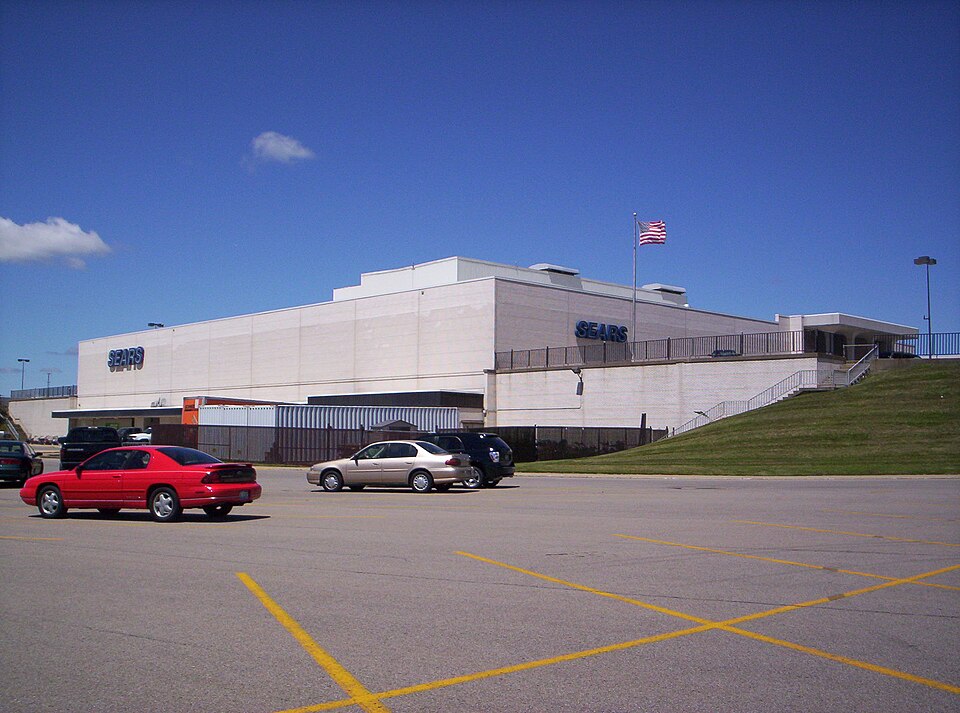 Richland MallOntario, OH · 2015Partial Reinhabited · Partial reinhabitation: healthcare