Gas stations · Canada
Former gas station on the south side of Bloor Street, overlooking High Park on the landfill of the former bridge over Wendigo Creek
Gas station site redeveloped as condo on Bloor/High Park, draft-verified, near Galleria and Honest Ed's. · summary, model-written
More
Solid = from the authors' map · outlined = public source · dashed = model-written, not yet reviewed by a person. Tap any value's source label to see where it came from. documented = a quoted excerpt (click to read it) · reported = a source named, no excerpt yet · no source.
Site profile3 elements · what this site is built with · tap a chip for the evidence
3+ other atlas sites within 10 km
This site: 8 within 10 km computed · all sites with thisRedeveloped
This site: …a condominium development record · all sites with thisHousing
This site: …new_use field newtypes-extraction · all sites with thisNow
| Status | Retrofit builtWikipedia no source |
|---|---|
| Strategy | RedevelopedWikipedia no source |
| New uses | housingWikipedia no source |
| What is there now | a condominium developmentnewtypes-extraction reported |
Links out
Every link is built from an id this record holds (parcel number, filer CIK, Wikidata item, Census tract, coordinates) or from the name and city typed into a search. Nothing here is a guessed address. Search links are marked search in their source note; commercial listing links are marked for search engines not to follow. Hover a link for why it is here.
Reference (4)
encyclopedic and research references
- Wikipedia articlefrom en.wikipedia.org
- Wikidata item Q5756002from wikidata.org
- Wikimedia Commons photos within 500 mfrom commons.wikimedia.org
- Retrofitting Suburbia (book site)from retrofittingsuburbia.com
Place (8)
map and street views by coordinates
- Google Mapsfrom google.com
- Street Viewfrom google.com
- Bing Mapsfrom bing.com
- Apple Mapsfrom maps.apple.com
- OpenStreetMapfrom openstreetmap.org
- Walk Score at this pointfrom walkscore.com
- Transitland mapfrom transit.land
- USGS National Mapfrom apps.nationalmap.gov
News (2)
news searches and archived pages
- Google News: “Former gas station on the south side of Bloor Street, overlooking High Park on the landfill of the former bridge over Wendigo Creek” (search)from name search
- Bing News: “Former gas station on the south side of Bloor Street, overlooking High Park on the landfill of the former bridge over Wendigo Creek” (search)from name search
History and original facts
| Notes | Draft from Wikipedia, model-extracted, unreviewed: A former gas station on the south side of Bloor Street overlooking High Park was redeveloped into a condominium development in the first decade of the 2000s. |
|---|
Not yet recorded: acres, GLA, year opened, original developer, retrofit year. Know it? Tell us.
Planning
| No zoning change, subsidy or policy tool recorded for this site. |
Site context
| Other atlas sites nearby | 8 within 10 km, 16 within 25 km: Galleria Shopping Centre (2.9 km); Honest Ed's (5.2 km); Tip Top Tailors Building (6.3 km); Honeydale Mall (6.5 km); Cloverdale Mall (7.0 km)computed |
|---|
Summary, model-written
Former gas station (south Bloor Street, High Park landfill) redeveloped as condominiums. Status: built.
Why. Strategy: redevelop. New use: housing. Verified as draft.
Where it stands. Overlooks High Park. Within 10km: Galleria Shopping Centre (2.9km, partial), Honest Ed's (5.2km, built).
For a planner
- Draft verification
- High Park North neighborhood (residential, early 20th century homes)
- 8 nearby sites within 10km (per context cluster)
For a developer
- Completed condo development
- No current status gaps noted in record
- Nearby retail (Galleria, Honest Ed's)
What we do not know yet
- Verification status: draft
- No details on project scale or timeline
- No mention of environmental constraints from landfill
Generated by qwen3-30b-a3b-64k:latest on Dell 5820 RTX 3090 (Ollama, qwen3-30b-a3b) from the fields, parcels, deals and context layers on this page, with no outside knowledge. It is regenerated when the record changes and has not been checked by a person. How it is made.
Similar sites
- Queen's Quay Terminal, Toronto · Industrial sites · same strategy: redevelop; 8 km away
- Bronte Village Mall, Bronte · Strip centers · same strategy: redevelop; 35 km away
- Honest Ed's, Toronto · Big boxes · same strategy: redevelop; 5 km away
- Former golf course (Woodbine Gardens), Toronto · Golf courses · same strategy: redevelop; 7 km away
Elsewhere on the web
Search images: Google · Bing · Commons · references: ULI case studies · Google Scholar
Background
High Park North, or often simply High Park, after the park, is a neighbourhood in Toronto, Ontario, Canada. It is bounded on the south by Bloor Street, on the west by Runnymede Road, on the north by Annette Street, and on the east by the GO Transit Weston Subdivision rail tracks (formerly owned by Canadian National Railway). It is located in the Parkdale—High Park provincial and federal electoral districts. The area east of Keele Street is also known informally as the "West Bend" neighbourhood. == Character == High Park North is mainly residential, containing many semi-detached homes built in the early 20th century.
Excerpt from Wikipedia (authors and history), CC BY-SA 4.0. May be older than the record above.
Sources
- High Park North · CC BY-SA 4.0
1 quoted sentence
former gas station on the south side of Bloor Street, overlooking High Park on the landfill of the former bridge over Wendigo Creek
More in Canada
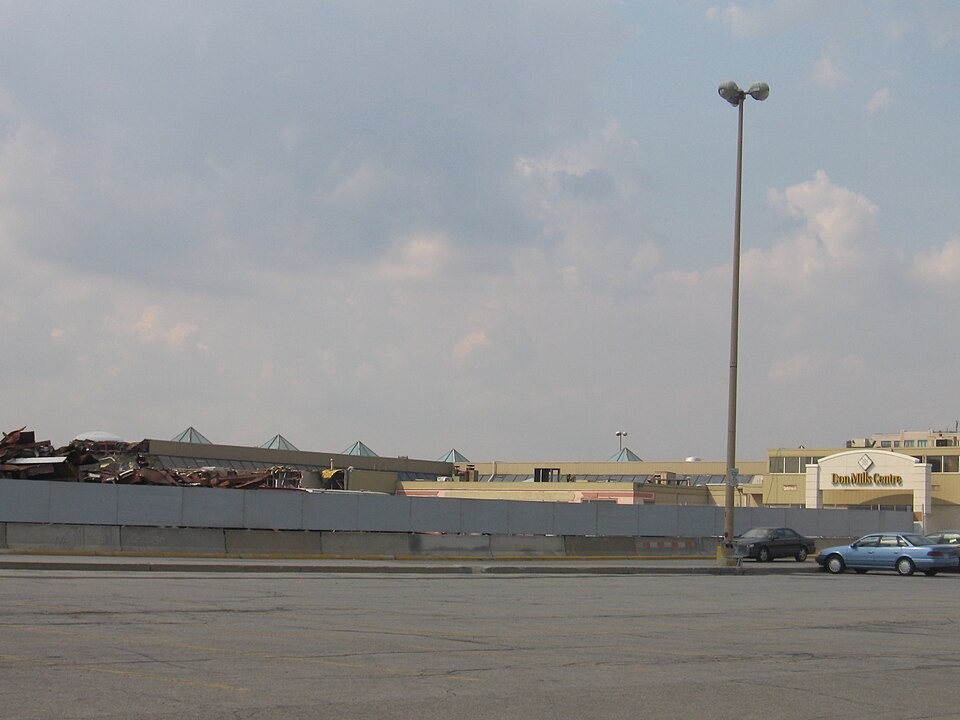 Don MillsToronto, CanadaRedeveloped
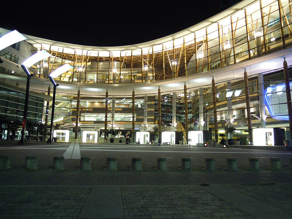 Surrey Central CitySurrey, CanadaReinhabited
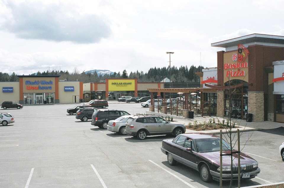 Alberni MallPort Alberni, Canada · 2007Redeveloped · The first two new tenants for the mall as part of its revitalization…
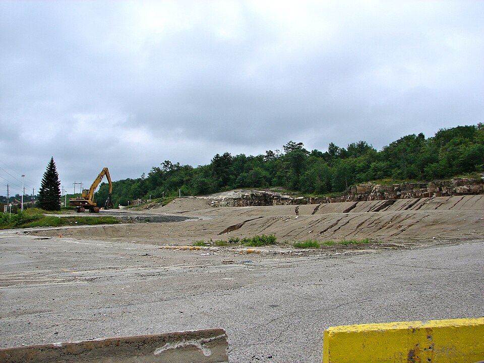 Algo Centre MallElliot Lake, Canada · 2019Redeveloped · The city of Elliot Lake purchased the vacant former Algo Centre Mall…Ayre's Department Store (Avalon Mall)St. John's, CanadaRedeveloped · Reinhabited · expansion of mall interior... Scotiabank and across from that Gap…
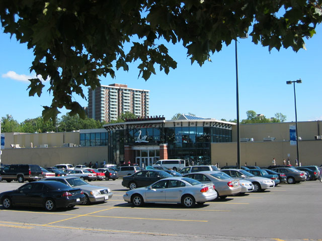 Billings Bridge Shopping CentreOttawa, Canada · 1972Redeveloped · converted into an enclosed mall and a twelve-storey office tower was…