Malls · Nebraska
Crossroads Mall (Omaha)
Opened 1960. Closed 2020. Redeveloped in 2024.
Solid = from the authors' map · outlined = public source · dashed = model-written, not yet reviewed by a person. Tap any value's source label to see where it came from.
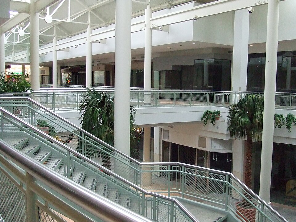
Site profile23 elements · what this retrofit is built with · tap a chip for the evidence
Dillard's
This site: Dillard's wikipedia · all sites with thisSears
This site: Sears wikipedia · all sites with thisYounkers
This site: Younkers wikipedia · all sites with this15-minute neighbourhood (5+ of 6 daily needs within 800 m)
This site: 6/6 openstreetmap · all sites with this3+ other atlas sites within 10 km
This site: 10 within 10 km computed · all sites with this30,000+ vehicles a day on an adjacent road
This site: 44,015 on DODGE STREET fhwa-hpms · all sites with thisBike network nearby
This site: 10 ways openstreetmap · all sites with thisCounty permitting 2,000+ apartment units a year
This site: 2,583 units, Douglas County census-bps · all sites with thisGrocery within 800 m
This site: 3 stores openstreetmap · all sites with thisHigh inland flooding risk
This site: Relatively High fema-nri · all sites with thisHigh natural hazard risk (FEMA NRI)
This site: Relatively High; tornado, inland flooding, hail, strong wind, winter weather, ice storm fema-nri · all sites with thisHigh tornado risk
This site: Very High fema-nri · all sites with thisHigh-income tract ($100k+)
This site: $128,036 census-acs · all sites with thisLow social vulnerability tract (SVI ≤ 0.25)
This site: 0.14 cdc-svi · all sites with thisTract house prices doubled in 10 years
This site: +109% fhfa · all sites with thisTract income up 60%+ since 2013
This site: +113% census-acs · all sites with thisWalkable block group (EPA ≥ 12)
This site: …index 14 epa-walkability · all sites with thisRedeveloped
This site: …a dirt lot extraction · all sites with thisEntertainment and sports
This site: …new_use field extraction · all sites with thisHotel
This site: …new_use field extraction · all sites with thisHousing
This site: …new_use field extraction · all sites with thisOffice
This site: …new_use field extraction · all sites with thisRetail (continued)
This site: …new_use field extraction · all sites with thisNow
| Status | Demolishedextracted, unreviewed |
|---|---|
| Strategy | Redevelopedextracted, unreviewed |
| New uses | housing, office, retail, hotel, entertainmentextracted, unreviewed |
| What is there now | a dirt lotextracted, unreviewed |
| Retrofit year | 2024extracted, unreviewed |
| Redeveloper | Century Developmentextracted, unreviewed |
Planning
| Planning notes | The redevelopment plan includes 400 residences.extracted, unreviewed |
|---|
Deals and debt
| Date | Event | Price | Parties | Source |
|---|---|---|---|---|
| 2010 | Sold | $40.6M closed | CW Capital ← Simon Property Group | Wikipedia |
| 2010 | Sold | — | Century Development ← CW Capital | Wikipedia |
| 1984 | Sold | — | Melvin Simon & Associates ← J. L. Brandeis and Sons | Wikipedia |
Securitised debt and public filers
Filings (2001 to date) that name “Crossroads Mall” and “Omaha” (132 hits, first 100 sampled, 8 other filers such as tenants left out). A strong match to a commercial-mortgage trust means the mall very likely backed, or backs, a securitised loan; several trusts usually means one loan split into pari-passu notes. Earliest trust filing in the sample 2003-03-14 (a sample date, not the issuance date); candidate loan vintage 2007 from the trust name (weak match). Whether the loan is still in the pool, in special servicing or repaid is in the trust's monthly distribution reports, which are not searchable here. Text matches, not a title search. Open the search · all trusts.
| Kind | Filer | Filings | Dates | Forms |
|---|---|---|---|---|
| CMBS trust (strong) | JP MORGAN CHASE COMMERCIAL MORTGAGE SECURITIES CORP | 2 | 2003-03-14 to 2003-03-14 | 8-K 2 |
| CMBS trust (weak) | J.P. Morgan Chase Commercial Mortgage Securities Trust 2007-CIBC19 | 1 | 2007-06-29 to 2007-06-29 | 8-K 1 |
| Public owner (weak) | SIMON PROPERTY GROUP INC /DE/ (SPG, SPG-PJ) | 50 | 2002-05-17 to 2010-02-25 | 8-K 33, 10-K 16, 8-K/A 1 |
| Public owner (weak) | SIMON PROPERTY GROUP L P /DE/ | 18 | 2001-03-30 to 2010-03-12 | 10-K 18 |
| Public owner (weak) | PENNSYLVANIA REAL ESTATE INVESTMENT TRUST | 1 | 2004-03-03 to 2004-03-03 | 8-K 1 |
| Public owner (weak) | GENERAL GROWTH PROPERTIES INC | 1 | 2001-03-19 to 2001-03-19 | 10-K 1 |
As reported by the owner
Property tables from the owner's annual report (Form 10-K, Item 2) on EDGAR, one row per filing year. GLA, occupancy and anchors are the filer's own figures at that year end; “leased” counts signed leases, “occupied” counts open stores; ownership is the filer's share. Matched by name and place, unreviewed; the verbatim table row is in sec_facts.csv.
| Year end | Filer | Name in filing | GLA sq ft | Occupancy | Years | Share | Sales psf | Anchors listed |
|---|---|---|---|---|---|---|---|---|
| 2009 | Simon Property Group 10-K, 2010-02-25 | Crossroads Mall Omaha, NE match: exact | 677,320 | 59.7% occupied | acquired 1994 | 100.0% Fee | Sears, Target, Barnes & Noble, |
Site context
| FEMA flood zone | no NFHL polygon at point (unmapped or outside coverage)FEMA NFHL |
|---|---|
| EPA-regulated facilities within 500 m | 13: AMOCO FOOD SHOP; ASPEN DENTAL OF NEBRASKA PC; AUTO SYSTEMS EXPERTS INC DBA MIDAS AUTO; FIRESTONE TIRE & SERVICE CENTER; FORMER CROSSROADS MALL FACILITYEPA FRS |
| Census tract 31055006701 | 3,792 people, 1,905 per sq mi; median household income $128,036; median gross rent $1,104; 42% renters; 1.7% vacant units; 1.1% commute by transitACS 2023 5-year |
| Walkability (EPA, block group) | index 14 of 20; 72 intersections per sq mi; nearest transit stop 827 m; land-use mix 0.78; 96,617 jobs within 45 min by car, 4,411 by transit; 12% of households without a carEPA Smart Location |
| Within a 10–15 minute walk (800 m) | 6 of 6 daily needs: 3 grocers, 4 schools, 6 parks or playgrounds, 4 health, 6 civic, 44 food and drink; 10 cycleway segments, 115 sidewalk-tagged segmentsOpenStreetMap |
| Opportunity Zone | noHUD |
| Housing permits, Douglas County (NE), 2024 | 2,583 units in 5+ unit buildings, 89 in 2–4, 1,867 single-family; 2023: 1,751 in 5+Census BPS |
| Social vulnerability (CDC SVI 2022, tract) | overall percentile 0.14; socioeconomic 0.05; housing and transport 0.33; 4% below 150% of poverty; 2% of households with no vehicleCDC/ATSDR |
| Other atlas sites nearby | 10 within 10 km, 14 within 25 km: Westroads Mall (3.6 km); Center Mall (4.9 km); Strip mall near Saddle Creek Road (7.3 km); Union Stockyards site (7.3 km); J. L. Brandeis and Sons Store Building (7.4 km)computed |
| Overture Maps | no place match; building footprint 12,298 m²Overture (CDLA-Permissive 2.0) |
| Attention: Wikipedia page views | 16,267 since 2015; 4,771 in the last 12 months (-10% vs the prior 12); peak 2024-12 with 708Wikimedia |
| Tract change 2013–2023 | population -3% (3,896 → 3,792); median income +113% ($60,057 → $128,036); renters 41% → 42%; median home value +52% ($333,700 → $507,600)Census ACS 5-year |
| Natural hazard risk (FEMA National Risk Index, tract) | relatively high overall (score 88.1); expected annual loss $3.3M; high: tornado, inland flooding, hail, strong wind, winter weather, ice storm; community resilience relatively highFEMA NRI |
| Tax-credit housing within 1 km | noneHUD LIHTC |
| Retail trade in the county, 2012 to 2023 | 1,668 establishments (-5%); 36,257 jobs (+4%)Census CBP |
| Housing market in the county | typical home value $294,051 (+2% 1 yr, +23% 5 yr); typical rent $1,381/mo (+2% 1 yr), 2026-09Zillow Research |
| House price index, tract, 2025 | 542 (2000 = 100); +11.1% 1 yr, +68% 5 yr, +109% 10 yrFHFA |
| Traffic on the busiest road within 600 m (2024) | 44,015 vehicles a day on DODGE STREET (principal arterial, 6 lanes); 550 trucks; 40 counted segmentsFHWA HPMS |
Summary, model-written
Opened in 1960 by J. L. Brandeis and Sons, Crossroads Mall operated as an enclosed retail center until anchor closures began with Younkers in 2005 and Dillard’s in 2008. Financial distress led to a foreclosure sale to CW Capital in 2010 and a subsequent sale to Century Development, after which the mall was demolished and the site cleared for redevelopment.
Why. Anchor store losses and the 2010 foreclosure sale indicate declining retail performance and debt pressure, which the record cites as reasons for demolition and redevelopment.
Where it stands. The site is currently a dirt lot controlled by Century Development, which is overseeing the 2024 retrofit and planned mixed‑use redevelopment.
For a planner
- Redevelopment plan calls for 400 residences and a mixed‑use program (housing, office, retail, hotel, entertainment).
- Strategy is listed as "redevelop" with a target retrofit year of 2024.
- Policy tools or incentives are not stated in the record.
- Open questions include timing of construction, financing, and required zoning or infrastructure approvals.
For a developer
- Site size: 717,272 sq ft GLA (large former mall footprint).
- Controlling entity: Century Development (owner from 2010‑2020, listed as developer for the retrofit).
- Entitlement stage: redevelopment plan announced 2020, retrofit scheduled 2024, planning notes specify 400 housing units.
- Market signals: Douglas County grew 5.5% 2018‑23, the opportunity score is 25.0, and the record highlights housing demand and the large site size as positive factors.
- Context‑layer constraints (flood, transit, environment) are not detailed in the record.
What we do not know yet
- Exact demolition date and current ownership status after 2020 are not explicitly given.
- Environmental constraints, flood risk, transit access, and any existing entitlements or permits are missing from the record.
- Anchor tenant history beyond Younkers, Dillard’s, Sears, and Target is not provided.
- Several fields (year_closed, original_developer, year_retrofit, developer, after_notes, status, strategy, new_use, planning_notes) are marked as extraction and unreviewed.
- The record’s verification status is "draft," indicating potential data quality issues.
Generated by nvidia/nemotron-3-super-120b-a12b on NVIDIA API via Hermes CT from the fields, parcels, deals and context layers on this page, with no outside knowledge. It is regenerated when the record changes and has not been checked by a person. How it is made.
Similar sites
- North DeKalb Mall, Decatur, GA · Malls · similar GLA (635,000 sq ft); opened 1965; closed 2020
- Landmark Mall, Alexandria, VA · Malls · similar GLA (880,000 sq ft); opened 1965; closed 2017
- Euclid Square Mall, Euclid, OH · Malls · similar GLA (632,043 sq ft); closed 2016; same strategy: redevelop
- Northwest Mall, Houston, TX · Malls · similar GLA (794,144 sq ft); closed 2017; same strategy: redevelop
Elsewhere on the web
Pages with photos
- CrossroadsMalladdition88 commons.wikimedia.org
- Crossroads mall – Artofit artofit.org
- Crossroads Mall; Omaha, Nebraska - Labelscar: The Retail History Blog labelscar.com
- Crossroads Mall - Omaha, NE | Pictured in 2002-2003 | Flickr flickr.com
- Lengthy effort to remake Omaha's Crossroads mall site hits 'milestone ... nebraskaexaminer.com
- The Register | The Crossroads mall is currently undergoing re… omahacentralregister.com
- $500 million plan in place to transform Omaha's Crossroads Mall area omaha.com

Search images: Google · Bing · Commons · references: ULI case studies · Google Scholar
Multifamily screen
- retrofit already built
- closed or demolished site (sourced)
- 717,272 sq ft GLA (large site)
- county grew 5.5% 2018–23
- housing in the record
Inputs: record fields (size, status) and county Census ACS 2018–2023 figures (growth, rent). How the points work. Not a recommendation.
History and original facts
| Opened | 1960Wikidata |
|---|---|
| Closed | 2020extracted, unreviewed |
| Gross leasable area | 717,272 sq ftEsri 2014 layer |
| Stores at peak | 70Esri 2014 layer |
| Original developer | J. L. Brandeis and Sonsextracted, unreviewed |
| Architect | Leo A. Daly |
| Anchors | Dillard's, Sears, Younkers, Target, Brandeis |
| Address | 72nd St. & Dodge St. |
| County | Douglas |
| Census division | 4 · West North Central |
| Notes | Wikipedia categories: Demolished shopping malls in the United States |
Not yet recorded: acres. Know it? Tell us.
Background
Crossroads Mall was an enclosed shopping mall located in Omaha, Nebraska, United States, at the intersection of 72nd and Dodge Streets. Originally opened in 1960 by Omaha's Brandeis department store, the mall has been home to several major chains, including Sears, Target and Dillard's before the store closed in 2008. The mall is now demolished, and is expected to be redeveloped as a mixed-use center, called The Crossroads, in 2025.
Excerpt from Wikipedia (authors and history), CC BY-SA 4.0. May be older than the record above.
Timeline
- 1959 Construction began
- 1960 Opened (Wikidata)
- 1960 Opened
- 1984 Purchased by Melvin Simon & Associates
- 1986 Renovation construction began
- 1988 Renovation completed
- 2005 Younkers closed
- 2009 Simon Malls announced mall for sale
- 2010 Foreclosure sale to CW Capital ($40.6M)
- 2010 Sold to Century Development
- 2020 Redevelopment plan announced
Sources
- Wikipedia: Crossroads Mall (Nebraska) · supports: after notes, original developer, status, strategy, year closed
15 quoted sentences
The mall itself closed around September 2020.
Crossroads Mall was originally developed as the Crossroads Shopping Center by J. L. Brandeis and Sons.
as of 2026, it is still a dirt lot.
The mall is now demolished, and is expected to be redeveloped as a mixed-use center, called The Crossroads, in 2025.
- Esri StoryMaps: Closed_US_Malls feature layer (2014) · 2014-10-02
More in Nebraska
 South Roads MallBellevue, NE · 2004Reinhabited · Reinhabitation: officeBurlington Headquarters BuildingOmaha, NEReinhabited · office space
 Conestoga MallGrand Island, NE · 2023Redeveloped · outdoor shopping mallHuskervilleLincoln, NERedeveloped · Reinhabited · The chapel, listed in the National Register of Historic Places, is…J. L. Brandeis and Sons Store BuildingOmaha, NEReinhabited