Other · Nebraska
J. L. Brandeis and Sons Store Building
Already converted historic department store (1906) to housing/retail in Omaha CBD; supported by strong local housing market and proximity to established districts. · summary, model-written
Solid = from the authors' map · outlined = public source · dashed = model-written, not yet reviewed by a person. Tap any value's source label to see where it came from. documented = a quoted excerpt (click to read it) · reported = a source named, no excerpt yet · no source.
Site profile8 elements · what this retrofit is built with · tap a chip for the evidence
3+ other atlas sites within 10 km
This site: 13 within 10 km computed · all sites with this30,000+ vehicles a day on an adjacent road
This site: 40,660 on I-480 fhwa-hpms · all sites with thisCounty permitting 2,000+ apartment units a year
This site: 2,583 units, Douglas County census-bps · all sites with thisInterstate or freeway within 600 m
This site: I-480 fhwa-hpms · all sites with thisReinhabited
This site: record · all sites with thisHousing
This site: …new_use field record · all sites with thisMixed use
This site: …new_use field record · all sites with thisRetail (continued)
This site: …new_use field record · all sites with thisNow
| Status | Retrofit builtWikipedia no source |
|---|---|
| Strategy | ReinhabitedWikipedia no source |
| New uses | housing, mixed, retailWikipedia no source |
| Redeveloper | Townsend Incnewtypes-extraction reported |
Deals and debt
| Date | Event | Price | Parties | Source |
|---|---|---|---|---|
| 2008 | Sold | — | Townsend Inc | Wikipedia |
Site context
| Housing permits, Douglas County (NE), 2024 | 2,583 units in 5+ unit buildings, 89 in 2–4, 1,867 single-family; 2023: 1,751 in 5+Census BPS |
|---|---|
| Other atlas sites nearby | 13 within 10 km, 14 within 25 km: Strip mall near Saddle Creek Road (0.1 km); Union Stockyards site (0.1 km); Burlington Headquarters Building (0.7 km); Old Market (0.7 km); Nash Block (0.8 km)computed |
| Retail trade in the county, 2025 (BLS QCEW) | 32,260 jobs in 1,709 establishments; average annual pay $41,407; employment location quotient 0.96; employment -0.8% on the yearBLS QCEW 2025, NAICS 44-45, private |
| Jobs located in the tract, 2022 | 19,246 jobs; 238 in retail trade, 2,153 in accommodation and food (workplace blocks summed to tract 31055001800)Census LEHD LODES8 WAC 2022 |
| Upward mobility (Opportunity Atlas, 2010 tract) | children of low-income (25th percentile) families reached the 36th income percentile as adults; 6.1% incarcerated at the 2010 count (116 children in the sample); born 1978–83, measured 2014–15Opportunity Insights |
| Food access (USDA FARA 2019, 2010 tract) | not a low-access tract at 1 mile; poverty rate 12.4%; median family income $97,143; 166 SNAP householdsUSDA ERS |
| Schools | Omaha Public Schools (PK-12); 4 public schools within 1 mile: LIBERTY ELEMENTARY SCHOOL; CENTRAL HIGH SCHOOL; KELLOM ELEMENTARY SCHOOL; EARLY CHILDHOOD CENTER AT EDUCARE - KELLOMNCES EDGE |
| Elevation | 1,061 ft above sea level at the site pointUSGS 3DEP |
| Storm events in the county, 2016-2025 | 373 county-logged events: 165 hail, 143 thunderstorm wind, 40 flash flood, 18 flood; $40,535,000 property damage reported; 1 direct deaths; forecast-zone events (most flood, winter and heat) not countedNOAA Storm Events |
| Homes for sale in ZIP 68102, 2026-09 | median list price $517,500 (-7.3% on the year); 20 active listings; median 99 days on market; 9% with a price cutRealtor.com Research |
| Retail trade in the county, 2012 to 2023 | 1,668 establishments (-5%); 36,257 jobs (+4%)Census CBP |
| Housing market in the county | typical home value $294,051 (+2% 1 yr, +23% 5 yr); typical rent $1,381/mo (+2% 1 yr), 2026-09Zillow Research |
| Traffic on the busiest road within 600 m (2024) | 40,660 vehicles a day on I-480 (Interstate, 7 lanes); 1,495 trucks; 23 counted segmentsFHWA HPMS |
Summary, model-written
Converted to mixed-use housing and retail in 2008 by Townsend Inc. (purchased that year). Current use: apartments/condos (The Brandeis) and retail. Listed on National Register since 1982.
Why. Already retrofitted (status: built). Located in Omaha CBD near historic district (Old Market 0.7km, Nash Block 0.8km). Housing market shows strong growth (22.9% 5-year ZHVI increase).
Where it stands. Near peers: Center Mall (4km, built), Omaha Rail District (1km, built), South Roads Mall (9km, built).
For a planner
- Historic building in active CBD core
- Near established retail/historic districts
- Housing market growth supports conversion
For a developer
- Already converted (no new construction needed)
- Proven mixed-use model (residential + retail)
- Near existing housing projects (e.g., Center Mall)
What we do not know yet
- No current occupancy rates or tenant mix details
- Exact housing type (apartments vs. condos) not specified
- No data on retail tenant success or vacancy rates
- No cost/ROI data for conversion
Generated by qwen3-30b-a3b-64k:latest on Dell 5820 RTX 3090 (Ollama, qwen3-30b-a3b) from the fields, parcels, deals and context layers on this page, with no outside knowledge. It is regenerated when the record changes and has not been checked by a person. How it is made.
Similar sites
- South Roads Mall, Bellevue, NE · Malls · same strategy: reinhabit; also in NE; 9 km away
- Center Mall, Omaha, NE · Malls · same strategy: reinhabit; also in NE; 4 km away
- Omaha Rail and Commerce Historic District, Omaha, NE · Industrial sites · same strategy: reinhabit; also in NE; 1 km away
- Burlington Headquarters Building, Omaha, NE · Office parks · same strategy: reinhabit; also in NE; 1 km away
Elsewhere on the web
Search images: Google · Bing · Commons · references: ULI case studies · Google Scholar
Multifamily screen
- retrofit already built
- county grew 5.5% 2018–23
- housing in the record
Inputs: record fields (size, status) and county Census ACS 2018–2023 figures (growth, rent). How the points work. Not a recommendation.
History and original facts
| County | Douglas County |
|---|---|
| Census division | 4 · West North Central |
| Notes | Draft from Wikipedia, model-extracted, unreviewed: The J. L. Brandeis and Sons Store Building, a former department store headquarters built in 1906, was converted in 2008 into high-end residential and commercial space known as The Brandeis. |
Not yet recorded: acres, GLA, year opened, original developer, what is there now, retrofit year. Know it? Tell us.
Background
The J. L. Brandeis and Sons Store Building is located at 210 South 16th Street in the central business district of Omaha, Nebraska. Formerly the headquarters location of the Brandeis Department Store chain, it currently holds apartments and condominiums known as The Brandeis. The building was listed on the National Register of Historic Places in 1982. == About == The original eight stories were constructed in 1906 and were designed by architect John Latenser, Sr. in Neo-Renaissance style. The structure cost $1 million to build. Two more stories were later added to the building in 1921.
Excerpt from Wikipedia (authors and history), CC BY-SA 4.0. May be older than the record above.
Timeline
- 1906 The original eight stories were constructed
- 1921 Two more stories were added
- 1982 Listed on the National Register of Historic Places
- 2008 Purchased and converted to mixed-use residential and commercial space
Sources
- Wikipedia · CC BY-SA 4.0
5 quoted sentences
J. L. Brandeis and Sons Store Building
The original eight stories were constructed in 1906 and were designed by architect John Latenser, Sr. in Neo-Renaissance style.
Two more stories were later added to the building in 1921.
The building was listed on the National Register of Historic Places in 1982.
More in Nebraska
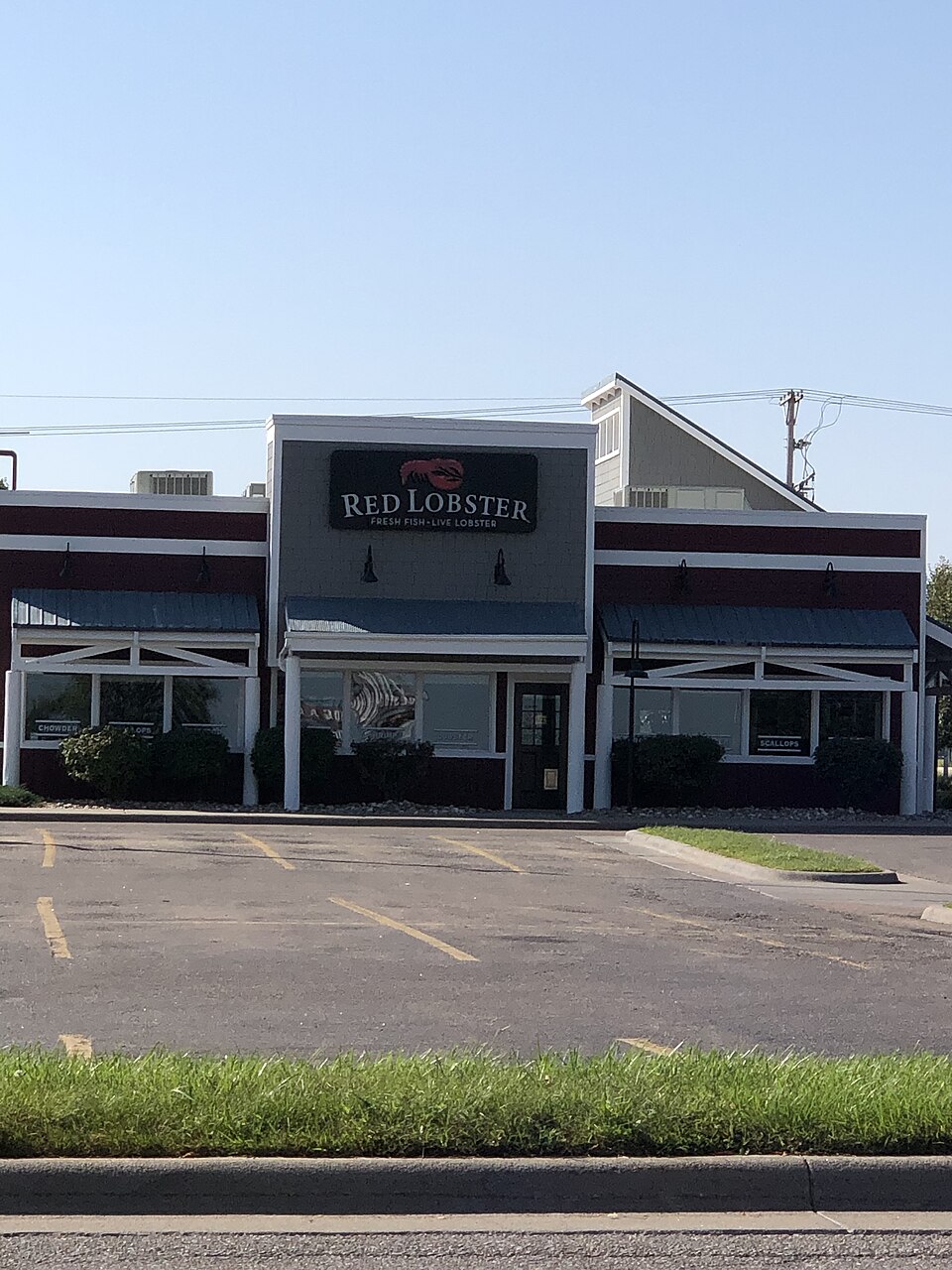 Conestoga MallGrand Island, NE · 2023Redeveloped · outdoor shopping mall
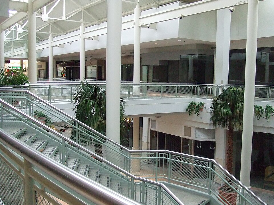 Crossroads MallOmaha, NE · 2024Redeveloped · a dirt lotHuskervilleLincoln, NERedeveloped · Reinhabited · The chapel, listed in the National Register of Historic Places, is…