Industrial sites · Nebraska
Omaha Rail and Commerce Historic District
Downtown Omaha industrial district successfully retrofitted to housing/commercial; housing market growth supports ongoing use. · summary, model-written
Solid = from the authors' map · outlined = public source · dashed = model-written, not yet reviewed by a person. Tap any value's source label to see where it came from. documented = a quoted excerpt (click to read it) · reported = a source named, no excerpt yet · no source.
Site profile5 elements · what this retrofit is built with · tap a chip for the evidence
3+ other atlas sites within 10 km
This site: 13 within 10 km computed · all sites with thisCounty permitting 2,000+ apartment units a year
This site: 2,583 units, Douglas County census-bps · all sites with thisReinhabited
This site: …apartments, artist studios and other commercial enterprises record · all sites with thisHousing
This site: …apartments, artist studios and other commercial enterprises newtypes-extraction · all sites with thisMixed use
This site: …new_use field newtypes-extraction · all sites with thisNow
| Status | Retrofit builtnewtypes-extraction reported |
|---|---|
| Strategy | ReinhabitedWikipedia no source |
| New uses | housing, mixed, otherWikipedia no source |
| What is there now | apartments, artist studios and other commercial enterprisesnewtypes-extraction reported |
Links out
Every link is built from an id this record holds (parcel number, filer CIK, Wikidata item, Census tract, coordinates) or from the name and city typed into a search. Nothing here is a guessed address. Search links are marked search in their source note; commercial listing links are marked for search engines not to follow. Hover a link for why it is here.
Official records (3)
government and regulatory records for this site, built from ids on the record
- Douglas County (31055) profile (data.census.gov)from site.county_fips 31055
- FEMA flood map (NFHL) at this pointfrom site.lat/lon
- EPA ECHO facilities within 1 milefrom site.lat/lon
Reference (4)
encyclopaedic and research references
- Wikipedia articlefrom site.wikipedia
- Wikidata item Q7089444from site.wikidata_qid
- Wikimedia Commons photos within 500 mfrom site.lat/lon
- Retrofitting Suburbia (book site)from constant
Place (8)
map and street views by coordinates
- Google Mapsfrom site.lat/lon
- Street Viewfrom site.lat/lon
- Bing Mapsfrom site.lat/lon
- Apple Mapsfrom site.lat/lon
- OpenStreetMapfrom site.lat/lon
- Walk Score at this pointfrom site.lat/lon
- Transitland mapfrom site.lat/lon
- USGS National Mapfrom site.lat/lon
Market (1)
listings and owner pages; commercial, so search engines are told not to follow
- LoopNet: for sale in Omaha, NEfrom site.city + state → search
News (2)
news searches and archived pages
- Google News: “Omaha Rail and Commerce Historic District”from site.name + city → search
- Bing News: “Omaha Rail and Commerce Historic District”from site.name + city → search
Planning (1)
the jurisdiction's own pages
- Omaha, Nebraska on Wikipediafrom city_wikipedia.json (Wikipedia API)
History and original facts
| County | Douglas County |
|---|---|
| Census division | 4 · West North Central |
| Notes | Draft from Wikipedia, model-extracted, unreviewed: The Omaha Rail and Commerce Historic District, originally industrial and commercial buildings, has been reinhabited with apartments, artist studios, and other commercial enterprises. |
Not yet recorded: acres, GLA, year opened, original developer, retrofit year. Know it? Tell us.
Planning
| No zoning change, subsidy or policy tool recorded for this site. |
Site context
| Housing permits, Douglas County (NE), 2024 | 2,583 units in 5+ unit buildings, 89 in 2–4, 1,867 single-family; 2023: 1,751 in 5+Census BPS |
|---|---|
| Other atlas sites nearby | 13 within 10 km, 14 within 25 km: Union Pacific Harriman Dispatch Center (0.2 km); Old Market (0.4 km); Burlington Headquarters Building (0.6 km); Nash Block (0.6 km); Strip mall near Saddle Creek Road (1.0 km)computed |
| Retail trade in the county, 2025 (BLS QCEW) | 32,260 jobs in 1,709 establishments; average annual pay $41,407; employment location quotient 0.96; employment -0.8% on the yearBLS QCEW 2025, NAICS 44-45, private |
| Jobs located in the tract, 2022 | 19,246 jobs; 238 in retail trade, 2,153 in accommodation and food (workplace blocks summed to tract 31055001800)Census LEHD LODES8 WAC 2022 |
| Upward mobility (Opportunity Atlas, 2010 tract) | children of low-income (25th percentile) families reached the 36th income percentile as adults; 6.1% incarcerated at the 2010 count (116 children in the sample); born 1978–83, measured 2014–15Opportunity Insights |
| Food access (USDA FARA 2019, 2010 tract) | not a low-access tract at 1 mile; poverty rate 12.4%; median family income $97,143; 166 SNAP householdsUSDA ERS |
| Schools | Omaha Public Schools (PK-12); 3 public schools within 1 mile: LIBERTY ELEMENTARY SCHOOL; CENTRAL HIGH SCHOOL; PINE ELEMENTARY SCHOOLNCES EDGE |
| Elevation | 1,010 ft above sea level at the site pointUSGS 3DEP |
| Storm events in the county, 2016-2025 | 373 county-logged events: 165 hail, 143 thunderstorm wind, 40 flash flood, 18 flood; $40,535,000 property damage reported; 1 direct deaths; forecast-zone events (most flood, winter and heat) not countedNOAA Storm Events |
| Homes for sale in ZIP 68102, 2026-09 | median list price $517,500 (-7.3% on the year); 20 active listings; median 99 days on market; 9% with a price cutRealtor.com Research |
| Retail trade in the county, 2012 to 2023 | 1,668 establishments (-5%); 36,257 jobs (+4%)Census CBP |
| Housing market in the county | typical home value $294,051 (+2% 1 yr, +23% 5 yr); typical rent $1,381/mo (+2% 1 yr), 2026-09Zillow Research |
| Traffic on the busiest road within 600 m (2024) | 11,976 vehicles a day on 13TH STREET (principal arterial, 4 lanes); 40 counted segmentsFHWA HPMS |
Summary, model-written
The Omaha Rail and Commerce Historic District (industrial, not a mall) is actively retrofitted. Original warehouses/manufacturing uses now include apartments, artist studios, and commercial enterprises. It's located downtown Omaha near Union Pacific facilities (0.2km to Harriman Dispatch Center) and the Old Market (0.4km).
Why. Retrofit is complete (status: built). Housing market shows rising demand: ZHVI up 22.9% over 5 years ($294k latest). 2024 permits show 1,867 single-unit housing starts in Douglas County. Nearby peers (Center Mall, Nash Block) use same 'reinhabit' strategy.
Where it stands. Downtown Omaha, within 1km of Union Pacific, Old Market, and Burlington HQ. 13 nearby sites within 10km (including 3 'reinhabit' peers).
For a planner
- Downtown location near transit/history supports mixed-use. Traffic: 11,976 ADT on 13th St (principal arterial).
- Housing market growth (2.2% YoY) aligns with current retrofit uses.
For a developer
- Active housing permits (1,867 units in 2024) confirm market demand. No new construction needed—existing structures are occupied.
- Nearby peers (e.g., Center Mall, 4km away) show similar successful retrofit model.
What we do not know yet
- Exact building count/square footage not provided.
- County population growth rate (5.5%) lacks timeframe.
- No data on current occupancy rates or rent levels.
Generated by qwen3-30b-a3b-64k:latest on Dell 5820 RTX 3090 (Ollama, qwen3-30b-a3b) from the fields, parcels, deals and context layers on this page, with no outside knowledge. It is regenerated when the record changes and has not been checked by a person. How it is made.
Similar sites
- South Roads Mall, Bellevue, NE · Malls · same strategy: reinhabit; also in NE; 8 km away
- Center Mall, Omaha, NE · Malls · same strategy: reinhabit; also in NE; 4 km away
- Nash Block, Omaha, NE · Industrial sites · same strategy: reinhabit; also in NE; 1 km away
- Burlington Headquarters Building, Omaha, NE · Office parks · same strategy: reinhabit; also in NE; 1 km away
Elsewhere on the web
Search images: Google · Bing · Commons · references: ULI case studies · Google Scholar
Multifamily screen
- retrofit already built
- county grew 5.5% 2018–23
- housing in the record
Inputs: record fields (size, status) and county Census ACS 2018–2023 figures (growth, rent). How the points work. Not a recommendation.
Background
The Omaha Rail and Commerce Historic District, roughly bounded by Jackson, 15th, and 8th Streets, as well as the Union Pacific main line, is located in downtown Omaha, Nebraska. Today this historic district includes several buildings listed individually on the National Register of Historic Places, including the Union Pacific Depot and the Burlington Station. == About == The Union Pacific Railroad was of central importance to the growth of Omaha, particularly between 1887 and 1945. Buildings in the Omaha Rail and Commerce Historic District were built to serve business related to the main line of the transcontinental railroad, which runs through the present-day district.
Excerpt from Wikipedia (authors and history), CC BY-SA 4.0. May be older than the record above.
Sources
- Omaha Rail and Commerce Historic District · CC BY-SA 4.0
1 quoted sentence
Omaha Rail and Commerce Historic District
More in Nebraska
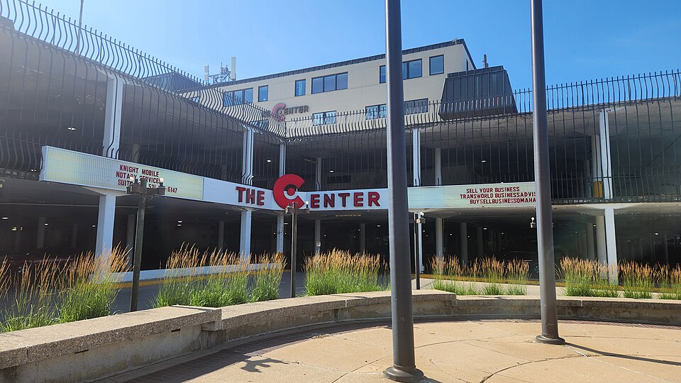 Center MallOmaha, NEReinhabited · Reinhabitation: office & services
 South Roads MallBellevue, NE · 2004Reinhabited · Reinhabitation: officeBurlington Headquarters BuildingOmaha, NEReinhabited · office space
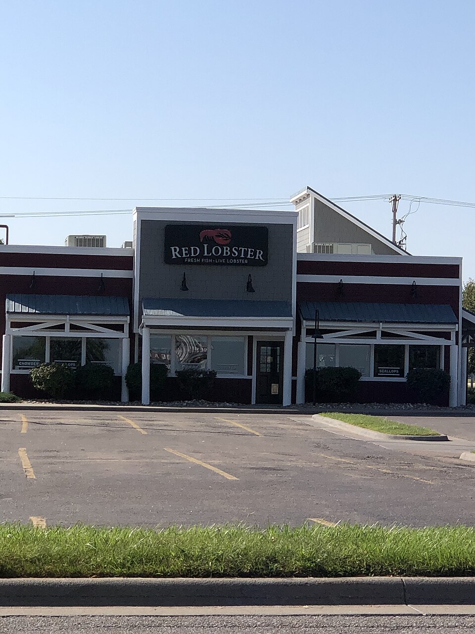 Conestoga MallGrand Island, NE · 2023Redeveloped · outdoor shopping mall
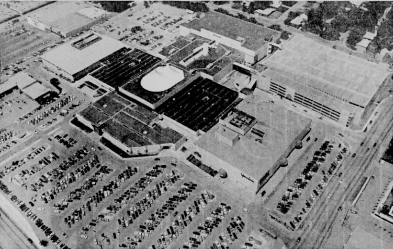 Crossroads MallOmaha, NE · 2024Redeveloped · a dirt lotHuskervilleLincoln, NERedeveloped · Reinhabited · The chapel, listed in the National Register of Historic Places, is…