Other · Pennsylvania
Industrial park along Vultee Street
Built industrial park on FAA-approved airport buffer land; not an active opportunity per record. · summary, model-written
More
Solid = from the authors' map · outlined = public source · dashed = model-written, not yet reviewed by a person. Tap any value's source label to see where it came from. documented = a quoted excerpt (click to read it) · reported = a source named, no excerpt yet · no source.
Site profile3 elements · what this site is built with · tap a chip for the evidence
Redeveloped
This site: …present-day industrial park record · all sites with thisLogistics and industrial
This site: …present-day industrial park Approved by FAA. newtypes-extraction · all sites with thisPark and open space
This site: …present-day industrial park Approved by FAA. newtypes-extraction · all sites with thisNow
| Status | Retrofit builtnewtypes-extraction reported |
|---|---|
| Strategy | RedevelopedWikipedia no source |
| New uses | industrialWikipedia no source |
| What is there now | present-day industrial parknewtypes-extraction reported |
| Developer | private industrynewtypes-extraction |
Links out
Every link is built from an id this record holds (parcel number, filer CIK, Wikidata item, Census tract, coordinates) or from the name and city typed into a search. Nothing here is a guessed address. Search links are marked search in their source note; commercial listing links are marked for search engines not to follow. Hover a link for why it is here.
Official records (3)
government and regulatory records for this site, built from ids on the record
- Lehigh County (42077) profile (data.census.gov)from data.census.gov
- FEMA flood map (NFHL) at this point (search)from msc.fema.gov
- EPA ECHO facilities within 1 milefrom echo.epa.gov
Reference (3)
encyclopedic and research references
- Wikimedia Commons photos within 500 mfrom commons.wikimedia.org
- Retrofitting Suburbia (book site)from retrofittingsuburbia.com
- Allentown, Pennsylvania on Wikipediafrom en.wikipedia.org
Place (8)
map and street views by coordinates
- Google Mapsfrom google.com
- Street Viewfrom google.com
- Bing Mapsfrom bing.com
- Apple Mapsfrom maps.apple.com
- OpenStreetMapfrom openstreetmap.org
- Walk Score at this pointfrom walkscore.com
- Transitland mapfrom transit.land
- USGS National Mapfrom apps.nationalmap.gov
Market (1)
listings and owner pages; commercial, so search engines are told not to follow
- LoopNet: for sale in Allentown, PA (search)from city search
News (2)
news searches and archived pages
- Google News: “Industrial park along Vultee Street” (search)from name search
- Bing News: “Industrial park along Vultee Street” (search)from name search
History and original facts
| Original developer | private industrynewtypes-extraction reported |
|---|---|
| County | Lehigh County |
| Census division | 2 · Mid-Atlantic |
| Notes | Draft from Wikipedia, model-extracted, unreviewed: In 1961, land surrounding Queen City Airport was redeveloped into an industrial park along Vultee Street. |
Not yet recorded: acres, GLA, year opened, retrofit year. Know it? Tell us.
Planning
| Planning notes | Approved by FAA.Wikipedia |
|---|
Site context
| Housing permits, Lehigh County (PA), 2024 | 501 units in 5+ unit buildings, 20 in 2–4, 541 single-family; 2023: 8 in 5+Census BPS |
|---|---|
| Other atlas sites nearby | 2 within 10 km, 3 within 25 km: Airport site (for large warehouse) (0.0 km); Whitehall Plaza (7.1 km)computed |
| Retail trade in the county, 2025 (BLS QCEW) | 18,306 jobs in 1,107 establishments; average annual pay $36,831; employment location quotient 0.91; employment -1.0% on the yearBLS QCEW 2025, NAICS 44-45, private |
| Jobs located in the tract, 2022 | 8,091 jobs; 82 in retail trade, 359 in accommodation and food (workplace blocks summed to tract 42077009700)Census LEHD LODES8 WAC 2022 |
| Upward mobility (Opportunity Atlas, 2010 tract) | children of low-income (25th percentile) families reached the 35th income percentile as adults; 5.6% incarcerated at the 2010 count (734 children in the sample); born 1978–83, measured 2014–15Opportunity Insights |
| Food access (USDA FARA 2019, 2010 tract) | not a low-access tract at 1 mile; poverty rate 52.2%; median family income $21,615; 654 SNAP householdsUSDA ERS |
| Schools | Allentown City School District (KG-12); 9 public schools within 1 mile: Roberto Clemente CS; Arts Academy Elementary CS; Jefferson El Sch; Washington El SchNCES EDGE |
| Elevation | 364 ft above sea level at the site pointUSGS 3DEP |
| Storm events in the county, 2016-2025 | 312 county-logged events: 200 thunderstorm wind, 44 flash flood, 38 hail, 13 heavy rain; $20,038,010 property damage reported; 1 direct deaths; forecast-zone events (most flood, winter and heat) not countedNOAA Storm Events |
| Homes for sale in ZIP 18101, 2026-09 | median list price $230,000 (+15.1% on the year); 1 active listings; median 93 days on market; 0% with a price cutRealtor.com Research |
| Retail trade in the county, 2012 to 2023 | 1,172 establishments (-6%); 27,011 jobs (+32%)Census CBP |
| Housing market in the county | typical home value $363,024 (+4% 1 yr, +34% 5 yr); typical rent $1,820/mo (+3% 1 yr), 2026-09Zillow Research |
| Traffic on the busiest road within 600 m (2024) | 22,577 vehicles a day on SEVENTH ST (principal arterial, 3 lanes); 394 trucks; 40 counted segmentsFHWA HPMS |
Summary, model-written
Industrial park built on former airport buffer land along Vultee Street in Allentown, PA. Approved by FAA per planning_notes. Current use is industrial (matches new_use).
Why. Original_use was airport buffer land; developed by private industry per origins. Status is 'built' with after_notes confirming present-day industrial park.
Where it stands. Not an active opportunity: opp_reasons state 'retrofit already built' and county grew 3.5% 2018–23. No developer name specified (only 'private industry' in parties).
For a planner
- 0km from proposed Airport site (n-564b6dd728)
- 7km from under-construction Whitehall Plaza (n-d7ac11888b)
For a developer
- Housing ZHVI up 33.7% 5y (Zillow)
- Retail employment up 32.5% 2012–23
- Unknown: specific developer, construction timeline, or parcel size.
What we do not know yet
- No developer name
- No year built
- No parcel size details
- County growth rate cited but no project-specific demand data.
Generated by qwen3-30b-a3b-64k:latest on Dell 5820 RTX 3090 (Ollama, qwen3-30b-a3b) from the fields, parcels, deals and context layers on this page, with no outside knowledge. It is regenerated when the record changes and has not been checked by a person. How it is made.
Similar sites
- Airport site (for large warehouse), Allentown, PA · Other · same strategy: redevelop; also in PA; 0 km away
- Whitehall Plaza, Whitehall Twp., PA · Malls · same strategy: redevelop; also in PA; 7 km away
- Regent Retail Park, Salford, PA · Strip centers · same strategy: redevelop; also in PA; 34 km away
- Market at Liberty Place, Kennett Square Borough, PA · Other · same strategy: redevelop; also in PA
Elsewhere on the web
Search images: Google · Bing · Commons · references: ULI case studies · Google Scholar
Multifamily screen
- retrofit already built
- county grew 3.5% 2018–23
Inputs: record fields (size, status) and county Census ACS 2018–2023 figures (growth, rent). How the points work. Not a recommendation.
Timeline
- 1961 FAA allowed land surrounding the airport to be used by private industry, leading to industrial park development
Sources
- Allentown Queen City Municipal Airport · CC BY-SA 4.0
2 quoted sentences
industrial park along Vultee Street
The FAA allowed some of the land surrounding the airport to be used by private industry, which led to the development of the present-day industrial park along Vultee Street.
More in Pennsylvania
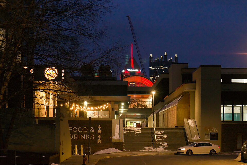 Allegheny Center MallPittsburgh, PA · 2015Reinhabited · urban renewal plans that built the original…
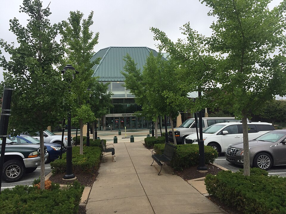 Exton Square MallExton, PA · 2020Partial Redeveloped · Reinhabited · Partial reinhabitation: healthcare, civic Partial redevelopment:…
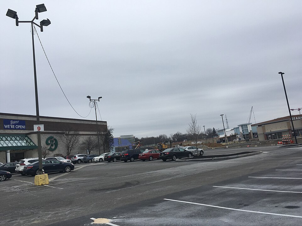 Granite Run MallMiddletown, PA · 2013Partial Redeveloped · Partial redevelopment: demalled plus residential
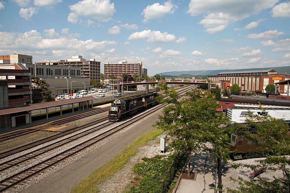 Station MallAltoona, PA · 2010Reinhabited · Reinhabitation, healthcare435 Devon Park Dr.Wayne, PA · 2024Regreening · Reinhabitation, under construction · 162 apartments across the existing two-story buildings. Three acres…Abbey Gardens office complexReading, PAReinhabitation, approved · 92 apartments, made up of 84 one-bed and eight two-bed flats