Other · Virginia
Quarterpath Road (at Tutters Neck Pond)
Approved park trail under construction; no development opportunity available. · summary, model-written
Solid = from the authors' map · outlined = public source · dashed = model-written, not yet reviewed by a person. Tap any value's source label to see where it came from. documented = a quoted excerpt (click to read it) · reported = a source named, no excerpt yet · no source.
Site profile5 elements · what this retrofit is built with · tap a chip for the evidence
Retrofit in the pipeline
This site: …approved newtypes-extraction · all sites with thisCounty lost 10%+ of retail establishments since 2012
This site: -12% census-cbp · all sites with thisCounty typical rent $2,000+
This site: $2,106/mo zillow · all sites with thisRegreened
This site: …walking and biking trail, with access to Redoubt Park commemorating the American Civil War history there. record · all sites with thisPark and open space
This site: …walking and biking trail, with access to Redoubt Park commemorating the American Civ newtypes-extraction · all sites with thisNow
| Status | Retrofit approvednewtypes-extraction reported |
|---|---|
| Strategy | Regreening, approvedWikipedia no source |
| New uses | parkWikipedia no source |
| What is there now | walking and biking trail, with access to Redoubt Park commemorating the American Civil War history there.newtypes-extraction reported |
Planning
| Planning notes | Approved by city.Wikipedia no source |
|---|
Site context
| Housing permits, Williamsburg (Independent City (VA), 2024 | 0 units in 5+ unit buildings, 0 in 2–4, 10 single-family; 2023: 0 in 5+Census BPS |
|---|---|
| Other atlas sites nearby | 1 within 10 km, 1 within 25 km: Williamsburg Outlet Mall (9.0 km)computed |
| Retail trade in the county, 2025 (BLS QCEW) | 1,054 jobs in 79 establishments; average annual pay $34,459; employment location quotient 0.84; employment +0.8% on the yearBLS QCEW 2025, NAICS 44-45, private |
| Jobs located in the tract, 2022 | 3,784 jobs; 407 in retail trade, 1,707 in accommodation and food (workplace blocks summed to tract 51830370100)Census LEHD LODES8 WAC 2022 |
| Upward mobility (Opportunity Atlas, 2010 tract) | children of low-income (25th percentile) families reached the 39th income percentile as adults; 8.6% incarcerated at the 2010 count (92 children in the sample); born 1978–83, measured 2014–15Opportunity Insights |
| Food access (USDA FARA 2019, 2010 tract) | low-income, low-access tract (1 mile urban / 10 miles rural); 44% of residents more than 1 mile from a supermarket; poverty rate 20.1%; median family income $127,875; 18 SNAP householdsUSDA ERS |
| Schools | Williamsburg City Public Schools (PK-12); 1 public school within 1 mile: Matthew Whaley ElementaryNCES EDGE |
| Elevation | 80 ft above sea level at the site pointUSGS 3DEP |
| Storm events in the county, 2016-2025 | 32 county-logged events: 21 heavy rain, 7 thunderstorm wind, 1 hail, 1 lightning; $17,000 property damage reported; 1 direct deaths; forecast-zone events (most flood, winter and heat) not countedNOAA Storm Events |
| Homes for sale in ZIP 23185, 2026-09 | median list price $557,478 (+4.5% on the year); 186 active listings; median 47 days on market; 18% with a price cutRealtor.com Research |
| Retail trade in the county, 2012 to 2023 | 106 establishments (-12%); 1,488 jobs (-24%)Census CBP |
| Housing market in the county | typical home value $414,600 (+3% 1 yr, +24% 5 yr); typical rent $2,106/mo (+9% 1 yr), 2026-09Zillow Research |
| Traffic on the busiest road within 600 m (2024) | 8,794 vehicles a day on 5 (minor arterial, 2 lanes); 198 trucks; 37 counted segmentsFHWA HPMS |
Summary, model-written
Quarterpath Road (at Tutters Neck Pond) in Williamsburg, VA, is approved for conversion to a park ("regreen" strategy), with a walking/biking trail under construction connecting to Redoubt Park (Civil War commemoration).
Why. Status is approved; record states it is "already in play: under construction, approved, or sold to a developer with housing plans". Opp_score is 0.0 due to this status.
Where it stands. City approved. Trail construction underway. No parcel details provided. Not available for new development.
For a planner
- Traffic: 8,794 ADT on minor arterial (2 lanes, 37 segments in 600m)
- Retail decline: -11.7% establishments, -24.2% employment since 2012 (county data)
- Housing: ZHVI $414,600 (2026-09), +3.4% YoY growth
For a developer
- No opportunity: already approved/under construction
- No housing or retail development data available
- Williamsburg Outlet Mall (demolished) 9km away
What we do not know yet
- No parcel boundaries or ownership details
- No details on trail construction timeline
- County growth rate (5.2% 2018–23) not tied to this project
Generated by qwen3-30b-a3b-64k:latest on Dell 5820 RTX 3090 (Ollama, qwen3-30b-a3b) from the fields, parcels, deals and context layers on this page, with no outside knowledge. It is regenerated when the record changes and has not been checked by a person. How it is made.
Similar sites
- Fair Oaks Mall, Fairfax County, VA · Malls · same strategy: regreen; also in VA
- Ballston Commons, Arlington, VA · Malls · same strategy: regreen; also in VA
Elsewhere on the web
Search images: Google · Bing · Commons · references: ULI case studies · Google Scholar
Multifamily screen
- already in play: under construction, approved, or sold to a developer with housing plans
- county grew 5.2% 2018–23
Inputs: record fields (size, status) and county Census ACS 2018–2023 figures (growth, rent). How the points work. Not a recommendation.
History and original facts
| County | Williamsburg city |
|---|---|
| Census division | 5 · South Atlantic |
| Notes | Draft from Wikipedia, model-extracted, unreviewed: A section of Quarterpath Road in Williamsburg is being converted from a motor vehicle road to a walking and biking trail. |
Not yet recorded: acres, GLA, year opened, original developer, retrofit year. Know it? Tell us.
Background
Quarterpath Road is one of the oldest roads in James City County and the independent city of Williamsburg, Virginia. == History == === Colonial era === Established in the 17th century, Quarterpath Road extended from Middle Plantation (renamed Williamsburg in 1699) through what later became Kingsmill Plantation to Burwell's Landing on the James River, a few miles east of Jamestown. The Burwells were among the First Families of Virginia in the Colony of Virginia, and built the plantation's manor house beginning in the 1730s.
Excerpt from Wikipedia (authors and history), CC BY-SA 4.0. May be older than the record above.
Sources
- Quarterpath Road · CC BY-SA 4.0
1 quoted sentence
Quarterpath Road at Tutters Neck Pond
More in Virginia
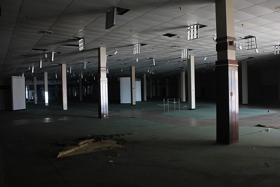 Cloverleaf MallRichmond, VA · 2009Redeveloped · Redevelopment: mixed use, new streets
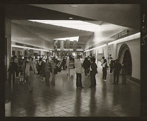 Coliseum MallHampton, VA · 2010Redeveloped · Redevelopment: mixed useNewmarket North MallHampton, VA · 2000Reinhabited · Reinhabitation: office
 Tysons Corner CenterTysons Corner, VA · 2016Partial Redeveloped · Partial redevelopment: residential
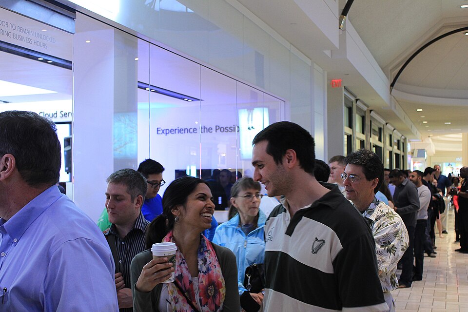 Tysons GalleriaTysons Corner, VA · 2016Partial Redeveloped · Partial redevelopment: office