Malls · Ohio
Great Northern Mall area
Opened 1976. Redevelopment, proposed in 2025. Owner of record Water Tower Square Limited Patnership.
More
Solid = from the authors' map · outlined = public source · dashed = model-written, not yet reviewed by a person. Tap any value's source label to see where it came from. documented = a quoted excerpt (click to read it) · reported = a source named, no excerpt yet · no source.
Site profile10 elements · what this site is built with · tap a chip for the evidence
Retrofit in the pipeline
This site: …proposed newtypes-extraction · all sites with thisPublic body
This site: NORTH OLMSTED CITY OF county-parcels · all sites with thisCounty lost 10%+ of retail establishments since 2012
This site: -10% census-cbp · all sites with thisShrinking county
This site: -0.3% census-acs · all sites with thisRezoning
This site: Mall Area Mixed Use (MAMU) Overlay District newtypes-extraction · all sites with this60+ acre site
This site: 140 acres newtypes-extraction · all sites with thisRedeveloped
This site: …a compact, walkable neighborhood record · all sites with thisHousing
This site: …new_use field newtypes-extraction · all sites with thisMixed use
This site: …new_use field newtypes-extraction · all sites with thisRetail (continued)
This site: …new_use field newtypes-extraction · all sites with thisNow
| Status | Retrofit proposednewtypes-extraction reported |
|---|---|
| Strategy | Redevelopment, proposedWikipedia no source |
| New uses | housing, mixed, retailWikipedia no source |
| What is there now | a compact, walkable neighborhoodnewtypes-extraction reported |
| Retrofit year | 2025newtypes-extraction reported |
| Owner of record | Water Tower Square Limited Patnershipcounty assessor no source |
Links out
Every link is built from an id this record holds (parcel number, filer CIK, Wikidata item, Census tract, coordinates) or from the name and city typed into a search. Nothing here is a guessed address. Search links are marked search in their source note; commercial listing links are marked for search engines not to follow. Hover a link for why it is here.
Official records (8)
government and regulatory records for this site, built from ids on the record
- Cuyahoga County MyPlace · parcel 23501083from myplace.cuyahogacounty.gov
- Cuyahoga County MyPlace · parcel 23212010from myplace.cuyahogacounty.gov
- Cuyahoga County MyPlace · parcel 23501087from myplace.cuyahogacounty.gov
- Cuyahoga County MyPlace · parcel 23209043from myplace.cuyahogacounty.gov
- Cuyahoga County MyPlace · parcel 23212006from myplace.cuyahogacounty.gov
- Cuyahoga County (39035) profile (data.census.gov)from data.census.gov
- FEMA flood map (NFHL) at this point (search)from msc.fema.gov
- EPA ECHO facilities within 1 milefrom echo.epa.gov
Reference (3)
encyclopedic and research references
- Wikimedia Commons photos within 500 mfrom commons.wikimedia.org
- Retrofitting Suburbia (book site)from retrofittingsuburbia.com
- North Olmsted, Ohio on Wikipediafrom en.wikipedia.org
Place (8)
map and street views by coordinates
- Google Mapsfrom google.com
- Street Viewfrom google.com
- Bing Mapsfrom bing.com
- Apple Mapsfrom maps.apple.com
- OpenStreetMapfrom openstreetmap.org
- Walk Score at this pointfrom walkscore.com
- Transitland mapfrom transit.land
- USGS National Mapfrom apps.nationalmap.gov
Market (1)
listings and owner pages; commercial, so search engines are told not to follow
- LoopNet: for sale in North Olmsted, OH (search)from city search
News (2)
news searches and archived pages
- Google News: “Great Northern Mall area” (search)from name search
- Bing News: “Great Northern Mall area” (search)from name search
History and original facts
| Opened | 1976newtypes-extraction reported |
|---|---|
| Acres | 140newtypes-extraction reported |
| County | Cuyahoga County |
| Census division | 3 · East North Central |
| Notes | Draft from north-olmsted.com, model-extracted, unreviewed: The Great Northern Mall area is proposed to be transformed into a 140-acre compact, walkable, mixed-use neighborhood under a 2025 overlay district. |
Not yet recorded: GLA, original developer. Know it? Tell us.
Planning
| Zoning change | Mall Area Mixed Use (MAMU) Overlay Districtnewtypes-extraction |
|---|---|
| Entitlement year | 2025Wikipedia no source |
Parcels, tax and title
| Parcel | Owner of record | Acres | Use · zoning | Value (appraised · assessed · taxable) | Last sale · deed | ||||||||||||||||||||||||||||||||||||||||||||||||||||||||||||||||||||||||||||||||||||||||||||||||||||||||||||||||||||||||||||||||||||||||||||||||||||||||||||||||
|---|---|---|---|---|---|---|---|---|---|---|---|---|---|---|---|---|---|---|---|---|---|---|---|---|---|---|---|---|---|---|---|---|---|---|---|---|---|---|---|---|---|---|---|---|---|---|---|---|---|---|---|---|---|---|---|---|---|---|---|---|---|---|---|---|---|---|---|---|---|---|---|---|---|---|---|---|---|---|---|---|---|---|---|---|---|---|---|---|---|---|---|---|---|---|---|---|---|---|---|---|---|---|---|---|---|---|---|---|---|---|---|---|---|---|---|---|---|---|---|---|---|---|---|---|---|---|---|---|---|---|---|---|---|---|---|---|---|---|---|---|---|---|---|---|---|---|---|---|---|---|---|---|---|---|---|---|---|---|---|---|---|---|---|---|---|
23209043all 109 county fields
| Water Tower Square Limited Patnership | 15.6 | COMMUNITY SHOP CNTR | $12.8M (appraised) assessed $4.5M | 2018-03-13 | ||||||||||||||||||||||||||||||||||||||||||||||||||||||||||||||||||||||||||||||||||||||||||||||||||||||||||||||||||||||||||||||||||||||||||||||||||||||||||||||||
23212010all 102 county fields
| North Olmsted City Of | 1.7 | $0 (appraised) assessed $0 | 1982-01-01 | |||||||||||||||||||||||||||||||||||||||||||||||||||||||||||||||||||||||||||||||||||||||||||||||||||||||||||||||||||||||||||||||||||||||||||||||||||||||||||||||||
23501087all 108 county fields
| Likakis, Emmanuel & Likakis, Gregory Co-Trustees | 0.8 | DRIVE-IN RESTAURANT | $783,800 (appraised) assessed $274,330 | 2018-09-11 | ||||||||||||||||||||||||||||||||||||||||||||||||||||||||||||||||||||||||||||||||||||||||||||||||||||||||||||||||||||||||||||||||||||||||||||||||||||||||||||||||
23212006all 110 county fields
| Triple R Associates, Ltd., | 0.4 | GAS STATION W/ KIOSK | $990,800 (appraised) assessed $346,790 | 1993-05-14 $250,000 | ||||||||||||||||||||||||||||||||||||||||||||||||||||||||||||||||||||||||||||||||||||||||||||||||||||||||||||||||||||||||||||||||||||||||||||||||||||||||||||||||
23501083all 109 county fields
| Individual (Name Withheld) | 0.3 | 1-FAMILY PLATTED LOT | $151,500 (appraised) assessed $53,030 | 2026-06-16 | ||||||||||||||||||||||||||||||||||||||||||||||||||||||||||||||||||||||||||||||||||||||||||||||||||||||||||||||||||||||||||||||||||||||||||||||||||||||||||||||||
| Total | 18.8 | $14.7M |
Site context
| Housing permits, Cuyahoga County (OH), 2024 | 920 units in 5+ unit buildings, 102 in 2–4, 663 single-family; 2023: 735 in 5+Census BPS |
|---|---|
| Other atlas sites nearby | 0 within 10 km, 7 within 25 kmcomputed |
| Retail trade in the county, 2025 (BLS QCEW) | 54,041 jobs in 3,980 establishments; average annual pay $38,612; employment location quotient 0.79; employment -0.9% on the yearBLS QCEW 2025, NAICS 44-45, private |
| Jobs located in the tract, 2022 | 1,142 jobs; 71 in retail trade, 40 in accommodation and food (workplace blocks summed to tract 39035174204)Census LEHD LODES8 WAC 2022 |
| Upward mobility (Opportunity Atlas, 2010 tract) | children of low-income (25th percentile) families reached the 51st income percentile as adults; 1.0% incarcerated at the 2010 count (248 children in the sample); born 1978–83, measured 2014–15Opportunity Insights |
| Food access (USDA FARA 2019, 2010 tract) | low-access at 1 mile, not low-income; 47% of residents more than 1 mile from a supermarket; poverty rate 6.8%; median family income $84,300; 72 SNAP householdsUSDA ERS |
| Schools | North Olmsted City School District (PK-12); 3 public schools within 1 mile: North Olmsted High School; North Olmsted Middle School; Pine Intermediate SchoolNCES EDGE |
| Elevation | 762 ft above sea level at the site pointUSGS 3DEP |
| Storm events in the county, 2016-2025 | 307 county-logged events: 199 thunderstorm wind, 48 hail, 46 flash flood, 8 flood; $38,727,500 property damage reported; forecast-zone events (most flood, winter and heat) not countedNOAA Storm Events |
| Homes for sale in ZIP 44070, 2026-09 | median list price $299,900 (+0.0% on the year); 58 active listings; median 27 days on market; 16% with a price cutRealtor.com Research |
| Retail trade in the county, 2012 to 2023 | 3,890 establishments (-10%); 67,128 jobs (+11%)Census CBP |
| Housing market in the county | typical home value $218,659 (+3% 1 yr, +32% 5 yr); typical rent $1,413/mo (+5% 1 yr), 2026-09Zillow Research |
| Traffic on the busiest road within 600 m (2024) | 23,828 vehicles a day on LORAIN RD (principal arterial, 4 lanes); 413 trucks; 16 counted segmentsFHWA HPMS |
Summary, model-written
Great Northern Mall (opened 1976, 140 acres) is proposed for redevelopment to housing/mixed retail under a 2025 MAMU Overlay District zoning change. Status is 'proposed' with entitlement approved for 2025. After redevelopment, it will be a compact, walkable neighborhood. The project is noted as 'already in play' in the record (not yet built).
Why. Zoning change (MAMU) approved for 2025; 140-acre scale; housing market context (Cuyahoga County ZHVI $218,659, +32.5% 5-year growth); similar Ohio peers (Euclid Square, Rolling Acres) are also redeveloping. Project is verified as 'draft' and not yet under construction.
Where it stands. Status: Proposed (not built). Zoning entitlement secured for 2025. No current construction data in record. Housing market data shows strong growth (ZORI +32.6% 5-year).
For a planner
- Zoning change (MAMU) is approved for 2025; project aligns with regional redevelopment trend (Ohio peers).
- 140-acre scale requires significant mixed-use planning.
For a developer
- Project is approved for entitlement (2025) but not yet built. Housing market data supports demand (ZHVI growth).
- No construction permits or unit counts recorded yet.
What we do not know yet
- Status is 'proposed' – not under construction or sold. No current development timeline beyond 2025. Verified as 'draft' (not confirmed).
Generated by qwen3-30b-a3b-64k:latest on Dell 5820 RTX 3090 (Ollama, qwen3-30b-a3b) from the fields, parcels, deals and context layers on this page, with no outside knowledge. It is regenerated when the record changes and has not been checked by a person. How it is made.
Similar sites
- Lakeforest Mall, Gaithersburg, MD · Malls · similar size (100 acres); opened 1978; same strategy: redevelop
- DeSoto Square Mall, South Bradenton, FL · Malls · similar size (100 acres); opened 1973; same strategy: redevelop
- Euclid Square Mall, Euclid, OH · Malls · opened 1977; same strategy: redevelop; also in OH
- Rolling Acres Mall, Akron, OH · Malls · opened 1975; same strategy: redevelop; also in OH
Elsewhere on the web
Search images: Google · Bing · Commons · references: ULI case studies · Google Scholar
Multifamily screen
- already in play: under construction, approved, or sold to a developer with housing plans
- 140 acres
- housing in the record
Inputs: record fields (size, status) and county Census ACS 2018–2023 figures (growth, rent). How the points work. Not a recommendation.
Timeline
- 1976 Great Northern Mall opened
- 1976 Opened
- 2025 Mall Area Mixed Use (MAMU) Overlay District brought
- 2025 Retrofit: redevelop
Sources
- Planning and Zoning Policies and Procedures Manual - North Olmsted
3 quoted sentences
Great Northern Mall area
In 1976, Great Northern Mall opened, eventually reaching 2.2 million square feet.
Most significantly, 2025 brought the Mall Area Mixed Use (MAMU) Overlay District, a 140-acre framework for the transformation of the Great Northern Mall area
More in Ohio
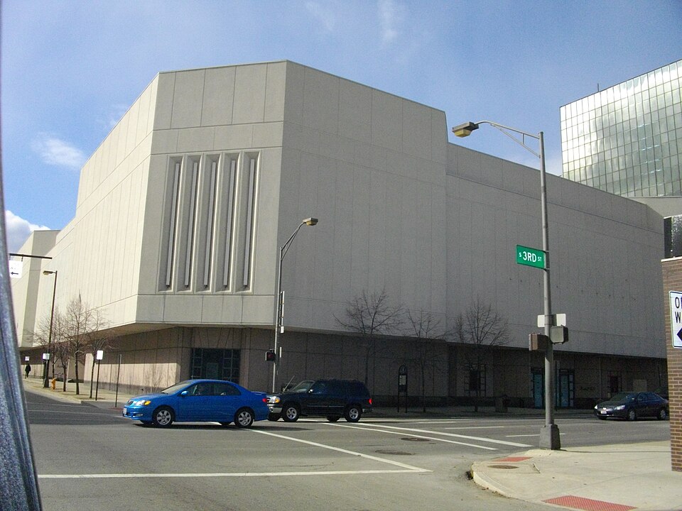 City CenterColumbus, OH · 2011Redeveloped · Regreened · Regreening: park Partial redevelopment: mixed-use residentialCity Centre MartMiddletown, OH · 2001Redeveloped · Redevelopment: restored street grid
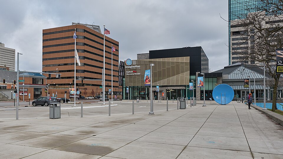 Portside Festival MarketplaceToledo, OH · 1997Reinhabited · Reinhabitation: science museum
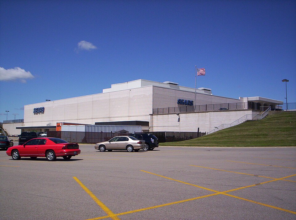 Richland MallOntario, OH · 2015Partial Reinhabited · Partial reinhabitation: healthcare